Planina Blato - Planina Vodični vrh
Starting point: Planina Blato (1147 m)
| Latitude/Longitude: | 46,31120°N 13,85010°E |
| |
Walking time: 1 h 35 min
Difficulty: easy marked way
Elevation gain: 347 m
Elevation difference along the route: 450 m
Map: Triglav 1:25.000
Recommended equipment (summer):
Recommended equipment (winter): ice axe, crampons
Views: 104
 | 1 person like this post |
Access to starting point:
From the Ljubljana - Jesenice motorway we take the Lesce exit and follow the road towards Bled and onwards towards Bohinjska Bistrica. We continue driving towards Lake Bohinj (Ribčev laz), where we reach a junction and continue right in the direction of Stara Fužina. In Stara Fužina at the junction by the chapel we turn sharply left onto the ascending road in the direction of Planina Blato, Planina Vogar and the Voje valley. The road then takes us to the point where toll and parking fees are collected, and we follow it onwards to the next junction, where we continue left (right Voje). We then follow the road to the next junction (we drive for quite some time), where we turn sharply right in the direction of Planina Blato (straight ahead Planina Vogar). We then follow this road to the parking area in front of Planina Blato.
Route description:
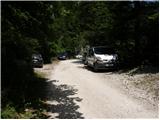
From the marked parking area in front of Planina Blato we go back a little and turn onto a wide and initially steep cart track marked for Planina pri Jezeru. After about ten minutes of ascent we reach a marked junction, from where we continue left in the direction of Planina pri Jezeru (slightly right leads to Planina v Lazu and a steep path towards Planina pri Jezeru).
We then follow a less steep cart track that leads us through the forest. A little further on a marked path joins from the left, leading past Kosijev dom on Vogar, but we continue right and keep walking along the cart track. Higher up the path leads through a small gorge, then crosses quite steep slopes where there is a high risk of slipping on ice and snow, but in snow-free conditions the path is not demanding. At the end of the steep slope the previously mentioned steep path joins rather inconspicuously from the right. The cart track here turns left and enters the cool Pungrat valley, where we mostly ascend through spruce forest. When the path levels out higher up we reach a junction where the path to Planina Vodični vrh branches off to the left, while the path to Koča na Planini pri Jezeru continues to the right along a wide path.
We turn left in the direction of Planina Vodični vrh and begin to ascend through spruce forest. Higher up the path levels out, then rises moderately again and bypasses the wooded Vodični vrh on the right side. We then begin to descend along the southern slopes of the mentioned peak. When the path levels out we reach a marked but barely noticeable junction, where we turn right downhill in the direction of Planina Vodični vrh. We reach it as soon as we leave the forest, or after about two minutes of further descent.
Planina Blato - junction for Planina Vodični vrh 0:55, junction for Planina Vodični vrh - Planina Vodični vrh 0:40.

Along the route: Razpotje Pungrat (1255m), Razpotje pod Vodičnim vrhom (1449m)
Photos:
 1
1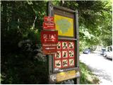 2
2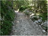 3
3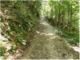 4
4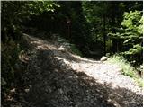 5
5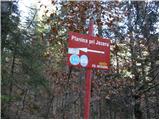 6
6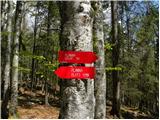 7
7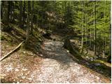 8
8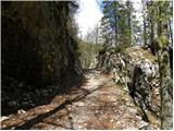 9
9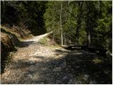 10
10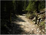 11
11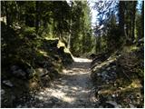 12
12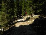 13
13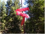 14
14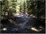 15
15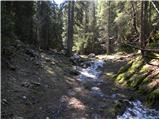 16
16 17
17 18
18 19
19 20
20 21
21 22
22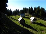 23
23
Discussion about the trip Planina Blato - Planina Vodični vrh
To post a comment you must log in:
If you do not yet have a username, you must first
register.