Planina Blato - Visoka glava
Starting point: Planina Blato (1147 m)
| Latitude/Longitude: | 46,31120°N 13,85010°E |
| |
Walking time: 2 h 30 min
Difficulty: easy pathless terrain
Elevation gain: 675 m
Elevation difference along the route: 715 m
Map: Triglav 1:25.000
Recommended equipment (summer):
Recommended equipment (winter): ice axe, crampons
Views: 4.894
 | 1 person like this post |
Access to starting point:
From the Ljubljana - Jesenice motorway, take the Lesce exit and follow the road towards Bled and further towards Bohinjska Bistrica. Continue driving towards Lake Bohinj (Ribčev laz), where you reach a junction and continue right towards Stara Fužina. In Stara Fužina, at the junction by the chapel, turn sharply left onto the ascending road towards Planina Blato, Planina Vogar and Voje valley. The road then takes you to the toll and parking fee collection point, but follow it further to the next junction, where you continue left (right Voje). Follow the road to the next junction (it takes quite some time driving), where you turn sharply right towards Planina Blato (straight Planina Vogar). Follow this road to the parking lot above Planina Blato.
In winter, the road is often impassable, which extends the approach by 30 minutes to 1.5 hours (depending on where you leave the car).
Route description:
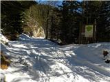
From the marked parking lot at Planina Blato, walk back a few dozen steps, then head onto the wide and initially quite steep cart track towards Planina pri Jezeru. After ten minutes of fairly steep ascent, you reach a marked junction, where you continue on the left steep cart track (straight Planina v Lazu), to which a marked path from Planina Vogar joins a little higher up. Continue on the wide, partly stony cart track, which levels out higher up, then steeply ascends through a small cutting. Further on, the path levels out again and then crosses steep slopes (danger of slipping in snow and ice). A little further, the path turns sharply left and takes you into a cold valley called Pungrat, where you cross an abandoned pasture fence. The path then begins to ascend more steeply again, then turns right and levels out completely. A few meters further, a path from Planina Vodični vrh joins from the left, but you continue straight and after five more minutes of walking arrive at Planina pri Jezeru, in the middle of which stands a mountain hut.
From the mountain hut, continue slightly left and initially downhill to a marked junction, from which you take the right path towards Dedno polje (left Planina Viševnik and Pršivec). The still wide path first ascends gently, then moderately to steeply through sparse spruce forest. Higher up, a path branches left over Krištofojca towards Planina Viševnik, but you continue on the wide path, which levels out somewhat higher up and then turns slightly right, where you catch sight of Planina Dedno polje ahead. Here the path turns left and after a few more steps takes you to Planina Dedno polje, at the edge of which is a marked junction.
From the junction at Planina Dedno polje, continue straight towards Koča pri Triglavskih jezerih, follow the marked path for another approximately ten minutes, or to the point where a nice passage opens to the right into an initially smaller and indistinct valley. Continue the ascent on complete pathless terrain, keeping to the small valley between Kovačičeva glava on the right and the less pronounced summit of Visoka glava on the left. The "path" then ascends steeply, the valley levels out and takes you into a difficult terrain overgrown with dwarf pines. Among the dwarf pines, look for passages, but always keep slightly left, where higher up you step onto a very panoramic and even ridge. Along the ridge, which is still overgrown with dwarf pines, ascend to the summit, on which stand a few individual larches.
Starting point - Planina pri Jezeru 1:00, Planina pri Jezeru - Planina Dedno polje 0:30, Planina Dedno polje - Visoka glava 1:00.

Photos:
 1
1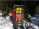 2
2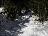 3
3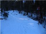 4
4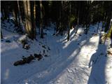 5
5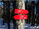 6
6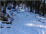 7
7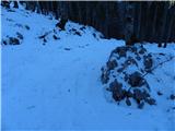 8
8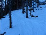 9
9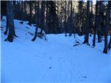 10
10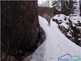 11
11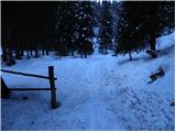 12
12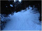 13
13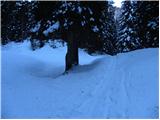 14
14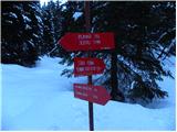 15
15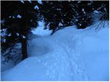 16
16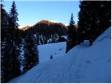 17
17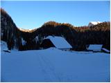 18
18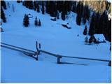 19
19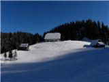 20
20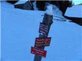 21
21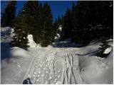 22
22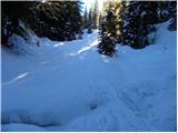 23
23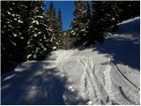 24
24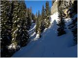 25
25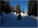 26
26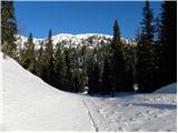 27
27 28
28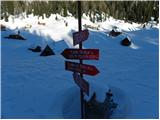 29
29 30
30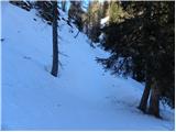 31
31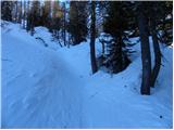 32
32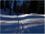 33
33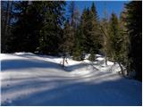 34
34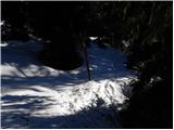 35
35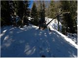 36
36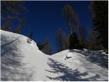 37
37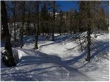 38
38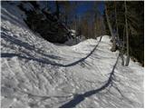 39
39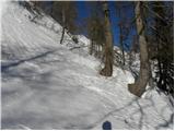 40
40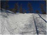 41
41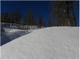 42
42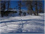 43
43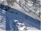 44
44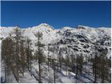 45
45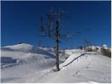 46
46 47
47 48
48 49
49 50
50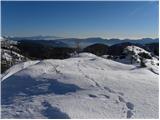 51
51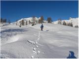 52
52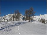 53
53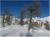 54
54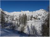 55
55
Discussion about the trip Planina Blato - Visoka glava
To post a comment you must log in:
If you do not yet have a username, you must first
register.