Planina Dol - Planina Konjščica (Velika planina)
Starting point: Planina Dol (1308 m)
| Latitude/Longitude: | 46,31780°N 14,63790°E |
| |
Walking time: 30 min
Difficulty: easy marked way
Elevation gain: 197 m
Elevation difference along the route: 197 m
Map: Kamniške in Savinjske Alpe 1:50.000
Recommended equipment (summer):
Recommended equipment (winter): ice axe, crampons
Views: 15.636
 | 1 person like this post |
Access to starting point:
a) From the direction of Kamnik: First we drive to Kamnik, then continue driving towards the Črnivec pass. Just a few hundred meters before the mentioned pass we notice signs for Kranjski Rak, which direct us sharply left onto a narrow and initially quite steep road. The road levels out higher up and takes us to the Volovljek pass, where immediately after the Kranjski Rak inn we turn left onto the road towards Velika planina.
We continue driving on the road, the initial part of which is now already asphalted. We follow the asphalt upwards to the next, somewhat larger intersection, where we leave the main asphalted road and continue right onto the gravel road towards planina Dol (straight ahead the road branches off towards planina Kisovec). We follow the moderately ascending gravel road past the Ušivec parking lot, from where we continue on a somewhat poorer gravel road, following it at intersections in the direction of planina Dol. After a while the road starts to descend steeply, and we follow it all the way to the officially marked Dol parking lot.
Warning: Parking outside officially marked places is strictly prohibited in the area of Velika planina!
b) From the direction of Savinjska dolina: From the Savinjska dolina we first drive to Luče, then continue driving towards Kamnik. When we reach the Volovljek pass (Kranjski Rak), we turn right onto the road towards Velika planina.
We continue driving on the road, the initial part of which is now already asphalted. We follow the asphalt upwards to the next, somewhat larger intersection, where we leave the main asphalted road and continue right onto the gravel road towards planina Dol (straight ahead the road branches off towards planina Kisovec). We follow the moderately ascending gravel road past the Ušivec parking lot, from where we continue on a somewhat poorer gravel road, following it at intersections in the direction of planina Dol. After a while the road starts to descend steeply, and we follow it all the way to the officially marked Dol parking lot.
Warning: Parking outside officially marked places is strictly prohibited in the area of Velika planina!
Route description:
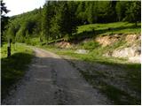
From the parking lot we continue along the gravel road, which descends almost imperceptibly towards the western part of the mountain pasture. After a few minutes of easy walking we will notice a shepherd's hut on the left side, and we continue along the gravel road for another few 10 meters, to the place where we notice signs for Konj and Velika planina on a tree. Here we continue left (right Konj) and after a short gentle ascent we arrive at the shepherd's huts on planina Dol.
From the shepherd's huts on the mountain pasture, we ascend past the cross to the edge of the forest, then continue the ascent along the path that climbs through the forest. Higher up the forest becomes increasingly sparse and after approximately 30 minutes of ascent from planina Dol the path takes us to planina Konjščica, from where a view opens towards the nearby Rzenik.
Photos:
 1
1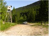 2
2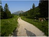 3
3 4
4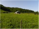 5
5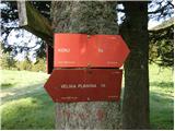 6
6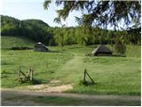 7
7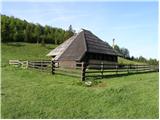 8
8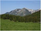 9
9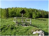 10
10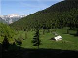 11
11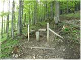 12
12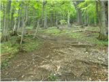 13
13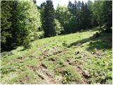 14
14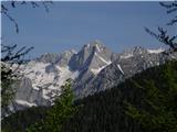 15
15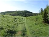 16
16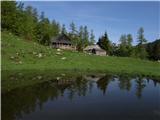 17
17
Discussion about the trip Planina Dol - Planina Konjščica (Velika planina)
To post a comment you must log in:
If you do not yet have a username, you must first
register.