Planina Kuhinja - Planica (below Krn)
Starting point: Planina Kuhinja (991 m)
| Latitude/Longitude: | 46,24130°N 13,66300°E |
| |
Walking time: 1 h 20 min
Difficulty: easy pathless terrain
Elevation gain: 385 m
Elevation difference along the route: 405 m
Map: Julijske Alpe - zahodni del 1:50.000
Recommended equipment (summer):
Recommended equipment (winter): ice axe, crampons
Views: 8.078
 | 1 person like this post |
Access to starting point:
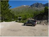
From Tolmin we drive towards Kobarid or vice versa, but only to a spot where signs for Kamno point us to the right (from the direction of Kobarid left) over a bridge. We then follow a relatively narrow and ascending road in the direction of the village Vrsno and higher Krn. From the village Krn we continue in the direction of the mountain hut on Planina Kuhinja. We park on a parking lot, which is located only a few minutes before the mentioned mountain hut (further driving is forbidden).
Route description:
From the parking lot, we head to the left lower road in the direction of Koča na planini Kuhinja. The path first leads along the road that crosses a belt of sparse forest, then splits into two parts.
The right path bypasses Koča na planini Kuhinja and is somewhat shorter, the left one, which continues along the road, leads past the already mentioned hut.
A little above the hut both paths join again, and we continue the ascent along a gentle path in the direction of Krn. Higher up the trail moderately ascends and quickly brings us over a scenic slope to the nearby forest road, which we follow to the left (straight along the Krn footpath). We walk along the road for a while, following it to the first sharp right bend, in the middle of which signs for the chapel on Planica direct us left (straight) onto a cart track that soon turns into an old mule track. After a short ascent the path enters dense forest and descends briefly. The path then turns right and crosses several gullies and steep slopes, but since the path is wide enough it is not particularly dangerous. The slope then flattens, and the path leads us from the forest to the pasture areas of the saddle between Planica and Pleče. On the wide saddle a poorer track branches sharply to the right leading to the summit of Planica, while we continue straight and after 3 minutes of further walking arrive at the chapel on Planica.
From the chapel we return to the nearby saddle, from there continuing along an initially well-followable track that begins to ascend toward the north. Higher up the increasingly faintly visible track turns slightly right and starts to disappear among grasses and bushes, while we continue left onto the scenic grassy ridge, along which we ascend to a wire fence (upper edge of the pasture). We then cross the fence and ascend pathless on the increasingly steep and overgrown slope to an indistinct and overgrown summit.
From the summit we can continue pathless to the nearby neighboring summit Kopsko, 15 minutes away.
In fog, orientation in the upper part is quite difficult.

Photos:
 1
1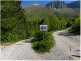 2
2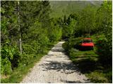 3
3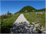 4
4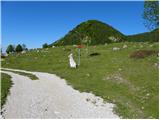 5
5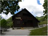 6
6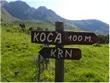 7
7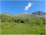 8
8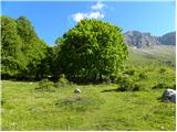 9
9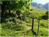 10
10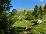 11
11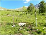 12
12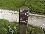 13
13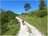 14
14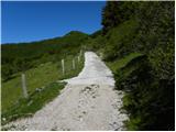 15
15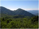 16
16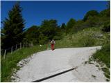 17
17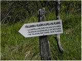 18
18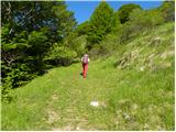 19
19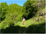 20
20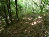 21
21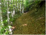 22
22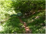 23
23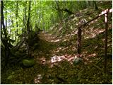 24
24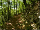 25
25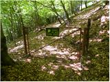 26
26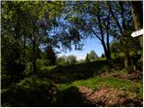 27
27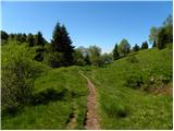 28
28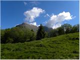 29
29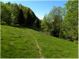 30
30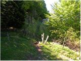 31
31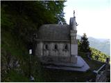 32
32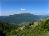 33
33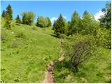 34
34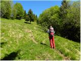 35
35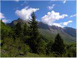 36
36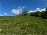 37
37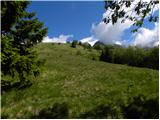 38
38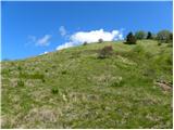 39
39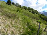 40
40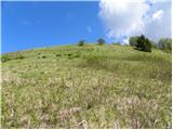 41
41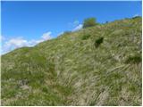 42
42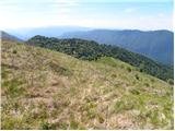 43
43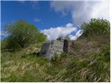 44
44 45
45
Discussion about the trip Planina Kuhinja - Planica (below Krn)
To post a comment you must log in:
If you do not yet have a username, you must first
register.