Planina Loka - Planina Arta
Starting point: Planina Loka (1435 m)
| Latitude/Longitude: | 46,40340°N 14,75730°E |
| |
Walking time: 45 min
Difficulty: easy marked way
Elevation gain: 129 m
Elevation difference along the route: 170 m
Map: Kamniške in Savinjske Alpe 1:50.000
Recommended equipment (summer):
Recommended equipment (winter): ice axe, crampons
Views: 12
 | 1 person like this post |
Access to starting point:
a) We drive to Mozirje, then continue driving towards Logarska dolina. On the main road we drive to the settlement Strmec, where immediately after Bar Bife we turn right onto a side road marked for Koča na Loki and Snežna jama. We gradually start to ascend more steeply, and at all intersections we follow the signs for Snežna jama and Koča na Loki. After approximately 16 km of driving we arrive at the parking lot at the junction of the path to Koča na Loki, where we park.
b) From the Gorenjska direction we drive towards the Črnivec pass, and before the pass we turn left towards Kranjski Rak or the Volovljek pass. After the Volovljek pass we start descending towards Luče, and in Luče we turn right towards Mozirje. The road then leads us through the settlement Raduha, after which we arrive in the settlement Strmec, where before Bar Bife we turn left onto the road marked for Koča na Loki and Snežna jama. We gradually start to ascend more steeply, and at all intersections we follow the signs for Snežna jama and Koča na Loki. After approximately 16 km of driving we arrive at the parking lot at the junction of the path to Koča na Loki, where we park.
Route description:
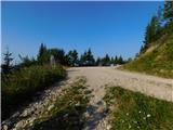
At the parking lot we notice hiking direction signs for Koča na Loki and Raduha, which direct us onto a poorer forest road that ascends through a belt of forest. After just a few dozen steps of walking we step out of the forest onto the lower part of planina Loka. We continue the ascent on a relatively steep road, on which we reach Koča na Loki pod Raduho in a few minutes.
At Koča na Loki we continue left in the direction of Planina Arta and Rogovilec (straight ahead leads the usual path to Raduha). First we ascend transversely towards the west, then we leave the pasture and continue the path through the forest. In the forest we continue to traverse the slopes to the left, and the path continues with a few shorter ascents and descents. At a few smaller junctions we consistently follow the markings. When we leave the forest we reach the eastern part of Planina Arta, and along it we continue transversely to the shepherd's hut, which stands somewhere in the middle of the mountain pasture.
Starting point - Koča na Loki 0:15, Koča na Loki - Planina Arta 0:30.
The description refers to the situation in September 2026, and the pictures are from July 2026 and September 2026.

Photos:
 1
1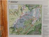 2
2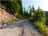 3
3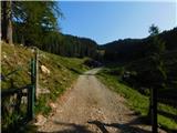 4
4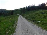 5
5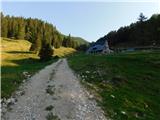 6
6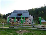 7
7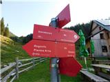 8
8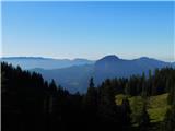 9
9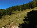 10
10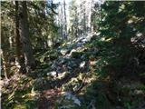 11
11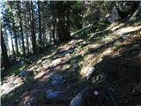 12
12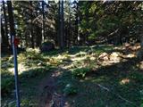 13
13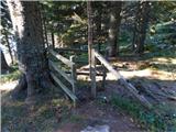 14
14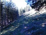 15
15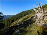 16
16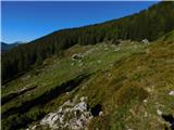 17
17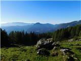 18
18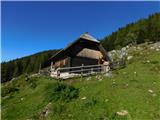 19
19
Discussion about the trip Planina Loka - Planina Arta
To post a comment you must log in:
If you do not yet have a username, you must first
register.