Planina Zajavornik - Mrežce (gentle path)
Starting point: Planina Zajavornik (1292 m)
| Latitude/Longitude: | 46,36290°N 13,94910°E |
| |
Route name: gentle path
Walking time: 2 h
Difficulty: easy marked way
Elevation gain: 673 m
Elevation difference along the route: 680 m
Map: TNP 1:50.000
Recommended equipment (summer):
Recommended equipment (winter): ice axe, crampons
Views: 17.501
 | 1 person like this post |
Access to starting point:
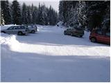
From the Ljubljana - Jesenice motorway we take the Lesce exit and follow the road towards Bled, where at the traffic-light intersection signs for Pokljuka direct us right. We follow this road, which in the lower part takes us through several villages and later begins to ascend more steeply, to Mrzli Studenec (a mountain pasture located some 50 m beyond the intersection where the road to Bohinj branches off left downhill). In the middle of the mentioned mountain pasture a road branches off to the right from the main road, leading to Medvedova konta, the Pri Rupah monument and planina Zajavornik. Here we turn right and in the following intersections follow the road towards planina Zajavornik. The road then takes us to the parking area near planina Zajavornik.
Route description:
From the parking area we head onto the footpath towards Blejska koča. The path, which at first ascends gently through a spruce forest, a little higher crosses a forest road, after which a path from the NOB monument (Pri Rupah) soon joins from the left. The rather wide path, which runs the whole time surrounded by spruce forests, higher up brings us to the next junction, where we continue left towards Lipanca (right Medvedova konta). We continue the ascent along a very wide cart track, which in a gentle ascent brings us in a few minutes to the grazing area of planina Lipanca. Here the path turns right and in a moderate ascent leads us along the right lower edge of the mentioned mountain pasture. Crossing a grassy slope follows and the path, which again brings us into the forest, makes a sharp right turn at the NOB memorial plaque, after which we reach the shepherd's and mountain hut on planina Lipanca.
From the hut we continue left towards Viševnik and Mrežce along a path from which a path towards Rudno polje soon branches off left downhill. We continue straight and the moderately steep path after a short ascent brings us to the next junction, where we continue towards Viševnik (right Mrežce steep path). The path then in a gentle descent crosses a landslide-prone area in unfavourable conditions and on the other side begins to ascend gently. The path ascends through an increasingly sparse forest and soon brings us to a junction below the summit of Mrežce.
Here we continue right (left downhill Viševnik and Debeli vrh) along a moderately steep path, which in 15 minutes of further walking brings us to the summit of Mrežce.

The trip can be extended to the following destinations: Lipanski vrh
Photos:
 1
1 2
2 3
3 4
4 5
5 6
6 7
7 8
8 9
9 10
10 11
11 12
12 13
13 14
14 15
15 16
16 17
17 18
18 19
19 20
20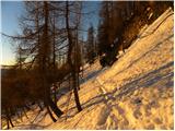 21
21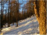 22
22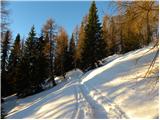 23
23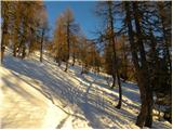 24
24 25
25 26
26 27
27 28
28 29
29 30
30 31
31 32
32 33
33 34
34 35
35 36
36 37
37 38
38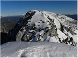 39
39
Discussion about the trip Planina Zajavornik - Mrežce (gentle path)
To post a comment you must log in:
If you do not yet have a username, you must first
register.