Plaz Črlovec - Drobeče Sleme (upper path)
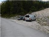
Starting point: Plaz Črlovec (920 m)
| Latitude/Longitude: | 46,43110°N 13,87840°E |
| |
Route name: upper path
Walking time: 4 h 25 min
Difficulty: partly demanding unmarked way, easy marked way
Elevation gain: 1109 m
Elevation difference along the route: 1225 m
Map: TNP 1:50.000
Recommended equipment (summer): helmet
Recommended equipment (winter): helmet, ice axe, crampons
Views: 1.080
 | 3 people like this post |
Access to starting point:
We drive to Mojstrana, then we follow the signs for the Vrata valley. Along the road through the Vrata valley we drive to the road sign 8 km or a few 10 meters further to the Plaz Črlovec gully, where the described path begins. Parking in the area of the TNP is allowed only on marked parking spots.
Route description:
From Plaz Črlovec we return along the road a few 10 meters back, then we continue on a side road which continues towards the northeast. The path ahead leads us past a gate, after the gate an unmarked path branches off to the left, which leads towards Kukova špica and Njivice. We continue on the mentioned path (straight to pastures Višek and Vrtaška planina via the lower path) and we start ascending on the right side of the Veliki Črlovec gully. A little higher a path joins us from the left which leads across the gully (the start is at the Plaz Črlovec gully, directly from the road leading towards Aljažev dom in Vrata, or where the starting point is indicated), and we follow the best-trodden path, as there are quite a few junctions, mainly shortcuts or longer turns of the made path. Higher the path crosses onto a ridge which formed between Veliki and Mali Črlovec, the transitional panoramic path then returns to the forest, through which it ascends in a few hairpin turns. Still in the forest, at an altitude of approximately 1500 meters we arrive at a junction, where we continue right (left, where on a tree we notice the inscription "KUK", Kukova špica).
From the junction we ascend a few more minutes through the forest, then the path turns increasingly to the right and quickly brings us to the Mali Črlovec gully, where we cross a few gullies. On steep sections greater caution is needed, somewhat awkward is also the passage from the last, largest gully of Mali Črlovec. This is followed by an ascent through a belt of dwarf pines, where due to a landslide the path makes a small "detour". Ahead of us is a short traverse and we arrive at a small junction, where we continue left on the upper path (straight middle path leading to Vrtaška planina).
Further on we mostly ascend diagonally towards the right, the path occasionally also makes a serpentine. Higher we cross a few screes, then the path stops ascending for a while, as it continues with a few shorter ascents and descents. After a longer traverse, where the trail is all the time relatively easy to follow, the trail starts to disappear. We continue somewhat to the left and across a pasture fence we reach the lower edge of Njivice, where we also notice the PP sign (Planica - Pokljuka path), a few 10 steps further we step onto the marked path.
On the marked path we continue slightly left (right Vrtaška planina) and ascend through a pleasant little valley to the marked junction on Njivice.
From the junction we continue straight towards Sleme (right Vrtaški vrh 20 minutes), the path on the upper part of the pasture turns slightly left into a belt of dwarf pines. This is followed by an easy ascent through dwarf pines and sparse larch forest, when the path turns somewhat more to the left, it also starts to ascend more steeply on the higher grassy slope. After a few minutes of steep ascent we reach a panoramic ridge, from which a nice view opens towards Kukova špica, Špik and surrounding mountains.
On the ridge we go right (left Sleme 10 minutes) and continue on an unmarked trail, along which we quickly reach a belt of dwarf pines. The trail through the dwarf pines is well traceable, and in a few minutes of further walking we arrive at the summit of Drobeče Sleme.
Starting point - junction to Kukova špica 1:50, junction to Kukova špica - Njivice 1:40, Njivice - Drobeče Sleme 0:55.

Along the route: Njivice (1820m)
Photos:
 1
1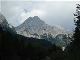 2
2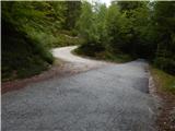 3
3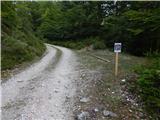 4
4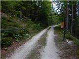 5
5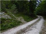 6
6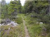 7
7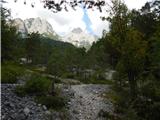 8
8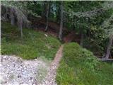 9
9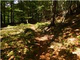 10
10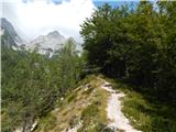 11
11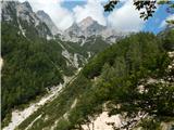 12
12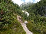 13
13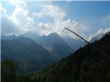 14
14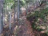 15
15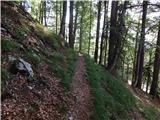 16
16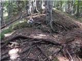 17
17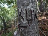 18
18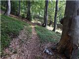 19
19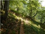 20
20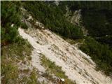 21
21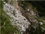 22
22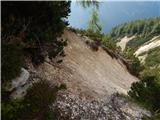 23
23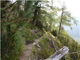 24
24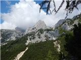 25
25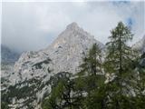 26
26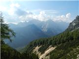 27
27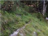 28
28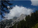 29
29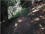 30
30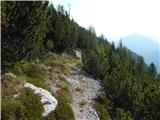 31
31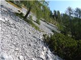 32
32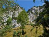 33
33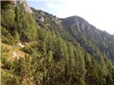 34
34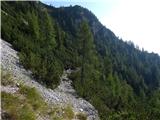 35
35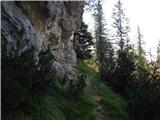 36
36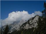 37
37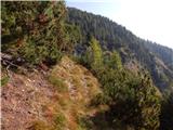 38
38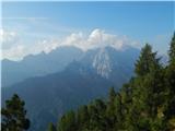 39
39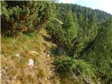 40
40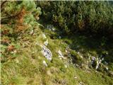 41
41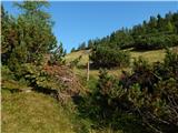 42
42 43
43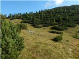 44
44 45
45 46
46 47
47 48
48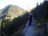 49
49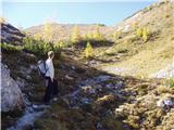 50
50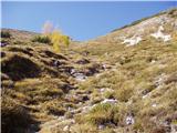 51
51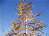 52
52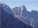 53
53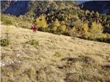 54
54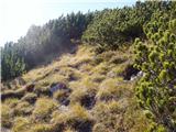 55
55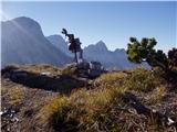 56
56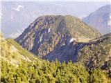 57
57
Discussion about the trip Plaz Črlovec - Drobeče Sleme (upper path)
|
| Jusk10. 10. 2020 |
Today on the way to Vrtaško Sleme I first went up there, since Vrtaško Sleme is a well-visited summit, Drobeče Sleme isn't..last entry in the book 30.9. the cow bell is still up there and working
|
|
|
To post a comment you must log in:
If you do not yet have a username, you must first
register.