Starting point: Pod Krnico (1250 m)
| Latitude/Longitude: | 46,43460°N 14,40830°E |
| |
Walking time: 45 min
Difficulty: easy unmarked way
Elevation gain: 197 m
Elevation difference along the route: 200 m
Map: Karavanke - osrednji del 1:50.000
Recommended equipment (summer):
Recommended equipment (winter):
Views: 1.370
 | 1 person like this post |
Access to starting point:
We drive to Tržič, then follow the signs for Dovžanova soteska, Dolina and Jelendol. In Jelendol we continue right towards Medvodje (left - mountain pasture Šija), then follows a fairly gentle macadam drive to Medvodje, where we go left in the direction of Dolga njiva. When we get to Košutnik (1080 m) we go right towards the mountain pasture Dolga njiva (left - other mountain pastures below Košuta) and drive along the road to the marked parking lot Pod Krnico, where we park.
Route description:
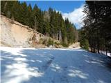
From the starting point we continue along the road, which runs parallel to the marked path; when we cross the Košutnik stream, the road turns right and ascends transversely. For some time we ascend transversely, then the road splits.
We continue on the right road, which heads southeast, and occasionally beautiful views open up from it. When we reach a small saddle north of Črna peč, we continue straight onto the cart track, from it we go right and then in two minutes through the forest reach the summit of Črna peč; for a nice view we walk a few more steps towards the west.
Description and pictures refer to the condition in March 2020.
Photos:
 1
1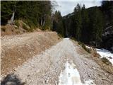 2
2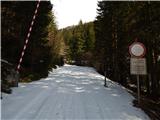 3
3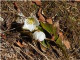 4
4 5
5 6
6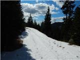 7
7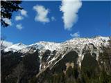 8
8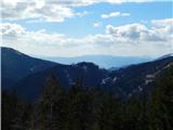 9
9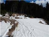 10
10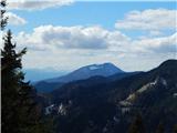 11
11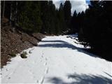 12
12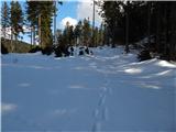 13
13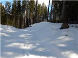 14
14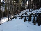 15
15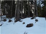 16
16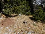 17
17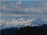 18
18
Discussion about the trip Pod Krnico - Črna peč
To post a comment you must log in:
If you do not yet have a username, you must first
register.