Pod Zjabci - Lanževica (via Lepa Komna)
Starting point: Pod Zjabci (745 m)
| Latitude/Longitude: | 46,32610°N 13,69820°E |
| |
Route name: via Lepa Komna
Walking time: 5 h
Difficulty: easy marked way
Elevation gain: 1258 m
Elevation difference along the route: 1450 m
Map: Julijske Alpe - zahodni del 1:50.000
Recommended equipment (summer):
Recommended equipment (winter): ice axe, crampons
Views: 7.021
 | 1 person like this post |
Access to starting point:
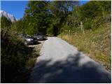
A) First, we drive to Kranjska Gora, and then we continue driving through the mountain pass Vršič towards Bovec. Soon after the gallery Berebica, we arrive in the village Soča, where we turn left over the bridge across the river Soča (direction tourist farm Jelinčič and camp Korita). After the bridge, we don't turn left towards the camp, but we continue driving straight on an ascending asphalt road. Further, we ascend over vast meadows, in the middle of which stand some individual huts, and then the road passes into the forest. Higher, the road turns quite to the left and brings us to Pod Zjabcev, where we notice mountain signposts for mountain pasture Planina Za skalo, Dom na Komni and Triglavska jezera. We park in a suitable place by the road.
B) From Primorska, first we drive to Bovec, and then we continue driving towards Trenta. Towards the end of the village Soča, we turn right in the direction of tourist farm Jelinčič and camp Korita. After the bridge, we don't turn left towards the camp, but we continue driving straight on an ascending asphalt road. Further, we ascend over vast meadows, in the middle of which stand some individual huts, and then the road passes into the forest. Higher, the road turns quite to the left and brings us to Pod Zjabcev, where we notice mountain signposts for mountain pasture Planina Za skalo, Dom na Komni and Triglavska jezera. We park in a suitable place by the road.
Route description:
From Pod Zjabcev we head onto the marked path, which bypasses the nearby huts on the right side. Behind the huts, the path goes into the forest and quickly brings us to a smaller junction, where we continue right over a stream. On the other side of the stream, the path turns left and starts to ascend moderately through dense forest. We continue the ascent along an old mule track, which is already quite eroded in several places, and which higher up brings us to a short steep rocky section. Through the mentioned section, a well-maintained and wide mule track leads us, and the path above the mentioned section brings us to a vantage point, from which a beautiful view opens up onto Bavški Grintavec.
From the vantage point, the path returns to the forest and quickly ascends to an old trough with water (here by the path there is a small spring, which dries up in dry periods). Above the trough, the path turns slightly left, then ascends in numerous zigzags through the forest. Higher up, the trail levels out somewhat and brings us to a less noticeable junction, where an abandoned path to mountain pasture Planina Za skalo branches off to the left.
From here we continue straight ahead, and a somewhat steeper path, after 10 minutes of further walking, brings us to the next junction, which this time is completely unmarked. Here a unmarked trail branches off to the right, leading to the nearby hunting hut and further to mountain pasture Planina za Črnim vrhom; to the left a hunting path branches off to mountain pasture Planina Za skalo, while we continue straight to the nearby next junction, which is somewhat better marked.
Here we continue straight or slightly right along the marked path in the direction of Triglavska jezera and Komna. We continue along a gentle path that brings us through coniferous forest to a fork.
From the fork we continue along the right path in the direction of Komna (left Triglavska jezera); this path bypasses Dol za Bajarjem on the right side. On the other side of the valley, the path begins to ascend, first gently, then more steeply. The steepness soon eases, and an increasingly scenic path brings us into a series of small valleys, through which we gently ascend to Oslova škrbina.
From Oslova škrbina the marked path begins to descend towards the plateau of Lepa Komna. During the descent some unmarked trails branch off to the right (old military mule tracks that, if we are heading to Lanževica, shorten the path by a good 20 minutes); we follow the marked path, which lower down brings us to a marked junction.
Here the path continues straight towards Planina na Kraju and further to Dom na Komni, while we turn sharply right towards Lanževica. The path ahead ascends through a belt of dwarf pines, then brings us into a small valley, where the previously mentioned unmarked shortcut joins from the right. We continue along the marked path, which turns left and then brings us into the next valley, along and through which we continue the ascent for some time. Higher up the trail turns slightly right and brings us to the ridge that separates Primorska from Gorenjska.
When we step onto the mentioned ridge we continue right (left Bogatinsko sedlo) and continue the ascent along the increasingly panoramic indistinct ridge path. Higher up the trail ascends steeply in a few places, then, with views of Krn, the Špičje ridge, Triglav and other surrounding peaks, brings us to the spacious summit of Lanževica.

Along the route: Oslova škrbina (1824m)
The trip can be extended to the following destinations: Velika Baba
Photos:
 1
1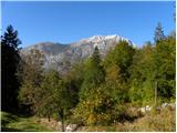 2
2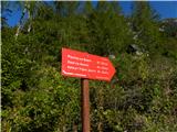 3
3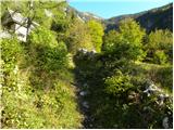 4
4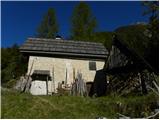 5
5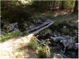 6
6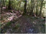 7
7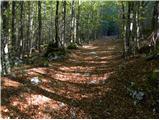 8
8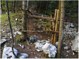 9
9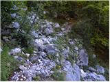 10
10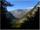 11
11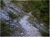 12
12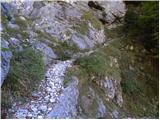 13
13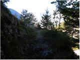 14
14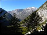 15
15 16
16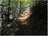 17
17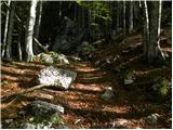 18
18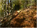 19
19 20
20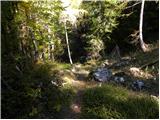 21
21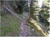 22
22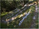 23
23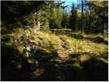 24
24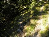 25
25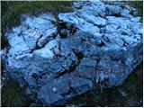 26
26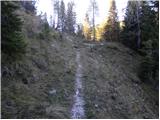 27
27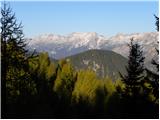 28
28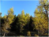 29
29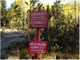 30
30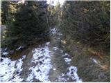 31
31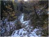 32
32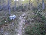 33
33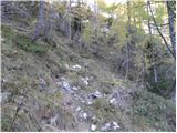 34
34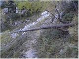 35
35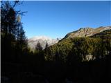 36
36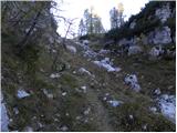 37
37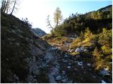 38
38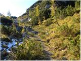 39
39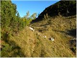 40
40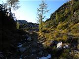 41
41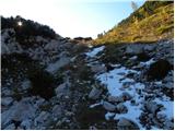 42
42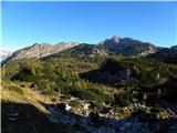 43
43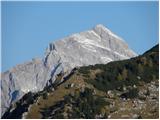 44
44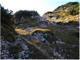 45
45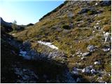 46
46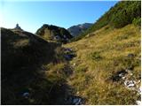 47
47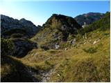 48
48 49
49 50
50 51
51 52
52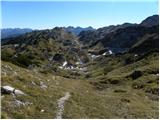 53
53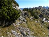 54
54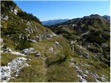 55
55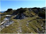 56
56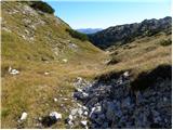 57
57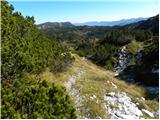 58
58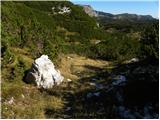 59
59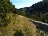 60
60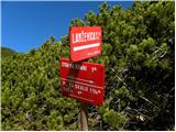 61
61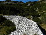 62
62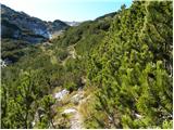 63
63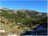 64
64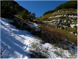 65
65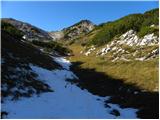 66
66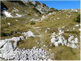 67
67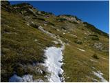 68
68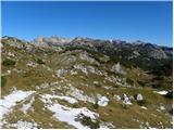 69
69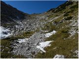 70
70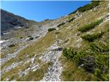 71
71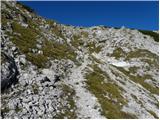 72
72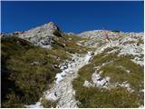 73
73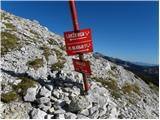 74
74 75
75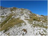 76
76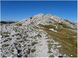 77
77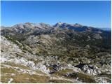 78
78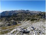 79
79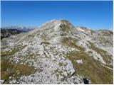 80
80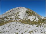 81
81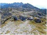 82
82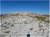 83
83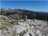 84
84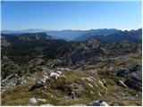 85
85
Discussion about the trip Pod Zjabci - Lanževica (via Lepa Komna)
|
| Zgembo30. 04. 2017 |
Maybe someone knows where to get the stamp?
|
|
|
|
| Zvonček1. 05. 2017 |
The stamp should be at the top. If it's no longer there, they know in Dom na Komni.
|
|
|
|
| Zgembo3. 05. 2017 |
It's not at the top, nor in the Dom na Komni. Unless it's in the hut under Bogatin, but that one hasn't opened yet.
|
|
|
|
| darinka430. 09. 2020 |
Today on this path. We intended to go along the Rapalski border but due to abundant snow we opted for this path. It's quite long from the sign Vas na Skali. Descent by the same path. Weather was really nice. Cold at the summit. No winter gear needed except gaiters.
|
|
|
To post a comment you must log in:
If you do not yet have a username, you must first
register.