Podblica - Sveti Križ above Selca (via Sleme)
Starting point: Podblica (675 m)
| Latitude/Longitude: | 46,25670°N 14,20670°E |
| |
Route name: via Sleme
Walking time: 1 h 30 min
Difficulty: easy unmarked way
Elevation gain: 185 m
Elevation difference along the route: 250 m
Map: Škofjeloško in Cerkljansko hribovje 1:50.000
Recommended equipment (summer):
Recommended equipment (winter):
Views: 723
 | 1 person like this post |
Access to starting point:
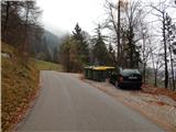
A) We drive to Kranj, and then we follow the signs for Besnica (the turn-off from the old road Ljubljana - Kranj is before the bridge over the river Sava, or after the bridge if coming from the direction of Kranj). Further on, we drive through Spodnja and Zgornja Besnica and Njivica. A little further ahead, we arrive in Nemilje; after the mentioned settlement, the road starts to ascend more steeply. When we arrive in Podblica, we follow the main road, and when we notice the recycling spot on the right, where the described path starts. Do not park at the recycling spot, because this blocks access for locals to the waste containers. Park on an appropriate place by the road lower or higher up.
B) From Železniki, we drive to Dražgoše, then continue driving towards Kropa. Next comes a traverse across the slopes of Jelovica, then we arrive at a crossroads where the road to Kranj branches sharply right (the turn-off for Kranj is only from the opposite direction). Here we continue sharply right (if the bend is too sharp, there is an arranged turning area about 50 meters ahead), then we descend to Podblica, where before the center of the settlement on the left we notice the recycling spot, where the described path starts. Do not park at the recycling spot, because this blocks access for locals to the waste containers. Park on an appropriate place by the road lower or higher up.
C) We drive to Kropa, then continue driving towards Dražgoše and Železniki. After the settlement Jamnik, we leave the road to Dražgoše and continue left towards Kranj. Next comes a descent to the settlement Podblica, where the described path starts at the recycling spot. Do not park at the recycling spot, because this blocks access for locals to the waste containers. Park on an appropriate place by the road lower or higher up.
Route description:
Few strides above the recycling spot there is a marked crossroad, from where we continue left in the direction towards sv. Mohor (right footpath to Jamnik and Peka piškotov Metka). The path ahead leads us on a cart track which ascends diagonally across ample hay meadows, and after a smaller shrine it passes into the forest. Through the forest we continue mainly ascending diagonally, then at the chapel we reach a marked junction, from where we continue right towards Lajše (left sv. Mohor, straight Selca).
The path ahead still leads on a cart track which ascends gently to moderately. A little higher we temporarily step out of the forest onto a panoramic hay meadow, then behind a small cottage which we notice on the right side, the path returns to the forest. Next follows a few minutes of ascent through the forest, then we reach another hay meadow, where the path leads along its left edge. A little higher the path turns left and past the abandoned farm Lobnikar brings us to an asphalt road, which we follow left, quickly reaching the church of sv. Jedert.
From the church we continue on the asphalt road, at the nearby crossroad we continue straight in the direction of Dražgoše. The path ahead with nice views leads past two NOB memorials, then we arrive in Dražgoše, where behind the house in front of which there is a chapel, we turn left onto a side road. The path ahead leads past a few houses, then we already arrive at the slopes of Sleme, where before the strip of forest a cart track branches left to the transmitters; we continue a further few tens of meters on the asphalt road, from it going left in the middle of the left bend. The path ahead leads on a panoramic cart track which along the ridge brings us to Sleme in a few minutes.
From the top we continue to the nearby transmitters, where the previously mentioned cart track joins from the left. We continue straight on the path which enters the forest and starts to descend gently to moderately. A little lower the path passes from the ridge to the slope, a few steps further from the forest onto an older clearcut, today mainly a grassy slope with some afforestation in the upper part. A little further we reach an asphalt road, on which we continue the ascent to the marked fork. We continue on the forest path (right private asphalt road), on which we ascend to the top of the rise, where we step out of the forest. From the place where we step out of the forest, only a few tens of steps of walking separate us to the church of Sv. Križ.
Description and pictures refer to the condition in 2017 (November).

Photos:
 1
1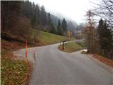 2
2 3
3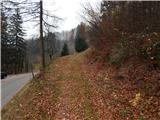 4
4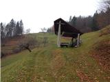 5
5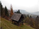 6
6 7
7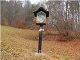 8
8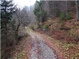 9
9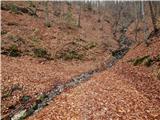 10
10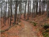 11
11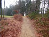 12
12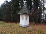 13
13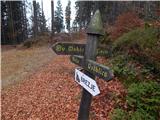 14
14 15
15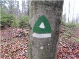 16
16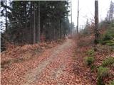 17
17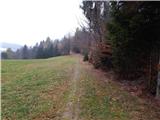 18
18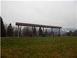 19
19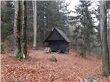 20
20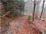 21
21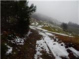 22
22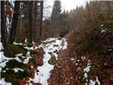 23
23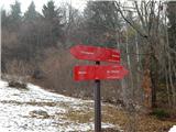 24
24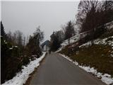 25
25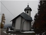 26
26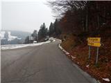 27
27 28
28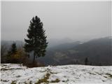 29
29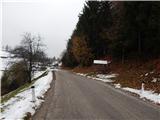 30
30 31
31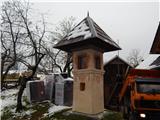 32
32 33
33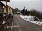 34
34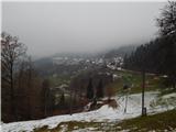 35
35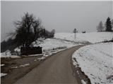 36
36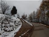 37
37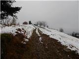 38
38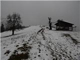 39
39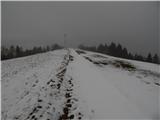 40
40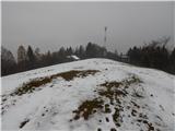 41
41 42
42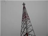 43
43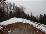 44
44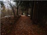 45
45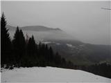 46
46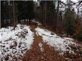 47
47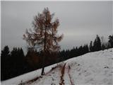 48
48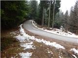 49
49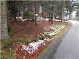 50
50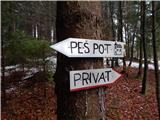 51
51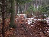 52
52 53
53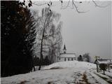 54
54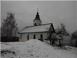 55
55 56
56
Discussion about the trip Podblica - Sveti Križ above Selca (via Sleme)
To post a comment you must log in:
If you do not yet have a username, you must first
register.