Podbrezje (Dolenja vas) - V Boštkú
Starting point: Podbrezje (Dolenja vas) (440 m)
| Latitude/Longitude: | 46,29010°N 14,27980°E |
| |
Walking time: 15 min
Difficulty: easy unmarked way
Elevation gain: 26 m
Elevation difference along the route: 40 m
Map: Karavanke - osrednji del 1:50.000
Recommended equipment (summer):
Recommended equipment (winter):
Views: 548
 | 2 people like this post |
Access to starting point:
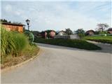
From the road Naklo - Podbrezje, in the settlement Podbrezje we turn left (from the opposite direction right) towards the hamlet Dolenja vas. The described path starts at the house with house number Podbrezje 59. In the settlement there are no designated parking spots, therefore it is best to park already somewhere by the main road, which extends the path by approximately 10 minutes.
Route description:
From the crossroad near the house with house number Podbrezje 59 we continue slightly right, and then we continue on the road to the last house, from where we continue in the forest. Through the forest, we follow the wider path, at first a little left, for some time straight, after that slightly right. A few minutes of easy walking follow and we arrive at the religious symbol V Boštkú.
From the religious symbol, we can also continue to the vantage point a few minutes away, but at the crossings we continue slightly left and follow the gently sloping path, which only in the last part descends a little more, all the way to the vantage point.
Description and pictures refer to the condition in the year 2019 (August).
Photos:
 1
1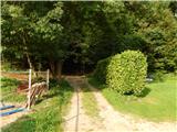 2
2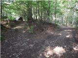 3
3 4
4 5
5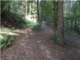 6
6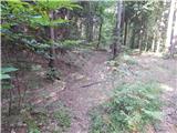 7
7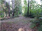 8
8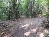 9
9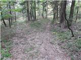 10
10 11
11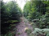 12
12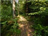 13
13 14
14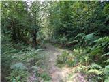 15
15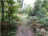 16
16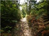 17
17 18
18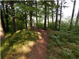 19
19 20
20
Discussion about the trip Podbrezje (Dolenja vas) - V Boštkú
To post a comment you must log in:
If you do not yet have a username, you must first
register.