Poden / Bodental - Požgani rob
Starting point: Poden / Bodental (1055 m)
| Latitude/Longitude: | 46,47910°N 14,23250°E |
| |
Walking time: 1 h 10 min
Difficulty: easy unmarked way
Elevation gain: 458 m
Elevation difference along the route: 458 m
Map: Karavanke - osrednji del 1:50.000
Recommended equipment (summer):
Recommended equipment (winter): ice axe, crampons
Views: 3.813
 | 1 person like this post |
Access to starting point:
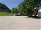
From the highway Ljubljana - Jesenice we go to the exit Ljubelj (Tržič), and then we continue driving in the direction of Celovec / Klagenfurt. After the Ljubelj tunnel, the road begins to descend, and we follow it to the junction where the road to Poden / Bodental branches off to the left. When we get to the mentioned settlement, we park on a large parking lot by the inn Sereinig. At the starting point, there is also a chapel and in winter a smaller ski slope.
Route description:
From the parking lot, we go on path number 2, which continues by the fenced garden and through a meadow in a few minutes brings us to a smaller crossroad.
From the crossroad, we continue on the left forest road, by which we soon notice a sign for path number 12. The forest road slowly starts ascending and soon passes into the forest, through which it then ascends for some time. Higher the forest gets thinner, so that a little view opens up, and the road then crosses a torrent, after which we get to the memorial to the deceased pilots. A little above the memorial, the road makes a sharp left turn, and right here we leave it and continue the ascent straight on the marked mountain path, which at a smaller wooden cottage returns to the road. We walk for some time on the road, and then signs for path number 12 direct us to the right to the nearby torrent, along which we then ascend for a short time. From the torrent the path passes onto a vegetated clearing and higher joins a worse cart track. We continue for a short time on the cart track, then the marked path turns to the right, where it temporarily flattens completely.
After a shorter traverse we arrive at a smaller indistinct valley, through which we start to ascend steeply. Higher, the path turns to the right and after a few minutes makes a left turn and only a little higher brings us to the ridge of Požgani rob.
Here we leave the marked path, which leads to Rjavca, and continue the ascent sharply to the right onto the ridge of Požgani rob. Along a less beaten footpath in less than 5 minutes we ascend to the indistinct peak of Požgani rob.

Photos:
 1
1 2
2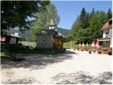 3
3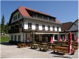 4
4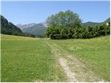 5
5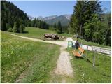 6
6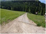 7
7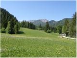 8
8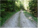 9
9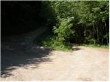 10
10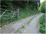 11
11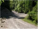 12
12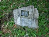 13
13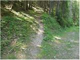 14
14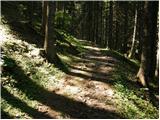 15
15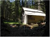 16
16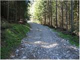 17
17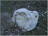 18
18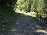 19
19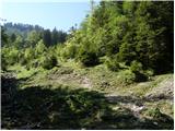 20
20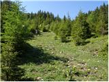 21
21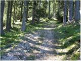 22
22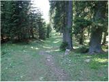 23
23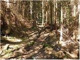 24
24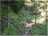 25
25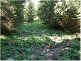 26
26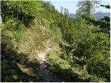 27
27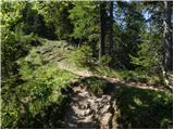 28
28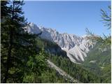 29
29 30
30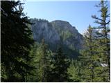 31
31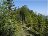 32
32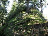 33
33 34
34
Discussion about the trip Poden / Bodental - Požgani rob
To post a comment you must log in:
If you do not yet have a username, you must first
register.