Podkanja vas / Wildenstein - Eisenkappler Hutte
Starting point: Podkanja vas / Wildenstein (511 m)
| Latitude/Longitude: | 46,53880°N 14,50900°E |
| |
Walking time: 4 h 5 min
Difficulty: easy marked way
Elevation gain: 1042 m
Elevation difference along the route: 1250 m
Map: Karavanke - osrednji del 1:50.000
Recommended equipment (summer):
Recommended equipment (winter): ice axe, crampons
Views: 410
 | 1 person like this post |
Access to starting point:
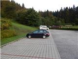
A) Via the Ljubelj border crossing we drive into Austria, then in the settlement Podljubelj / Unterloibl we turn right towards the Hofer store. When we arrive in Borovlje / Ferlach, at the intersection slightly after the railway line we turn left (to the right of the intersection is the Eurospar store), at the next intersection after some 100 metres we turn right towards Železne Kaple / Bad Eisenkappel. Towards Železna Kapla we drive to the settlement Podkanja vas / Wildenstein, where the signs for Podkanjski slap / Wildensteiner Wasserfall direct us to the right. There follows some ascent on a somewhat narrower road, then we arrive at a nicely arranged parking lot (at the starting point there are also a guesthouse and museum).
B) Via the Jezerski vrh border crossing we drive into Austria, then after Železna Kapla we continue left towards Celovec / Klagenfurt and Borovlje / Ferlach. We continue along the main road towards Borovlje, but we head to the settlement Podkanja vas / Wildenstein, where the signs for Podkanjski slap / Wildensteiner Wasserfall direct us to the left. There follows some ascent on a somewhat narrower road, then we arrive at a nicely arranged parking lot (at the starting point there are also a guesthouse and museum).
C) We drive to Podjuna, then we follow the signs for Železna Kapla / Bad Eisenkappel. After the settlement Miklavčevo / Miklauzhof, we leave the road towards Železna Kapla and continue right towards Celovec / Klagenfurt and Borovlje / Ferlach. We continue along the main road towards Borovlje, but we head to the settlement Podkanja vas / Wildenstein, where the signs for Podkanjski slap / Wildensteiner Wasserfall direct us to the left. There follows some ascent on a somewhat narrower road, then we arrive at a nicely arranged parking lot (at the starting point there are also a guesthouse and museum).
Route description:
From the starting point we continue on the wide tourist path in the direction of Podkanjski slap and Obir. Initially we ascend in a few hairpin turns, then after a short panoramic section the path enters the forest and narrows somewhat. After a few minutes of further walking, a marked path to Obir branches off to the right from the wide path, while we continue straight and after one more minute of walking arrive at the arranged viewpoint on Podkanjski slap.
From the viewpoint we return to the last junction, then continue on the marked path towards Obir. From the point where we leave the wide tourist path, we begin to ascend steeply, on the steeper sections aided by steps and occasionally wire cables (easy in dry conditions). After a few minutes the slope's steepness eases, the path turns right, first crossing a cart track, then a bit further leading us to a forest road, which we follow to the left. We walk along the road to the right bend, at the start of which a marked footpath continues straight ahead. Further on we cross the forest road several more times, along which the path occasionally runs. There follows a somewhat longer ascent through the forest, arriving at a marked junction on a small clearing.
From the junction we continue on the left path (right to Jagovčeva planina, from there possible ascent to Mali Obir or descent to Borovniško reservoir lake), which continues along a small valley, slightly higher returning to the road, which we follow left, quickly arriving at the abandoned Hofovška planina.
Above the planina we finally leave the road, continuing to ascend an increasingly steep path. Higher we reach a forested ridge, where the path from the village Reberca / Reehberg joins from the left.
We continue right on a fairly level path, which shortly ahead crosses a pasture fence, then begins to fade on the extensive pastures. Across the pasture we carefully follow the otherwise sparse markers, then, upon returning to the forest, we arrive at a marked junction where we reach a better-trodden path.
We continue left downhill in the direction of Kapelška koča / Eisenkappler Hütte (right to Ojstrc / Hochobir), which is about 15 minutes' descent away.
Description and pictures refer to the situation in 2017 (August).

Photos:
 1
1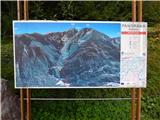 2
2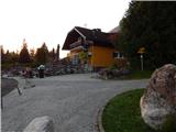 3
3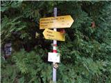 4
4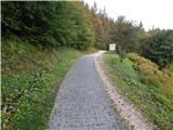 5
5 6
6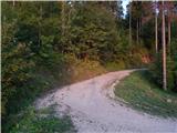 7
7 8
8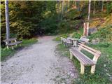 9
9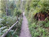 10
10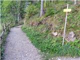 11
11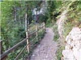 12
12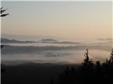 13
13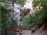 14
14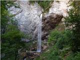 15
15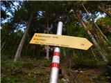 16
16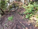 17
17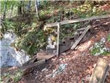 18
18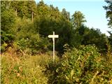 19
19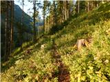 20
20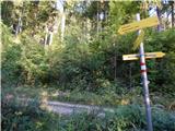 21
21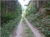 22
22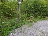 23
23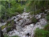 24
24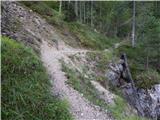 25
25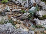 26
26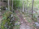 27
27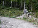 28
28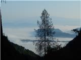 29
29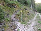 30
30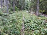 31
31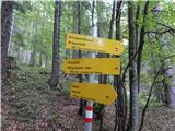 32
32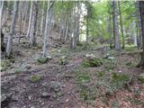 33
33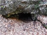 34
34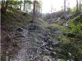 35
35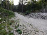 36
36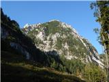 37
37 38
38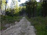 39
39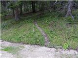 40
40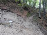 41
41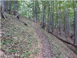 42
42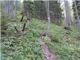 43
43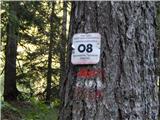 44
44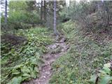 45
45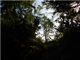 46
46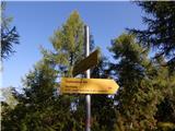 47
47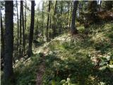 48
48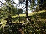 49
49 50
50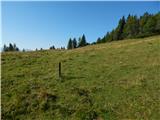 51
51 52
52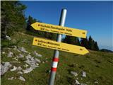 53
53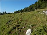 54
54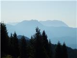 55
55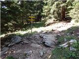 56
56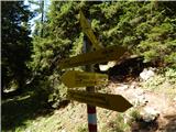 57
57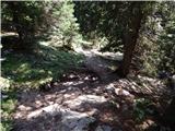 58
58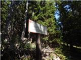 59
59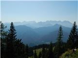 60
60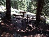 61
61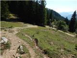 62
62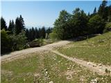 63
63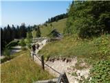 64
64 65
65
Discussion about the trip Podkanja vas / Wildenstein - Eisenkappler Hutte
To post a comment you must log in:
If you do not yet have a username, you must first
register.