Podkorita - Grmečica waterfall
Starting point: Podkorita (486 m)
| Latitude/Longitude: | 46,29864°N 14,03830°E |
| |
Walking time: 1 h
Difficulty: easy unmarked way, easy marked way
Elevation gain: 24 m
Elevation difference along the route: 30 m
Map: TNP 1:50.000
Recommended equipment (summer):
Recommended equipment (winter):
Views: 6.233
 | 1 person like this post |
Access to starting point:
From the Ljubljana - Jesenice motorway we turn onto the Lesce exit, then continue driving towards Bled and Bohinjska Bistrica. When we arrive in the municipality of Bohinj, we pay attention to the left turn-off. Just before the main road crosses the bridge over the Sava Bohinjka river, a road closed to public traffic branches off to the left, where the described path begins. There are no designated parking spaces at the starting point.
Route description:
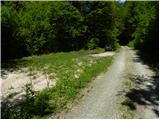
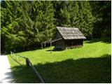
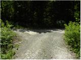
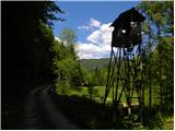
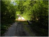
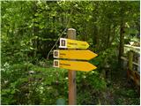
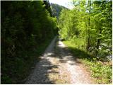
From the intersection we continue along the side road closed to public traffic, which after about 2 km of walking leads us across two consecutive streams to a small wooden hut that we notice on the left side. A little further on, that is, immediately after a small bridge, we arrive at a marked intersection, where a short road branches off to the left towards the nearby apiary, and to the right the path towards the vast meadows. At the mentioned intersection we continue straight and follow the relatively gentle road to the smelter of St. Ema.
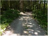
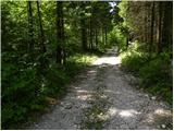
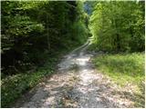
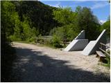
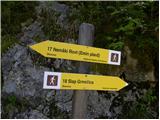
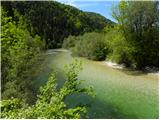
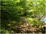
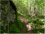
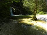
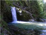
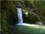
Here the path branches off to the left towards Nemški Rovt, but we continue straight and follow the road to the footbridge across the Sava Bohinjka river. At the footbridge we continue straight (right across the bridge to Nomenj) and follow the road for a short time, which soon turns into a pleasant forest path. For some time we still walk along the Sava Bohinjka, then we arrive at the confluence of Grmečica and the already mentioned river. We continue the path through the forest, where the gentle path quickly takes us to the Grmečica waterfall.

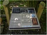
Along the route: Plavž svete Eme (500m)
Photos:
 1
 2
 3
 4
 5
 6
 7
 8
 9
 10
 11
 12
 13
 14
 15
 16
 17
 18
 19
 20
 21
 22
Discussion about the trip Podkorita - Grmečica waterfall
|
| lorina7. 09. 2020 |
Where you turn from the main road onto the gravel, there's a sign for prohibited traffic (except for landowners), so the path is slightly lengthened  . From there to the waterfall it's then just under 6 km on foot.
|
|
|
|
| Tadej1. 10. 2026 09:03:47 |
Lorina, thank you for the warning. I corrected it in the description.
|
|
|
To post a comment you must log in:
If you do not yet have a username, you must first
register.