Podkraj / Unterort - Feistritzer Spitze (on path P7)
Starting point: Podkraj / Unterort (650 m)
| Latitude/Longitude: | 46,54260°N 14,77440°E |
| |
Route name: on path P7
Walking time: 5 h 30 min
Difficulty: easy marked way
Elevation gain: 1463 m
Elevation difference along the route: 1525 m
Map: Koroška 1:50.000
Recommended equipment (summer):
Recommended equipment (winter): ice axe, crampons
Views: 91
 | 1 person like this post |
Access to starting point:
a) Via the border crossing Jezerski Vrh we drive into Austria, then after approximately 6 km beyond Železno Kaplo / Bad Eisenkappel we turn right towards Velikovec / Völkermarkt (also possible via the border crossing Ljubelj). We follow the main road towards Velikovec for 2 km, then we again turn right, this time in the direction of the settlement Pliberk / Bleiburg. Further, we drive through the Podjuna valley, then at the next larger intersection we turn right towards Pliberk. The road ahead leads through some roundabouts, and we continue to follow it in the direction of the Peca / Petzen ski area. Further, we drive through Bistrica pri Pliberku / Feistritz ob Bleiburg to the large parking lot at the bottom station of the cable car to Peca. From the border crossing Jezerski Vrh to the starting point there is approximately 40 km.
b) From Slovenj Gradec we drive to Ravne na Koroškem, then we continue driving towards the border crossing Holmec. When we drive into Austria we first drive towards Pliberk / Bleiburg, then we follow the signs for the Peca / Petzen ski area. Further, we drive through some villages, and we follow the road to the large parking lot at the bottom station of the cable car to Peca. From the border crossing Holmec to the starting point there is approximately 8 km.
Route description:
From the parking lot, we walk to the bottom station of the cable car to Peca, then turn left onto the path marked with signs for paths P3, P6, P7 and P8; just a little further ahead the path splits.
We choose the right path, marked for P3, P7 and P8. At first we still walk along the road, which after crossing the cycling track turns into a cart track that brings us to the edge of the ski slope. For a few minutes we ascend along the edge of the ski area, or below the circular-cabin cable car, then go right into the forest where the path flattens, then gradually descends to a macadam road on which we continue the ascent.
The path ahead leads along the macadam road, which further on has some intersections or junctions; we continue to follow the signs for path P7 (path P3 has meanwhile branched off left uphill). There follows some more diagonal ascent, initially also descent to the right, then the road begins to ascend in longer switchbacks, where the marked path leads via some marked shortcuts.
At an altitude of approximately 1300 metres we reach a small saddle and behind it a somewhat wider macadam road, along which we continue the diagonal ascent to the right; when later the road turns sharply left, a marked path from Globasnica / Globasnitz and Večna vas / Wackendorf joins us from the right.
Here we leave the road and continue on the footpath, which gradually begins to ascend more steeply; higher up we return to the road, which we follow to the Veška planina / Wackendorfer Alm a few minutes away.
From the mountain pasture we continue between the chapel and the hut along the marked path, which branches slightly right from the road and first ascends along a grassy slope, then through sparse coniferous forest, where we follow the blazes. Higher up, at a bend we reach a poorer road that quickly brings us to a small junction, where we go slightly right onto a cart track that takes us to the saddle south of the summit Feuersberger Spitze.
From here we continue somewhat to the right of the road, which makes one more switchback, while we ascend diagonally along the grassy slope; at the trough we rejoin the path along the road, which has already ended somewhat lower down. Here the path turns somewhat left and leads us along the right side of a small valley; higher up we cross the mentioned valley and ascend to the hunting observatory, where the path in the grass begins to fade. A steeper ascent follows in approximately eastern direction, where we follow the blazes on the rocks; when the slope flattens, the track reappears. We continue ascending along the track, which leads us through dwarf pines, and soon arrive at the pyramid marking Veška kopa; the highest point of the summit is located somewhat further ahead.
The path ahead flattens and after a few minutes brings us to a junction, where a marked path branches off right downhill towards the Luža / Luschaalm mountain pasture; a little further on, an approximately half-hour shorter path starting from the bottom station of the cable car to Peca joins us.
We continue straight ahead and with ever better views in a few minutes of ascent reach the summit of Bistriška špica.
Starting point - Veška planina 3:30, Veška planina - Veška kopa 1:35, Veška kopa - Bistriška špica 0:25.
Description refers to conditions in July 2025; photos are from July 2024 and July 2025.

Photos:
 1
1 2
2 3
3 4
4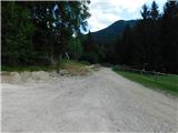 5
5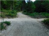 6
6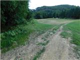 7
7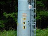 8
8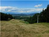 9
9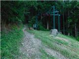 10
10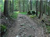 11
11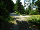 12
12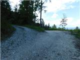 13
13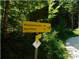 14
14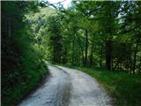 15
15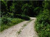 16
16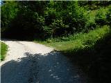 17
17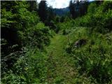 18
18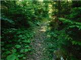 19
19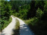 20
20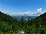 21
21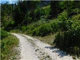 22
22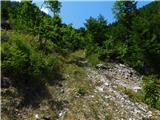 23
23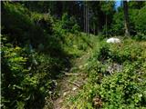 24
24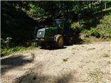 25
25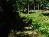 26
26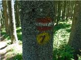 27
27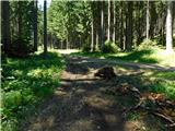 28
28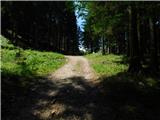 29
29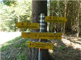 30
30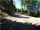 31
31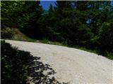 32
32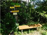 33
33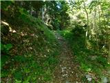 34
34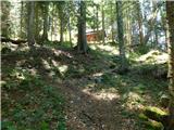 35
35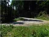 36
36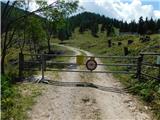 37
37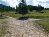 38
38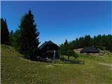 39
39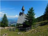 40
40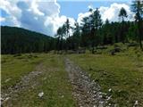 41
41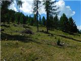 42
42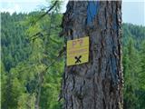 43
43 44
44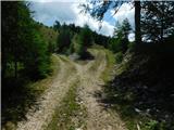 45
45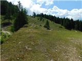 46
46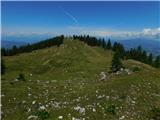 47
47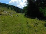 48
48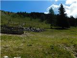 49
49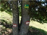 50
50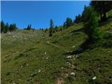 51
51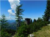 52
52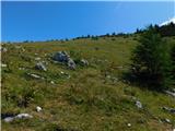 53
53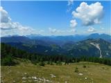 54
54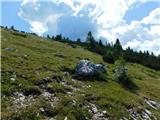 55
55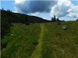 56
56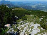 57
57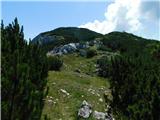 58
58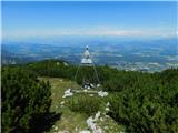 59
59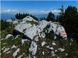 60
60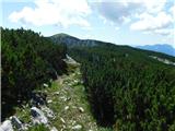 61
61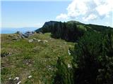 62
62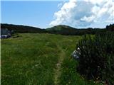 63
63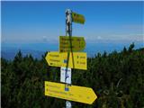 64
64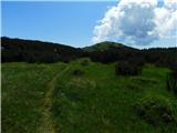 65
65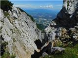 66
66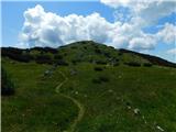 67
67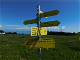 68
68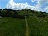 69
69 70
70 71
71
Discussion about the trip Podkraj / Unterort - Feistritzer Spitze (on path P7)
To post a comment you must log in:
If you do not yet have a username, you must first
register.