Podkraj / Unterort - Wackendorfer Alm (on path P7)
Starting point: Podkraj / Unterort (650 m)
| Latitude/Longitude: | 46,54260°N 14,77440°E |
| |
Route name: on path P7
Walking time: 3 h 30 min
Difficulty: easy marked way
Elevation gain: 918 m
Elevation difference along the route: 955 m
Map: Koroška 1:50.000
Recommended equipment (summer):
Recommended equipment (winter): ice axe, crampons
Views: 171
 | 1 person like this post |
Access to starting point:
a) Via the border crossing Jezerski Vrh we drive into Austria, and after approximately 6 km past Železna Kapla / Bad Eisenkappel we turn right towards Velikovec / Völkermarkt (also possible via the border crossing Ljubelj). We follow the main road towards Velikovec for 2 km, and then we again turn right, this time in the direction of the settlement Pliberk / Bleiburg. Further, we drive through the valley of Podjuna, and then at the next larger crossroad we turn right towards Pliberk. The road ahead leads through some roundabouts, and we follow it further in the direction of the ski area Peca / Petzen. Further, we drive through Bistrica pri Pliberku / Feistritz ob Bleiburg to a large parking lot at the bottom station of the cableway on Peca. From the border crossing Jezerski Vrh to the starting point it is approximately 40 km.
b) From Slovenj Gradec we drive to Ravne na Koroškem, and then we continue driving towards the border crossing Holmec. When we drive into Austria we first drive towards Pliberk / Bleiburg, and then we follow the signs for the ski area Peca / Petzen. Further, we drive through a few villages, and we follow the road to a large parking lot at the bottom station of the cableway on Peca. From the border crossing Holmec to the starting point it is approximately 8 km.
Route description:
From the parking lot, we walk to the bottom cableway station on Peca, then turn left onto the path marked with signs for P3, P6, P7 and P8; just a little further ahead the path splits.
We choose the right branch, marked for P3, P7 and P8. At first we still walk along the road, which after crossing the cycling track turns into a cart track that brings us to the edge of the ski slope. For a few minutes we ascend along the edge of the ski slope (or below the gondola lift), then turn right into the forest where the path flattens before gradually descending to a macadam road on which we continue the ascent.
The path ahead follows the macadam road, which has several junctions further on; we continue to follow the signs for P7 (P3 has by now already branched off left uphill). Next comes some more diagonal ascent, at first also a short descent to the right, after which the road begins to climb in longer switchbacks while the marked path takes a few marked shortcuts.
At an altitude of approximately 1300 metres we reach a small saddle and behind it a slightly wider macadam road. We continue the diagonal ascent to the right; when the road later makes a sharp left turn, the marked path from Globasnica / Globasnitz and Večna vas / Wackendorf joins from the right.
Here we leave the road and continue on the footpath, which gradually starts to climb more steeply. Higher up we return to the road and follow it to Veška planina / Wackendorfer Alm, only a few minutes away.
Description refers to conditions in July 2025; photos are from July 2024 and July 2025.

Photos:
 1
1 2
2 3
3 4
4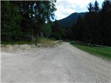 5
5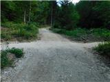 6
6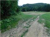 7
7 8
8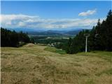 9
9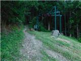 10
10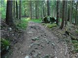 11
11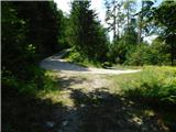 12
12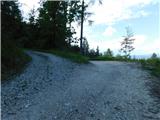 13
13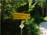 14
14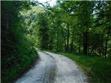 15
15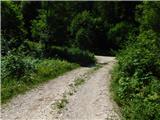 16
16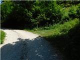 17
17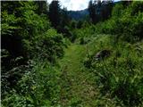 18
18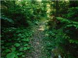 19
19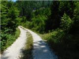 20
20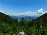 21
21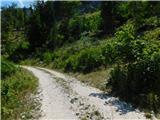 22
22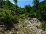 23
23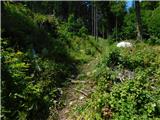 24
24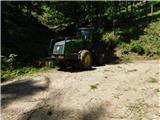 25
25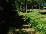 26
26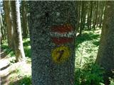 27
27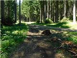 28
28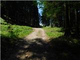 29
29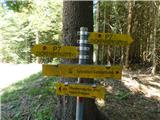 30
30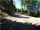 31
31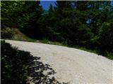 32
32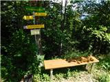 33
33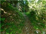 34
34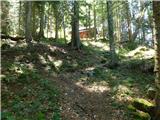 35
35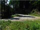 36
36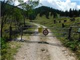 37
37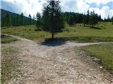 38
38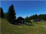 39
39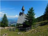 40
40
Discussion about the trip Podkraj / Unterort - Wackendorfer Alm (on path P7)
To post a comment you must log in:
If you do not yet have a username, you must first
register.