Podkraj - Furlanovo zavetišče pri Abramu
Starting point: Podkraj (798 m)
| Latitude/Longitude: | 45,86170°N 14,05960°E |
| |
Walking time: 2 h 30 min
Difficulty: easy marked way
Elevation gain: 102 m
Elevation difference along the route: 220 m
Map: Nanos 1:50.000
Recommended equipment (summer):
Recommended equipment (winter):
Views: 7.724
 | 1 person like this post |
Access to starting point:
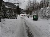
a) From the Ljubljana–Koper motorway, take the Logatec exit and continue to Logatec. From the roundabout where we reach the old road, continue towards Idrija and Tolmin. Drive along the main road towards Idrija, then at the end of the village of Kalce turn left towards Podkraj and Col. This intersection is only a few dozen meters past the turn-off for Planina and Postojna. From Kalce onwards the road becomes quite winding, but we follow it all the way to Podkraj. Here we turn left towards the village centre and after a short descent sharply left towards Nanos. When the village ends, we drive into the forest and park at a suitable spot by the road.
b) From the Nova Gorica–Razdrto expressway, take the Ajdovščina exit, then follow the road towards Col and Idrija. At the beginning of Col turn right towards Podkraj and Logatec and continue to Podkraj. Here turn right towards the village centre and drive past the church to the intersection, where we continue straight towards Nanos. When the village ends, we drive into the forest and park at a suitable spot by the road.
Route description:
From the starting point we continue along the gravel road, which after a few minutes is joined on the right by the marked path from the centre of Podkraj. We continue along the road, which past a small shrine in a gentle descent brings us to the first intersection. Here we continue straight towards Nanos (right to Bela and Sanabor). From the intersection onwards the road leads into dense forest and transitions from the slope to the plateau-like terrain of Nanos. In the forest we soon reach the second intersection, where we continue sharply right (left to Bukovje). The road then continues with a few ascents and descents to the intersection below the 905-metre peak of Soline.
Here we continue straight towards Abram (left to Trška ravan, right to Sanabor) and follow the gravel road, which gradually turns to predominantly western slopes. When the road rises slightly, it brings us to the small hamlet of Blažon, from where there is a view towards the sea and, in good visibility, also to the Dolomites. We bypass the hamlet on the right side, then the road begins to gradually descend into the forest, through which we descend to a somewhat larger intersection. Here we continue left towards Abram (right to Vipava) and follow the gently ascending road, which leads us through increasingly sparse forest, to Furlanovo zavetišče pri Abramu. We reach it after a good twenty minutes of walking.

Along the route: Blažon (913m)
Photos:
 1
1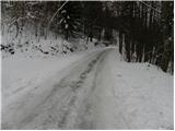 2
2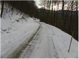 3
3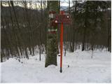 4
4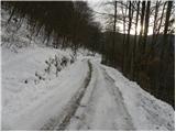 5
5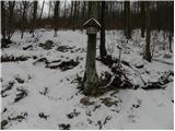 6
6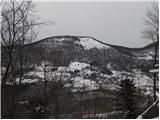 7
7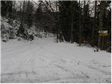 8
8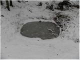 9
9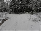 10
10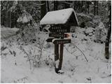 11
11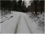 12
12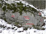 13
13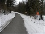 14
14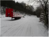 15
15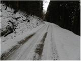 16
16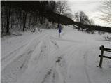 17
17 18
18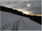 19
19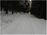 20
20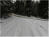 21
21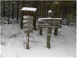 22
22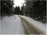 23
23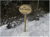 24
24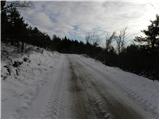 25
25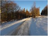 26
26 27
27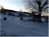 28
28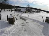 29
29 30
30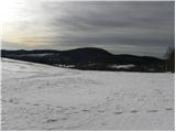 31
31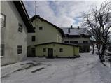 32
32
Discussion about the trip Podkraj - Furlanovo zavetišče pri Abramu
To post a comment you must log in:
If you do not yet have a username, you must first
register.