Podlanišče - Veliki vrh (Lajše)
Starting point: Podlanišče (787 m)
| Latitude/Longitude: | 46,11040°N 14,01330°E |
| |
Walking time: 40 min
Difficulty: easy marked way
Elevation gain: 94 m
Elevation difference along the route: 135 m
Map: Škofjeloško in Cerkljansko hribovje 1:50.000
Recommended equipment (summer):
Recommended equipment (winter):
Views: 3.285
 | 1 person like this post |
Access to starting point:
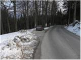
A) First, we drive to Škofja Loka, then we continue driving towards Gorenja vas and further towards Hotavlje and Sovodenj. From Sovodenj we continue driving on a serpentine road towards Cerkno, and we follow it only to the pass Kladje 787 m, beside which we park at a suitable place by the pass.
B) From the road Idrija - Tolmin we drive to Cerkno, and from there we continue driving in the direction of Škofja Loka. Further, we drive through Planina pri Cerknem, and we follow the quite winding road to the pass Kladje, beside which we park at a suitable place by the road.
Route description:
From the pass Kladje to Podlanišče we continue on the asphalt road in the direction of Lajše, Bevkov vrh and Sivka. The path first leads past houses, behind them a marked path to Bevkov vrh branches off to the left, we continue straight ahead and continue the path further on the asphalt road. The road then crosses a strip of forest, after which we arrive at a panoramic grassy slope. With a view of Škofje, Porezen, Kojca and part of the chain of the Lower Bohinj Mountains, we walk past a smaller hamlet, then the road brings us to a smaller intersection, where we continue right downhill in the direction of the shrine on Lajše.
We continue on the macadam road, which begins to descend moderately, and it completely flattens after crossing a strip of forest. Here another path to Bevkov vrh branches off to the left, the gentle road that runs across an extensive meadow quickly brings us to the next intersection, where we continue right and then after a few steps we arrive at a small church (shrine on Lajše), which is located a few tens of meters from the path.
From the shrine we continue on the slightly ascending road, which brings us to the quarry, where we continue on the left road. The road quickly rises above the quarry, then slowly turns to the right. We follow this occasionally more panoramic road all the way to the summit, which we reach after a few minutes of further walking.

Along the route: Svetišče na Lajšah (830m)
Photos:
 1
1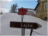 2
2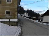 3
3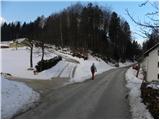 4
4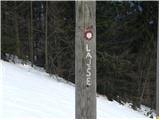 5
5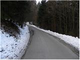 6
6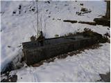 7
7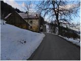 8
8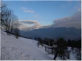 9
9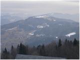 10
10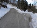 11
11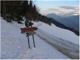 12
12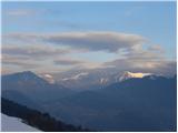 13
13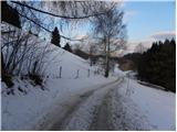 14
14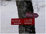 15
15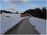 16
16 17
17 18
18 19
19 20
20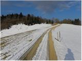 21
21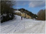 22
22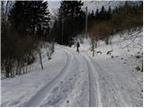 23
23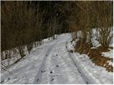 24
24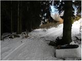 25
25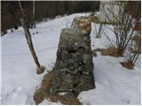 26
26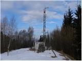 27
27 28
28
Discussion about the trip Podlanišče - Veliki vrh (Lajše)
To post a comment you must log in:
If you do not yet have a username, you must first
register.