Podljubelj / Unterloibl - Singerberg / Žingarica
Starting point: Podljubelj / Unterloibl (518 m)
| Latitude/Longitude: | 46,51190°N 14,28860°E |
| |
Walking time: 3 h
Difficulty: easy unmarked way
Elevation gain: 1071 m
Elevation difference along the route: 1085 m
Map: Karavanke - osrednji del 1:50.000
Recommended equipment (summer):
Recommended equipment (winter): ice axe, crampons
Views: 660
 | 1 person like this post |
Access to starting point:
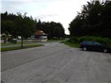
Via the Ljubelj border crossing we drive into Austria, where along the main road towards Celovec / Klagenfurt we drive to the settlement Podljubelj / Unterloibl, where towards the end of the settlement we park on the parking lot by the cemetery. The cemetery is located on the left side of the main road, and the parking lot on the right side.
Route description:
From the starting point, we continue along the main road towards Ljubelj, where soon after the settlement ends, the path leads past a larger chapel and a turn-off to the nearby quarry. We continue straight, turning left before the settlement Podgora / Unterbergen begins. The path ahead leads us along a forest road closed with a barrier, which moderately ascends the northeastern slope. During the ascent, nice views open up several times towards the surrounding areas and mountains, and after the inflection point the path switches to the northern slopes of Žingarica. A little further, a nice view also opens towards Celovec, the road flattens and brings us to a smaller crossroads, where we continue slightly left (right downhill to Žingar / Singerbauer).
After the crossroads, the path starts to ascend more noticeably again, and at several crossroads we follow the road that looks like the main one or wider.
Higher, at an altitude of approximately 1200 m, the road turns towards the west, then continues for some time in a gentle ascent. We walk a few more minutes along the road, then we reach the marked path Trnje - Žingarica.
At the mentioned spot we leave the road and continue the ascent along the marked path, which further crosses the forest road several more times, then starts to ascend steeply in numerous zigzags. Higher, the path turns slightly right and temporarily ascends even steeper. This is followed by crossing a pasture fence, where the path reaches the ridge, flattens and turns right.
This is followed by less than 5 minutes of walking and the path brings us to the summit of Žingarica; for a nice view it is worth walking a dozen or so steps further.
The description and pictures refer to the conditions in 2018 (June).

Photos:
 1
1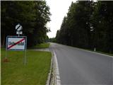 2
2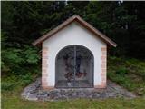 3
3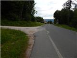 4
4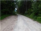 5
5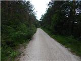 6
6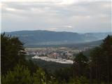 7
7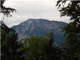 8
8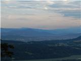 9
9 10
10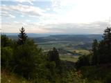 11
11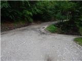 12
12 13
13 14
14 15
15 16
16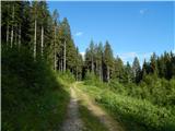 17
17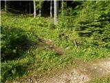 18
18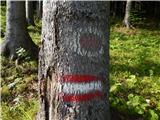 19
19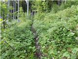 20
20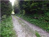 21
21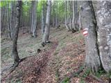 22
22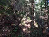 23
23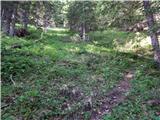 24
24 25
25 26
26 27
27 28
28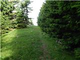 29
29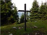 30
30 31
31
Discussion about the trip Podljubelj / Unterloibl - Singerberg / Žingarica
To post a comment you must log in:
If you do not yet have a username, you must first
register.