Podljubelj (Lajb) - Čisovec
Starting point: Podljubelj (Lajb) (770 m)
| Latitude/Longitude: | 46,41510°N 14,27010°E |
| |
Walking time: 2 h
Difficulty: easy unmarked way
Elevation gain: 649 m
Elevation difference along the route: 649 m
Map: Karavanke - osrednji del 1:50.000
Recommended equipment (summer):
Recommended equipment (winter): ice axe, crampons
Views: 1.620
 | 2 people like this post |
Access to starting point:
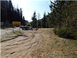
We leave the Gorenjska motorway at the Podtabor junction, and then we continue driving towards the Ljubelj border crossing. Further, we drive past the turn-off for Bistrica pri Tržiču, and higher also past the turn-off for Podljubelj. A little after the road sign 4.5 km, after the underpass we turn right and then once again right into Podljubelj. We park at an appropriate place by the sign, which marks the beginning of Podljubelj.
Route description:
From the starting point, we continue over the overpass over the main road, and after the overpass the road turns left and lightly descends past the nearby house. A little further, at the next crossroad, we notice the first signposts for Preval, Begunjščica and Dobrča, which point us on an ascending macadam road which leads us past a few more houses, and then passes into the forest. A little higher the road turns left and over a bridge crosses the stream Potočnikov graben. Further, we ascend for quite some time on the road which is closed to public traffic, and there with occasional views on surrounding mountains, we continue to the spot where blazes from the road point us to the left in the forest. Through the forest for a few minutes we ascend steeper, and then we return on the road which we follow to the nearby right turn. After the turn we again continue left on a footpath, and there we once again return on the road. This time as well on the road we don't continue long, and signs for Preval, Begunjščica and Roblekov dom point us slightly right on a relatively steep cart track. On the cart track with occasional views we ascend to the spot where we join Bornova pot, and from the crossing we continue left and then past a grazing fence, in a few minutes we ascend to the mountain pasture Preval-a, where on the left, a little higher, we notice the mountain dairy, from which a beautiful view opens up, which reaches all the way to Triglav.
We bypass the cottage on the left side, and we continue in the direction of Dobrča. The marked path towards Dobrča, on which we continue, further on the left side bypasses an unnamed peak, and when the path returns on the ridge, we reach it on the saddle between Čisovec and unnamed peak.
On the mentioned saddle marked path towards Dobrča turns right downwards, and we continue on a worse footpath which continues on a ridge (one footpath leads also left from the ridge). On the ridge we ascend steeply a few times, and a worse footpath because of the fallen trees several times entirely vanishes, but there are no problems with orientation, because we all the time stick to the ridge. When the forest gets thinner we quickly reach the panoramic peak of Čisovec.
Lajb - Preval-a 1:30, Preval-a - Čisovec 30 minutes.
Description and pictures refer to the condition in the year 2017 (January, March).

Photos:
 1
1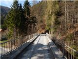 2
2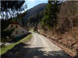 3
3 4
4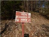 5
5 6
6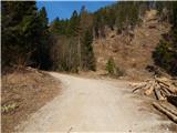 7
7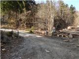 8
8 9
9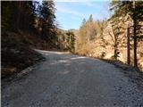 10
10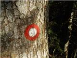 11
11 12
12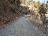 13
13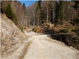 14
14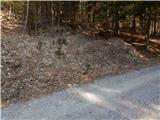 15
15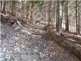 16
16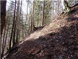 17
17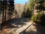 18
18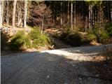 19
19 20
20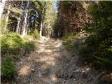 21
21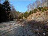 22
22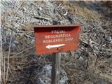 23
23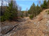 24
24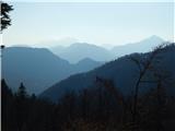 25
25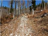 26
26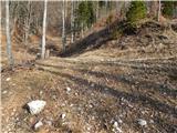 27
27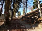 28
28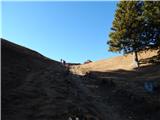 29
29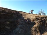 30
30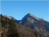 31
31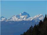 32
32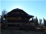 33
33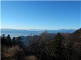 34
34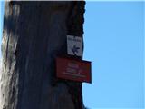 35
35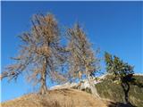 36
36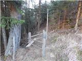 37
37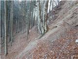 38
38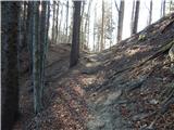 39
39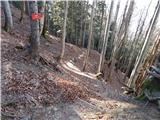 40
40 41
41 42
42 43
43 44
44 45
45 46
46 47
47 48
48 49
49
Discussion about the trip Podljubelj (Lajb) - Čisovec
To post a comment you must log in:
If you do not yet have a username, you must first
register.