Podmeja - Koča na Čemšeniški planini
Starting point: Podmeja (724 m)
| Latitude/Longitude: | 46,18610°N 15,06180°E |
| |
Walking time: 3 h 45 min
Difficulty: easy marked way
Elevation gain: 396 m
Elevation difference along the route: 715 m
Map: Posavsko hribovje - zahodni del 1:50.000
Recommended equipment (summer):
Recommended equipment (winter): ice axe, crampons
Views: 3.939
 | 1 person like this post |
Access to starting point:
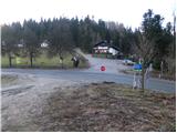
A) From the Ljubljana - Celje highway, take the Šempeter exit and continue driving towards Prebold and later Trbovlje. Then follow the serpentine road to the Podmeja mountain pass, where we park on the parking lot near the hunting lodge.
B) From Zasavje, we first drive to Trbovlje, then continue driving towards Prebold. When we reach the Podmeja mountain pass, we park on the parking lot near the hunting lodge.
Route description:
From the Podmeja mountain pass, we head west on a poorer macadam road in the direction of Sveta planina. After some 10 steps, we leave the road and continue the path on a cart track that gently ascends through the forest. Higher up, the cart track flattens completely and from an indistinct ridge gradually transitions to the shady side. Here, the marked cart track turns sharply right (poorly marked) and begins to descend noticeably. At the end of the descent, we step onto a wide cart track, along which we walk in a few steps to an asphalt road, which we follow to the right. Further ahead with a view of Kum and ascent past a few houses, we climb to a marked junction, where we continue in the direction "Sveta planina - pešpot (footpath)" (right Sveta planina access by car).
Further on, we ascend for quite some time along a gently sloping macadam road, after which we reach a smaller hamlet, where we continue sharply right and then immediately behind the house left onto an ascending cart track. The cart track first leads us across grassy hayfields, higher up it even descends slightly for a short time and then brings us into a dense forest, where it begins to ascend more steeply. Higher up, the path turns left and after some 10 steps of further walking brings us to a sign by which stands a lonely house. Behind the house, the path widens again and brings us past a trough with water onto expansive grassy slopes north of Sveta planina.
Here, the path to Javor branches off to the right, while we continue along the road to the nearby junction. At the junction, we continue right (left Sveta planina 5 minutes) and continue the path along the road that descends transversely across an initially still scenic slope. The road then enters the forest and brings us to a junction, where we continue right in the direction of Planinski dom Vrhe mountain hut. Further on, on the left side we cross the slopes of the Javor peak, then we arrive at a junction in the middle of which is the NOB monument. Here we continue straight and past the church of St. Lenart walk in a few minutes to the Planinski dom Vrhe mountain hut.
From the Planinski dom Vrhe mountain hut, we head onto a poorer road in the direction of Čemšeniška planina. We walk along the road for a short time, then turn right onto a steeper cart track that gradually enters the forest. Higher up, we also leave the wide cart track, as the signs for Čemšeniška planina direct us slightly right onto a path that almost completely flattens. A few minutes of traversing follow, then the path turns slightly right and brings us out of the forest onto a scenic slope. Here the path turns left and begins to descend across a moderately steep grassy slope. Lower down, we reach the Gunet homestead, where we also step onto the road.
When we step onto the road, we continue right and after a few steps arrive at the next junction.
Here we continue straight and continue along the road that bypasses Gunetova glava (926 m) on the left side. On the other side of the mentioned peak, we reach a scenic saddle, the road turns left here, but we walk along it only another 100 m, then the signs for Čemšeniška planina direct us sharply right onto a cart track that first crosses a strip of forest, then brings us traversely onto a scenic slope from which a nice view opens towards Krvavica. Here the cart track, along which we continue the ascent for some time, turns left, then gradually changes into a somewhat steeper footpath. Higher up, the footpath splits into two parts, and we have the choice of whether to continue along the quite steep and poorly maintained marked mountain path or along the somewhat less steep parallel "Lojzovi poti", which is newly made and marked with light blue dots. Higher up, both paths join, the path gradually flattens and brings us to the edge of a steep ridge. We continue along the right gentler side of the ridge, which then flattens and descends to the junction at the logbook box.
Here we continue straight (right downhill Vransko) and then at the next junction, which is located just a few steps ahead, straight again (right Črni vrh 1 minute). The path ahead first gently, then moderately descends towards the Koča na Čemšeniški planini hut, which we reach after 15 minutes of further walking.

Photos:
 1
1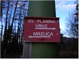 2
2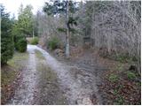 3
3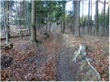 4
4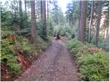 5
5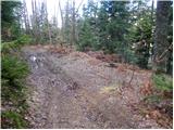 6
6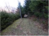 7
7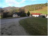 8
8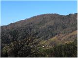 9
9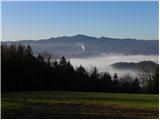 10
10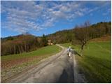 11
11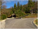 12
12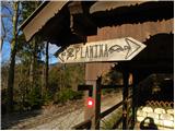 13
13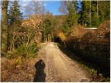 14
14 15
15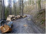 16
16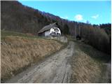 17
17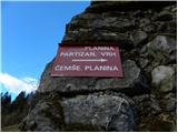 18
18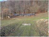 19
19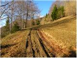 20
20 21
21 22
22 23
23 24
24 25
25 26
26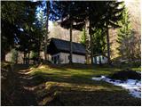 27
27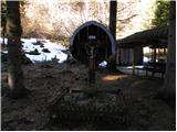 28
28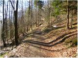 29
29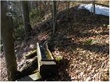 30
30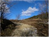 31
31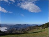 32
32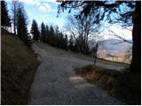 33
33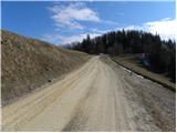 34
34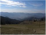 35
35 36
36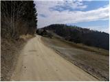 37
37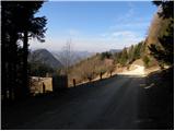 38
38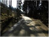 39
39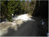 40
40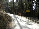 41
41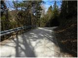 42
42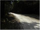 43
43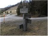 44
44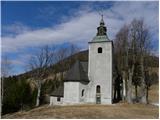 45
45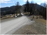 46
46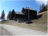 47
47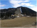 48
48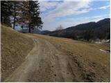 49
49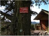 50
50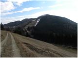 51
51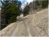 52
52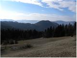 53
53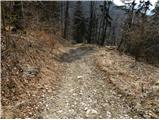 54
54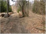 55
55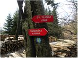 56
56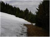 57
57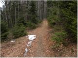 58
58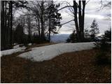 59
59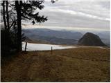 60
60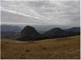 61
61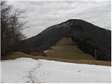 62
62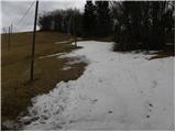 63
63 64
64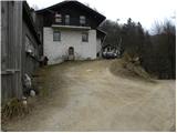 65
65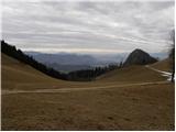 66
66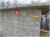 67
67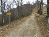 68
68 69
69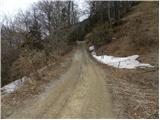 70
70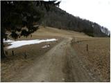 71
71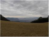 72
72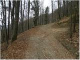 73
73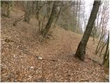 74
74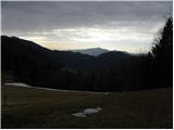 75
75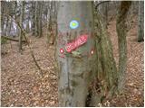 76
76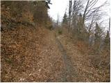 77
77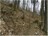 78
78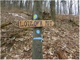 79
79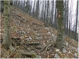 80
80 81
81 82
82 83
83 84
84 85
85 86
86 87
87 88
88 89
89 90
90 91
91 92
92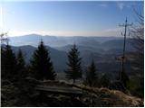 93
93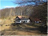 94
94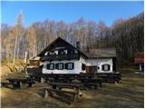 95
95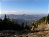 96
96
Discussion about the trip Podmeja - Koča na Čemšeniški planini
To post a comment you must log in:
If you do not yet have a username, you must first
register.