Podmeja - Planinski dom Vrhe (northern way)
Starting point: Podmeja (724 m)
| Latitude/Longitude: | 46,18610°N 15,06180°E |
| |
Route name: northern way
Walking time: 1 h 40 min
Difficulty: easy marked way
Elevation gain: 184 m
Elevation difference along the route: 215 m
Map: Posavsko hribovje - zahodni del 1:50.000
Recommended equipment (summer):
Recommended equipment (winter): ice axe, crampons
Views: 892
 | 1 person like this post |
Access to starting point:
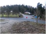
A) From the highway Ljubljana - Celje, take the exit Šempeter and continue driving towards Prebold and later Trbovlje. We then follow the serpentine road to the mountain pass Podmeja, where we park on the parking lot near the hunting lodge.
B) From Zasavje, we first drive to Trbovlje, then continue driving towards Prebold. When we reach the mountain pass Podmeja, we park on the parking lot near the hunting lodge.
Route description:
From the mountain pass Podmeja, we head towards the west on a poor macadam road in the direction of Sveta planina. After a few dozen steps, we leave the road and continue the path on a cart track, which gently ascends through the forest. Higher up, the cart track flattens entirely and from an indistinct ridge gradually passes to the shady side. Here, the marked cart track turns sharply right (poorly marked) and begins to descend noticeably. At the end of the descent, we step on a wide cart track, along which we walk in a few steps to the asphalt road, which we follow to the right. Further, with a view on Kum and ascent past a few houses, we ascend to a marked junction, where we continue right in the direction of Sveta Planina - on the road (straight Sveta Planina - on a footpath).
Next follows a traverse ascent across a panoramic slope, then the road passes into the forest. A little further, a view opens on the right towards Golava, Kamnik and Mrzlica, and the road brings us to a marked junction.
We continue slightly left on a somewhat wider asphalt road (right Reška planina, Gradišče...), which leads us diagonally across the northwestern slopes of the hill Šterbenkel, higher we go past the ski slope, then we arrive at the slopes of the peak Javor. At several junctions we follow the main road, when we reach a somewhat larger junction at the NOB monument we go right (left Sveta Planina) and quickly arrive at the church of St. Lenart on Vrhe.
A few dozen meters further is also the mountain hut Planinski dom Vrhe.
The description refers to the condition in September 2020, and the pictures are from various periods.

Photos:
 1
1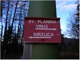 2
2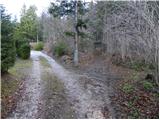 3
3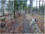 4
4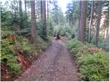 5
5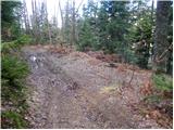 6
6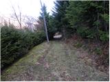 7
7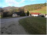 8
8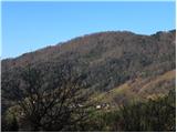 9
9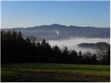 10
10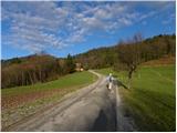 11
11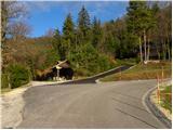 12
12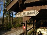 13
13 14
14 15
15 16
16 17
17 18
18 19
19 20
20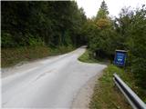 21
21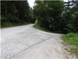 22
22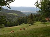 23
23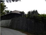 24
24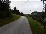 25
25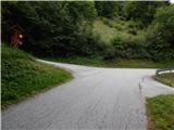 26
26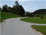 27
27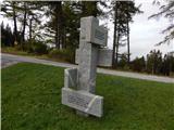 28
28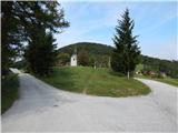 29
29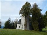 30
30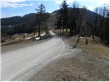 31
31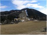 32
32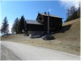 33
33
Discussion about the trip Podmeja - Planinski dom Vrhe (northern way)
To post a comment you must log in:
If you do not yet have a username, you must first
register.