Podpeč - Grmada on Mala gora
Starting point: Podpeč (467 m)
| Latitude/Longitude: | 45,83990°N 14,68550°E |
| |
Walking time: 1 h 35 min
Difficulty: easy unmarked way
Elevation gain: 420 m
Elevation difference along the route: 425 m
Map:
Recommended equipment (summer):
Recommended equipment (winter): crampons
Views: 4.223
 | 1 person like this post |
Access to starting point:
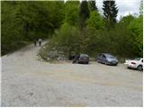
A) From highway Ljubljana - Novo Mesto we go to the exit Grosuplje (from Ljubljana direction possible also to the exit Cikava), and then we continue driving towards the center of Grosuplje. From Grosuplje we continue driving in the direction of Veliko Mlačevo, Mala and Velika Račna and Videm. From Veliko Mlačevo we continue right (straight Lobček and Luče), and then we continue driving towards Videm. In Videm we join the road from Rašica, and we follow it left (towards the south) and we drive to the turn-off of the road towards the village Podpeč. In Podpeč we continue right and through the village we drive another good 100 m, then after one of the residential houses we turn sharply left towards the nearby church of St. Martin, by which we park on a macadam parking lot.
B) From the road Ljubljana - Kočevje at settlement Rašica we turn left (from the direction Kočevje right) in the direction of Ponikve, Predstrug and Videm. When we get to Predstrug, we reach Dobrepoljska valley, and we drive through Videm to the turn-off of the road towards the village Podpeč. In Podpeč we continue right and through the village we drive another good 100 m, then after one of the residential houses we turn sharply left towards the nearby church of St. Martin, by which we park on a macadam parking lot.
Route description:
From the parking lot, we go on a relatively steep macadam road, on which we walk only a few steps, because then blazes lead left into the forest (by the path, we will notice signs "KV" which marks Kamen vrh). For some time we moderately ascend through the forest on a well-marked path, and then we reach the forest road which we follow to the left (straight upwards footpath to Kamen vrh).
We continue on a relatively gently sloping macadam road, and after good 10 minutes of additional walking, it splits into two parts. We choose the right road, and a few meters further it crosses the marked path Podgora - Kamen vrh.
We continue on the macadam road which is gently to moderately ascending towards the left, and higher it temporarily turns sharply right and brings us to a crossroad.
From the crossroad, we continue on the left road (the right road leads towards Kamen vrh), which continues diagonally ascending through the forest. Higher, the path temporarily leads across a panoramic slope, from where a beautiful view opens up towards Dobrepolje and Suha krajina. Further, the road returns into the forest, and we walk on it to the smaller left bend, where we reach another marked path which leads towards the top of Grmada.
At the mentioned spot, we leave the road and continue the ascent on a marked or parallel better beaten unmarked path. Both paths after a few minutes of ascent join and bring us to the Koča na Grmadi nad Ortnekom, from which a beautiful view opens up.
The peak of Grmada is located just a few dozen steps further.

Photos:
 1
1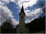 2
2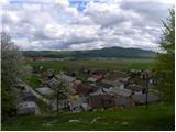 3
3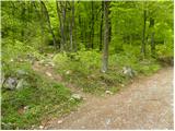 4
4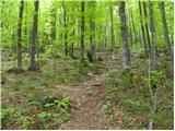 5
5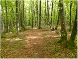 6
6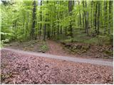 7
7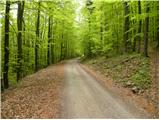 8
8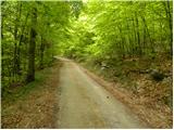 9
9 10
10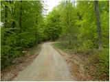 11
11 12
12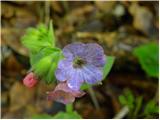 13
13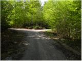 14
14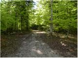 15
15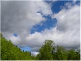 16
16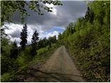 17
17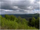 18
18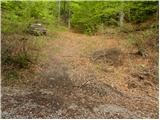 19
19 20
20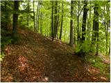 21
21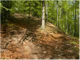 22
22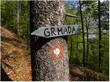 23
23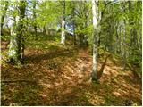 24
24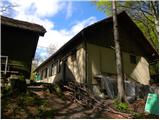 25
25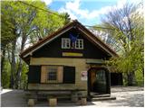 26
26 27
27
Discussion about the trip Podpeč - Grmada on Mala gora
To post a comment you must log in:
If you do not yet have a username, you must first
register.