Podsreda - Svete gore (mimo Gradu Podsreda)
Starting point: Podsreda (246 m)
| Latitude/Longitude: | 46,03999°N 15,58968°E |
| |
Route name: mimo Gradu Podsreda
Walking time: 3 h 10 min
Difficulty: easy marked way
Elevation gain: 281 m
Elevation difference along the route: 425 m
Map:
Recommended equipment (summer):
Recommended equipment (winter): crampons
Views: 15
 | 1 person like this post |
Access to starting point:
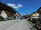
Drive to the center of the Podsreda settlement, where we park at one of the parking lots in the town center. We can also park on the outskirts of the settlement near the cemetery, sports ground, or fire station.
Route description:
From the center of Podsreda, follow the signs to Podsreda Castle, where you carefully cross the main road behind the NOB monument, then continue along the side road heading south. A gentle descent follows past a few houses, then the road forks, and we choose the slightly right road, which is marked for Podsreda Castle (left to Levstik Mill).
A little further on, before the nearby house, leave the road slightly to the right onto a cart track that climbs parallel to the road and transversely above the aforementioned house. On this section, a nice view opens towards Stara sveti gora from the path, then the path enters the forest, where we follow the well-maintained Castle Trail. In the lower part of the trail, it leads over a few wooden bridges, followed by fairly frequent ascents on stairs. Higher up, the path, lined with numerous information boards, levels out temporarily, then mostly continues on a cart track that ascends transversely through the forest to the left. When quite close to the castle, we reach a small valley where the castle pond is located, and a little further the path forks.
Continue straight (sharply right leads to Florjanova Chapel and from there to Podsreda Castle or to the Shelter in Pečice) and then ascend along the fence to Podsreda Castle.
Bypass the castle on the right side, above the castle reach an asphalt road and follow it left towards Veliki vrh and Svete gore.
Continue the ascent on the asphalt road, which leads past two parking lots, then climb through the forest to a marked junction, where leave the asphalt road towards Pišece and continue left on the gravel road marked for Svete gore (right to Veliki vrh and the monument to the Slovenian tolar).
A longer traverse of mostly shady slopes of Orlica follows, where the path continues with some ascents and descents; after the Forest Reserve Vranske pečine, after a short scenic section, another path from the valley joins from the left, specifically from the eastern part of Podsreda.
Continue slightly right and follow the gravel road, which traverses the slopes eastward for some time, then turns right and heads south. Here the path leads past a wild garlic patch, then continues with occasional views to the intersection and junction at Tabla, where continue on the left road (here a somewhat overgrown path from Osredka pri Podsredi joins from the right).
At the junction there is also an information board Bukovi gozdovi Orlice, which we bypass on the left side, then continue on the gravel road heading northeast. Continue through the forest for some time, then at the first or last house in the village of Zagaj reach the asphalt road, which we follow.
The path ahead offers nice views of Veliki Špiček; in the hamlet Vrhovnica, another marked path from Bizeljsko joins from the right.
Continue straight, and also at the next intersection go straight, then through the forest to the pass of Svete Gore, where we join the path from the direction of Bistrica ob Sotli and Bizeljska vas pass.
Here go slightly left, then ascend to the summit of Svete gore left on the footpath or straight on the steep road. In both cases, it is a little over five minutes to the top; it is definitely worth making a circular route.
Podsreda - Podsreda Castle 0:40, Podsreda Castle - junction past Podsreda Castle 0:10, junction past Podsreda Castle - junction east of Vranske pečine 0:45, junction east of Vranske pečine - Tabla 0:35, Tabla - Vrhovnica 0:30, Vrhovnica - Svete Gore pass 0:20, Svete Gore pass - Svete gore 0:10.
Description and photos refer to the condition in March 2026.

Along the route: Podsreda castle (475m), Razpotje za Gradom Podsreda (524m), Gozdni rezervat Vranske pečine (515m), Razpotje vzhodno od Vranskih pečin (510m), Tabla (500m), Vrhovnica (473m), Preval Svete Gore (455m)
Photos:
 1
1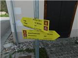 2
2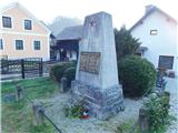 3
3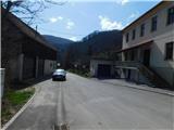 4
4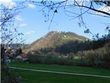 5
5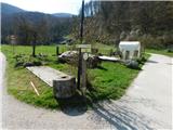 6
6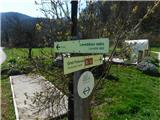 7
7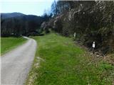 8
8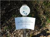 9
9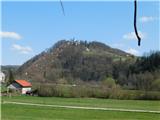 10
10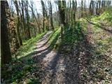 11
11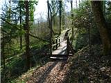 12
12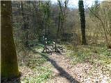 13
13 14
14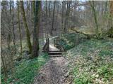 15
15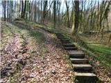 16
16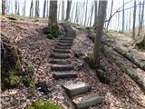 17
17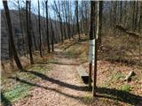 18
18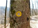 19
19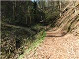 20
20 21
21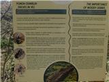 22
22 23
23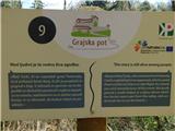 24
24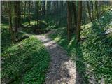 25
25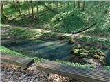 26
26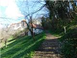 27
27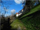 28
28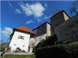 29
29 30
30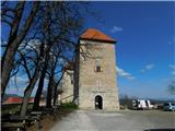 31
31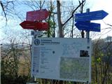 32
32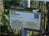 33
33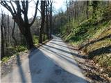 34
34 35
35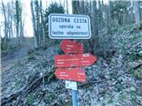 36
36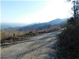 37
37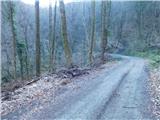 38
38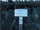 39
39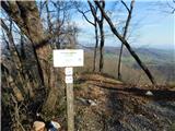 40
40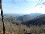 41
41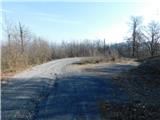 42
42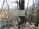 43
43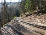 44
44 45
45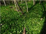 46
46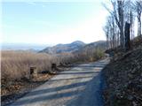 47
47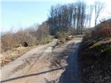 48
48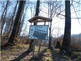 49
49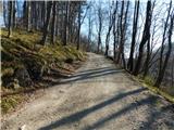 50
50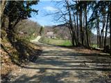 51
51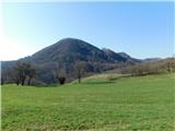 52
52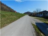 53
53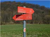 54
54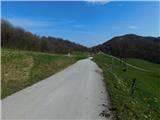 55
55 56
56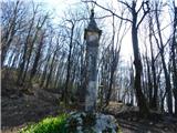 57
57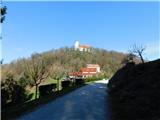 58
58 59
59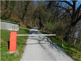 60
60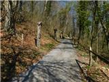 61
61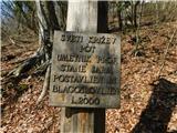 62
62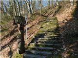 63
63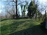 64
64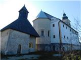 65
65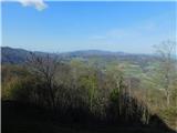 66
66
Discussion about the trip Podsreda - Svete gore (mimo Gradu Podsreda)
To post a comment you must log in:
If you do not yet have a username, you must first
register.