Podvolovljek (Petkov graben) - Lepenatka
Starting point: Podvolovljek (Petkov graben) (715 m)
| Latitude/Longitude: | 46,30410°N 14,70260°E |
| |
Walking time: 2 h 15 min
Difficulty: easy unmarked way, easy marked way
Elevation gain: 710 m
Elevation difference along the route: 720 m
Map: Kamniške in Savinjske Alpe 1:50.000
Recommended equipment (summer):
Recommended equipment (winter): ice axe, crampons
Views: 3.630
 | 1 person like this post |
Access to starting point:
A) First, we drive to Kamnik, and then we continue driving in the direction of the Črnivec pass. Just a few hundred meters before the mentioned pass we notice signs for Kranjski Rak, which direct us sharply left onto a narrow and initially quite steep road. The road levels out higher up and then brings us to the Volovljek pass, from where we start descending towards Podvolovljek. After we cross Petkov graben, we will notice the 8 km road sign on the right, and on the left side of the road appropriate space for parking.
B) From Gornji Grad we drive towards Kamnik, then just a few hundred meters after the Črnivec pass we continue right in the direction of Kranjski Rak. Further, we follow the above description.
C) From Savinjska dolina we first drive to Luče, and then we continue driving towards Kamnik. When the road starts ascending steeper towards the Volovljek pass, we pay attention to the road signs. When we get to the 8 km road sign, we park in an appropriate place by the road.
Route description:
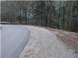
At the 8 km road sign, a forest road branches off from the main road towards the east, on which we start our path. First, we ascend diagonally along the road that leads us along the slope of the hill Ker (895 m). On the section where the road makes a longer right bend, a temporary view opens up towards Raduha, Mali Rogatec and Kunšperski vrh. At some junctions or intersections we continue on the "main" road, from which beautiful views more and more frequently open up on the peaks of the Dleskovška planota. Higher, at the intersection of two more "equivalent" roads we continue left, from the mentioned intersection we walk along the road to the first branch-off of a cart track to the right. The cart track turns sharply right from the road, and we continue on it for a few minutes with a diagonal ascent to the right, then we join the marked path Kranjska reber - Lepenatka, which we follow to the left.
For a short time we still continue on the cart track, then we go slightly right onto the marked footpath. The path immediately starts to ascend steeply, soon it also turns a bit to the right, where it ascends diagonally across a steeper slope. In the continuation, the path ascends steeply, occasionally it also leads us over some shorter exposed section, where greater caution is needed especially in wet conditions and snow. Higher up the slope gradually flattens, and the path turns right and brings us to the ridge east of Kunšperski vrh (also Brezovec).
When we reach the ridge we continue right (left to Kunšperski vrh, 5 minutes of easier pathless terrain) along the marked path, which continues along the occasionally scenic ridge. In the continuation, we ascend gently to moderately along or slightly left of the ridge. Higher up the path leads us over a pasture fence, behind which we step onto the summit grassy slopes of Lepenatka. A few minutes of moderate ascent follow along the path, from which beautiful views open up reaching from nearby Veliki Rogatec, across Raduha and Olševa, to the highest peaks of the Kamniško Savinjskih Alp, and we already reach the grassy summit of Lepenatka.
Description and pictures refer to the condition in 2015 (December).

Photos:
 1
1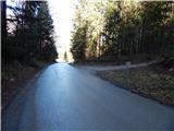 2
2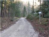 3
3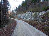 4
4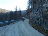 5
5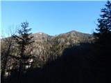 6
6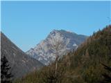 7
7 8
8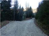 9
9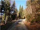 10
10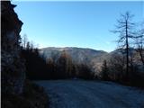 11
11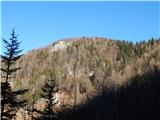 12
12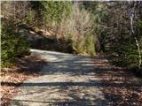 13
13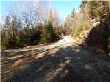 14
14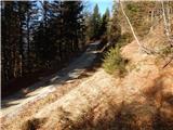 15
15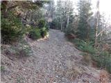 16
16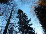 17
17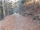 18
18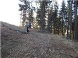 19
19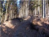 20
20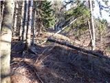 21
21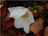 22
22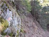 23
23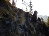 24
24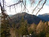 25
25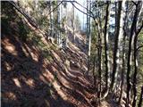 26
26 27
27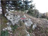 28
28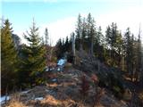 29
29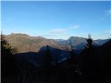 30
30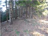 31
31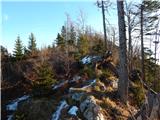 32
32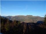 33
33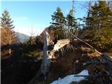 34
34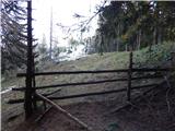 35
35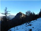 36
36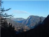 37
37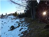 38
38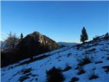 39
39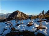 40
40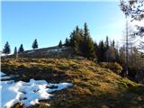 41
41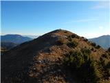 42
42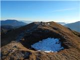 43
43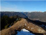 44
44
Discussion about the trip Podvolovljek (Petkov graben) - Lepenatka
To post a comment you must log in:
If you do not yet have a username, you must first
register.