Podvolovljek (Petkov graben) - Mali Rogatec (Mali Rogac)
Starting point: Podvolovljek (Petkov graben) (715 m)
| Latitude/Longitude: | 46,30410°N 14,70260°E |
| |
Walking time: 1 h 55 min
Difficulty: easy unmarked way, difficult pathless terrain
Elevation gain: 513 m
Elevation difference along the route: 513 m
Map: Kamniške in Savinjske Alpe 1:50.000
Recommended equipment (summer):
Recommended equipment (winter): ice axe, crampons
Views: 1.210
 | 1 person like this post |
Access to starting point:
A) First, we drive to Kamnik, and then we continue driving in the direction of the mountain pass Črnivec. Only a few 100 m before the mentioned mountain pass we notice signs for Kranjski Rak, which point us sharply left onto a narrow and at first also quite steep road. The road flattens higher up and then brings us to the mountain pass Volovljek, from where we start descending towards Podvolovljek. After we cross Petkov graben, we will notice on the right the road sign 8 km, and on the left side of the road appropriate space for parking.
B) From Gornji Grad we drive towards Kamnik, then only a few 100 m after the mountain pass Črnivec we continue right in the direction of Kranjski Rak. Further, we follow the description above.
C) From Savinjska dolina we first drive to Luč, and then we continue driving towards Kamnik. When the road starts ascending steeper towards the mountain pass Volovljek, we pay attention to the road signs. When we get to the road sign 8 km, we park at an appropriate place by the road.
Route description:
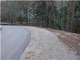
At the road sign 8 km a forest road branches off from the main road towards the east, on which we start our hike. First, we ascend transversely up the road, which leads us along the slope of the hill Ker (895 m). On the part where the road makes a longer right turn, temporarily some views open up towards Raduha, Mali Rogatec and Kunšperski vrh. At some forks or intersections we continue on the "main" road, from which beautiful views more and more frequently open up on the peaks of the Dleskovška planota. Higher, at the intersection of two more "equivalent" roads we continue left, from the mentioned intersection we walk along the road to a smaller saddle between Mali Rogatec on the left and Kunšperski vrh on the right.
On the mentioned saddle we leave the road and continue left on pathless terrain. From the spot where we leave the road we stick to the ridge or ascend a little left of it. Higher the route steeply ascends and quickly brings us over a short jump to the lesser-known peak.
There is approximately 10 minutes of pathless terrain.
Description and pictures refer to the condition in the year 2015 (December).

Photos:
 1
1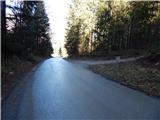 2
2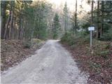 3
3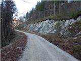 4
4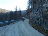 5
5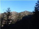 6
6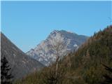 7
7 8
8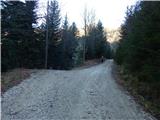 9
9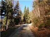 10
10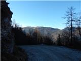 11
11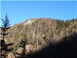 12
12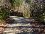 13
13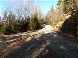 14
14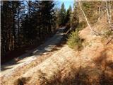 15
15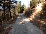 16
16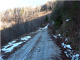 17
17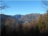 18
18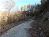 19
19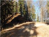 20
20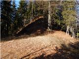 21
21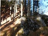 22
22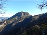 23
23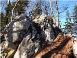 24
24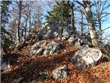 25
25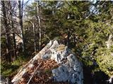 26
26 27
27
Discussion about the trip Podvolovljek (Petkov graben) - Mali Rogatec (Mali Rogac)
To post a comment you must log in:
If you do not yet have a username, you must first
register.