Starting point: Polhov Gradec (365 m)
| Latitude/Longitude: | 46,06130°N 14,31320°E |
| |
Walking time: 1 h 45 min
Difficulty: easy marked way
Elevation gain: 364 m
Elevation difference along the route: 415 m
Map: Ljubljana - okolica 1:50.000
Recommended equipment (summer):
Recommended equipment (winter):
Views: 10.063
 | 1 person like this post |
Access to starting point:
From Dobrova or Horjul we drive to Polhov Gradec, and there at the crossroad at the bus stop we continue slightly left in the direction of Gorenja vas. From the bus stop, we drive for approximately 300 meters and then at the smaller crossroad before the fire station we go left and we continue driving to the nearby chapel.
Route description:
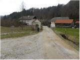
From the chapel we continue on a marked road which over a bridge brings us to a hamlet with few houses.
Among houses we notice a cart track which ascends steeply, and then it quickly brings us to the spot, where blazes point us to the left on partly overgrown footpath. Higher, we return on a cart track and further we follow it to the spot, where it brings us out of the forest. We continue by the edge of the forest and after few minutes of walking, we find ourselves on a wide cart track which past the transmitter brings us to a village. At first or last house we continue slightly left and on the road we descend to the next houses, and there at the power line pole we continue right on a wide cart track. After few minutes of easy walking we get to other part of the village, where we again step on an asphalt road, and after a short descent it brings us to the marked crossroad. We continue right in the direction of Koreno and Ključ, on still asphalt road, and at the "last" house it also ends.
Right from the house we notice a cart track on which we continue an ascent through the forest. The path through the forest leads us past numerous smaller crossings, but even though blazes are occasionally quite rare and old, they are placed on the right spots, so with the orientation there aren't any bigger problems. Higher, we cross panoramic grassy slope, and then the path returns into the forest, where it brings us to a smaller log cabin. Here we go right and we continue the ascent on a forest path, which passes on the ridge of Visoki hrib. After few minutes of additional walking, we get to a marker, where the path splits into two parts. We continue on the right upper path (left path bypasses the peak Visoki hrib) on which in few minutes of additional walking, we ascend on the already mentioned peak.
From the top, we continue on a marked path, which already after few steps joins the cart track which bypasses the peak Visoki hrib. We continue on a gentle cart track which quickly brings us out of the forest, where in front of us we notice a lonely cottage. At the cottage, we join the path from the saddle Prosca, and we continue right in the direction of Koreno.
We continue on a moderately steep macadam road, and higher it brings us to a marked crossing, where also the steep path from the saddle Prosca joins. We continue right on an asphalt road, and over partly panoramic slopes in next few minutes it brings us to the farm with open doors pr'Lenart. From here we continue straight in the direction of "Razglednik" and we continue the ascent on narrow and more and more panoramic road, and it quickly brings us to the church of St. Mohor and Fortunat. Further, we continue past a cross on a panoramic grassy ridge, on which in a few dozen steps of additional walking, we ascend to the inscription box on the top of Koreno.

Photos:
 1
1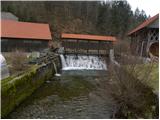 2
2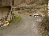 3
3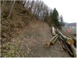 4
4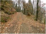 5
5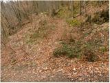 6
6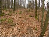 7
7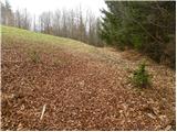 8
8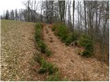 9
9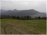 10
10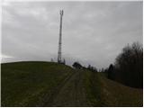 11
11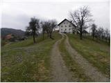 12
12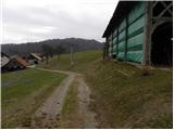 13
13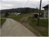 14
14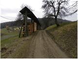 15
15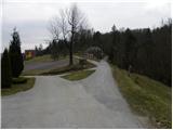 16
16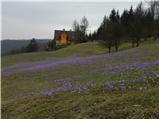 17
17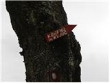 18
18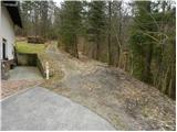 19
19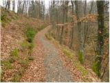 20
20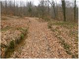 21
21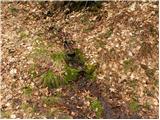 22
22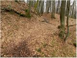 23
23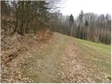 24
24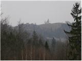 25
25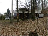 26
26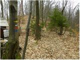 27
27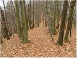 28
28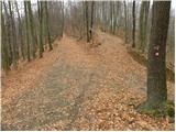 29
29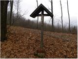 30
30 31
31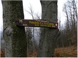 32
32 33
33 34
34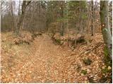 35
35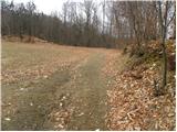 36
36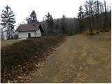 37
37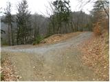 38
38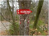 39
39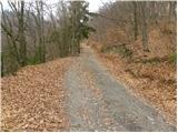 40
40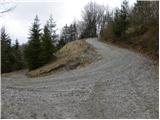 41
41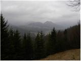 42
42 43
43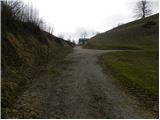 44
44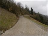 45
45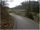 46
46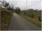 47
47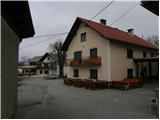 48
48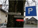 49
49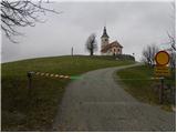 50
50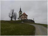 51
51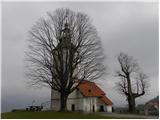 52
52 53
53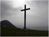 54
54 55
55
Discussion about the trip Polhov Gradec - Koreno
|
| colinbrooks15. 08. 2016 |
Above Skofije the markation on the path is often bad, and unless you are very careful and have gps it is easy to go the wrong way in the forest. Sadly, although on the day I was there you could get to the church at Koreno, the farmer has erected fences preventing open access to the land including the cross. As shown in the picture above there is also sometimes a barrier across the road so that you cannot even get to the church. Although it is a tourist farm, it seems he really wants the place just for himself!
|
|
|
|
| motorist198512. 04. 2025 18:43:50 |
Information from a local in the village is that the path from here is officially closed. The reason is supposed to be disturbance by motorcyclists.
|
|
|
To post a comment you must log in:
If you do not yet have a username, you must first
register.