Polhov Gradec - Kucelj above Polhov Gradec (via Ravnek)
Starting point: Polhov Gradec (365 m)
| Latitude/Longitude: | 46,06500°N 14,31670°E |
| |
Route name: via Ravnek
Walking time: 1 h
Difficulty: easy unmarked way
Elevation gain: 340 m
Elevation difference along the route: 340 m
Map: Ljubljana - okolica 1:50.000
Recommended equipment (summer):
Recommended equipment (winter):
Views: 2.449
 | 2 people like this post |
Access to starting point:
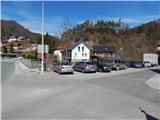
From Dobrova, Horjul, Gorenja vas or Črni Vrh we drive to Polhov Gradec, more precisely to the intersection next to the main bus station in Polhov Gradec. We park at a suitable place near the station, best on the parking lot by the bridge over the river Božna.
Route description:
From the starting point we continue for a short time along the main road in the direction of Ljubljana, then behind the inn Gostilna pri Pratkarju we notice mountain signposts for Grmada, Belica, Katarina and Tošč, which direct us to the left, onto the path that continues along the brick fence. After a short ascent we step onto an asphalt road and follow it to the right, but we walk only a few steps along it, as the blazes then lead us to the left onto an initially still quite wide path. The path, from which a nice view opens up on Polhov Gradec and St. Lovrenc, then enters the forest and ascends mostly transversely for some time. Higher we cross the bed of Frjetov graben, then in a few steps we ascend to a meadow, where the path leads along a wooden fence. The path across the meadow quickly brings us to a macadam road, which we follow to the right, and in a minute or two of further walking we arrive at the mountain hut Planinski dom na Ravneku.
We continue along the road for a short time further, then the marked path crosses it several times. Higher we return to the road, which brings us to the hamlet Ravnek, where behind the last house we arrive at a small intersection, where we continue slightly to the right (slightly to the left sv. Uršula).
Just a few dozen steps further the road splits again, and we again continue slightly to the right (slightly to the left marked path to Grmada). We continue the ascent along an unmarked cart track, from which already after a few meters two cart tracks branch off to the right. The first cart track is more grassy, the second one, along which we continue, more stony. The stones under our feet are soon replaced by soil, and the cart track brings us in a few minutes to a sort of ridge, where we reach the marked path Dvor - Grmada and follow it to the right in the direction of Dvor.
The flat path then leads us past a hunting observatory, and before it enters the forest and starts descending, we leave it and continue slightly to the right, to the place where a nice view opens up.
Even before we step into the forest, it is worth stopping for a moment and looking around, as the view extends from Blegoš to the Julian Alps and of course to the nearby Grmada. When we step into the forest (here on the left side we notice another cart track - in the description unmarked path from Dvor), the path moderately ascends through a partly pine thicket, then the forest thins out and we already step onto the summit of Kuclja, from where a nice view opens up on part of the Kamnik Savinja Alps.
If we want some more view to the south and west then from the summit we continue along a small path, which starts to descend lightly to the south, along it in a minute or two we arrive at a nice vantage point, where there is also a small bench.
Description and pictures refer to the condition in 2015 (March).

Photos:
 1
1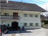 2
2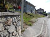 3
3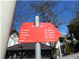 4
4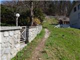 5
5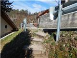 6
6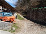 7
7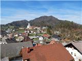 8
8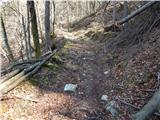 9
9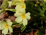 10
10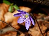 11
11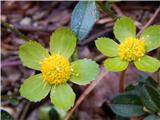 12
12 13
13 14
14 15
15 16
16 17
17 18
18 19
19 20
20 21
21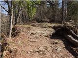 22
22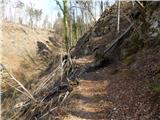 23
23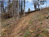 24
24 25
25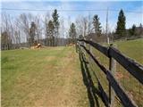 26
26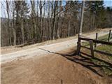 27
27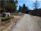 28
28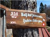 29
29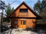 30
30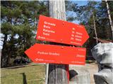 31
31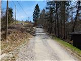 32
32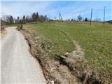 33
33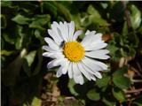 34
34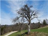 35
35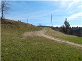 36
36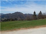 37
37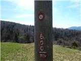 38
38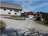 39
39 40
40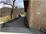 41
41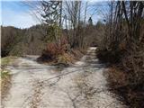 42
42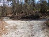 43
43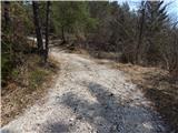 44
44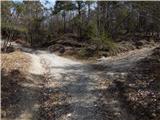 45
45 46
46 47
47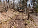 48
48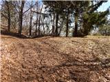 49
49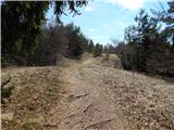 50
50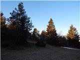 51
51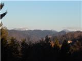 52
52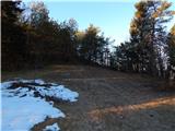 53
53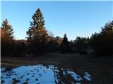 54
54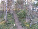 55
55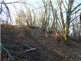 56
56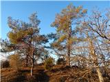 57
57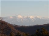 58
58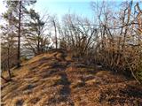 59
59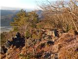 60
60 61
61
Discussion about the trip Polhov Gradec - Kucelj above Polhov Gradec (via Ravnek)
To post a comment you must log in:
If you do not yet have a username, you must first
register.