Polhov Gradec - Tošč (via Mačkov graben)
Starting point: Polhov Gradec (400 m)
| Latitude/Longitude: | 46,07590°N 14,31300°E |
| |
Route name: via Mačkov graben
Walking time: 1 h 50 min
Difficulty: easy marked way
Elevation gain: 621 m
Elevation difference along the route: 640 m
Map: Ljubljana - okolica 1:50.000
Recommended equipment (summer):
Recommended equipment (winter):
Views: 26.418
 | 3 people like this post |
Access to starting point:
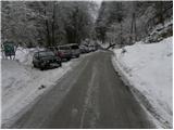
From Horjul or Dobrova we drive to Polhov Gradec, then continue driving towards Črni vrh. Right at the spot where we notice the sign for the end of Polhov Gradec, we continue right in the direction of Mačkov graben and the church of St. Uršula. We drive only a short time further, as the road quickly brings us to the next crossroads beside which we park on a somewhat larger parking lot.
Route description:
From the parking lot in Mačkov graben we continue straight in the direction of farm Gonte, Tošč and Grmada (sharply right Setnica, St. Uršula and Grmada) on initially still asphalt road which moderately ascends along Mačkov graben, a stream on which we notice numerous smaller dams, through which water flows. The road ahead leads past a few houses, then narrows and loses asphalt covering. The road then turns to the left, and we continue straight and continue the ascent on a cart track which starts to ascend somewhat more steeply along the already mentioned stream. Higher the cart track turns sharply left and a little higher brings us out of the forest onto a panoramic grassy meadow, on which we then ascend in a few minutes to farm Jelovčnik (686 m), where we again enter the forest.
Further the path slightly descends and gradually turns a little more to the right. After a few minutes of easy walking the path steeply ascends again, then after a few minutes of further walking brings us out of the forest, where ahead of us we see tourist farm Gonte.
From farm Gonte we continue left in the direction of Tošč (right Polhograjska Grmada) on a wide cart track, from which already after a few meters a marked footpath branches off to the left. We continue the ascent on the mentioned footpath, which enters the forest and starts moderately ascending. The path ahead crosses some panoramic grassy slopes, then passes onto the ridge of Mali Tošč, which we reach after a few minutes.
From Mali Tošč follows a short descent, then the path brings us to a smaller saddle, where from the right joins the path from Govejka. We continue in the direction of Tošč on a somewhat steeper path, which we then follow through the forest all the way to the top.

Along the route: Turistična kmetija Gonte (805m), Mali Tošč (902m)
Photos:
 1
1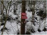 2
2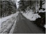 3
3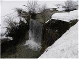 4
4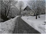 5
5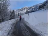 6
6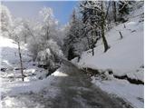 7
7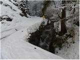 8
8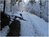 9
9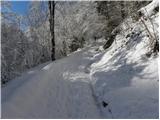 10
10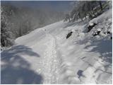 11
11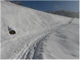 12
12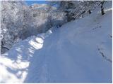 13
13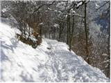 14
14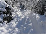 15
15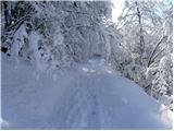 16
16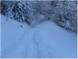 17
17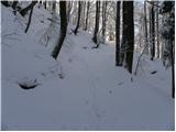 18
18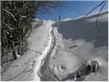 19
19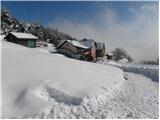 20
20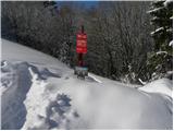 21
21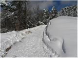 22
22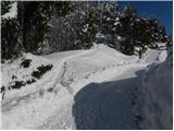 23
23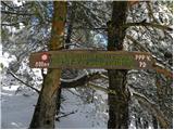 24
24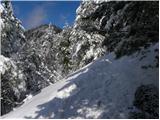 25
25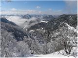 26
26 27
27 28
28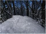 29
29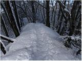 30
30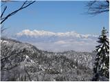 31
31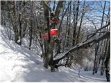 32
32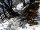 33
33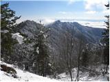 34
34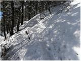 35
35 36
36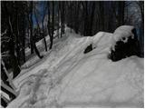 37
37 38
38 39
39 40
40
Discussion about the trip Polhov Gradec - Tošč (via Mačkov graben)
|
| vukovivek5. 11. 2011 |
I walked this path but in the summer time. l.p.
|
|
|
|
| Darxta1. 10. 2012 |
One big plus of this path is the nice view back to Mačkov graben and Polhograjska gora with hayfields under the Jelovčnik farm. It gives a person some drive to climb higher in hope of a better view 
|
|
|
|
| Igy31. 10. 2019 |
I've been walking this path for years... beautiful views ... first to Tošč, back also to Grmada and obligatory before returning past Mehak... a nice loop
|
|
|
To post a comment you must log in:
If you do not yet have a username, you must first
register.