Polja - Ofen/Peč (via Kališje)
Starting point: Polja (1028 m)
| Latitude/Longitude: | 46,50850°N 13,75100°E |
| |
Route name: via Kališje
Walking time: 2 h 15 min
Difficulty: easy unmarked way
Elevation gain: 480 m
Elevation difference along the route: 585 m
Map: Kranjska Gora 1:30.000
Recommended equipment (summer):
Recommended equipment (winter): ice axe, crampons
Views: 1.100
 | 2 people like this post |
Access to starting point:
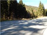
A) First, we drive to Kranjska Gora, then continue driving towards Rateče. In Podkoren we turn right in the direction of the Korensko sedlo pass. Above Podkoren the road turns sharply left, then for some time crosses the slopes towards the left. About 50 meters before the road sign 1 km, a forest road branches off to the left, onto which we turn and park at an appropriate place beside the road.
B) Via the Predel border crossing we drive to Italy, then continue driving towards Trbiž / Tarvisio and further to Rateče. In Rateče we continue straight, then in Podkoren we turn left towards Austria. Above Podkoren the road turns sharply left, then for some time crosses the slopes towards the left. About 50 meters before the road sign 1 km, a forest road branches off to the left, onto which we turn and park at an appropriate place beside the road.
Route description:
From the starting point, we continue on the forest road, which curves semicircularly to the left and temporarily leads past the pasture. The road, which after the bend starts gently to moderately ascending, soon crosses the Kališnik stream, then slowly turns more and more to the right. Higher, we reach the panoramic area from which a nice view opens towards Kranjska Gora and part of the Julian Alps. Next follows crossing of a grazing fence; immediately after the mentioned crossing we continue right on a partly overgrown cart track which ascends diagonally above the road. For a few minutes we ascend on the overgrown cart track, then the cart track transitions into dense forest, where it is easier to pass. Higher, on the part where the cart track is lost in the grass, we continue right and in a few steps join the path leading from Rateče.
Further on, we ascend through the area named Lomiči, where on several grassy spots we notice old, mostly already quite worn-out hayracks. During the ascent on the mentioned part, when looking back several times a nice view opens on the Julian Alps, and higher we reach the macadam road, which we follow to the left (the right branch of the road soon ends). On the road we ascend for a few minutes, then arrive at a junction where we continue left (slightly right Petelinjek, sharply right Kališje).
Further, we walk on the road which continues with some shorter ascents and descents and runs on the western slopes of the Petelinjek ridge. When the crossing below the mentioned ridge ends, at the information board of the Tromeja tourist path we join a somewhat wider road which leads from Rateče. On the road we continue slightly right, and follow it in moderate ascent all the way to its end, which is located a little below the summit of Peč. From the end of the road we continue on the marked path, on which with ever better views we ascend to Tromeja.
Description and pictures refer to the condition in 2016 (October).

Along the route: Lomiči (1300m)
Photos:
 1
1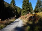 2
2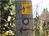 3
3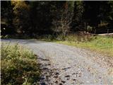 4
4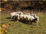 5
5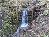 6
6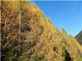 7
7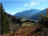 8
8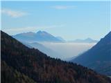 9
9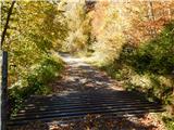 10
10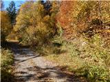 11
11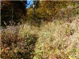 12
12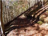 13
13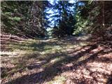 14
14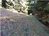 15
15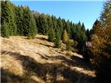 16
16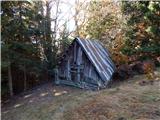 17
17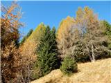 18
18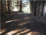 19
19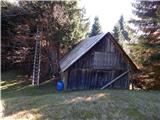 20
20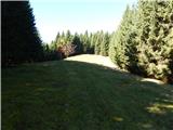 21
21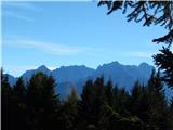 22
22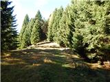 23
23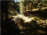 24
24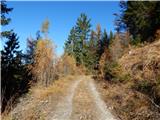 25
25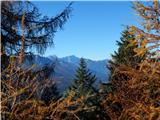 26
26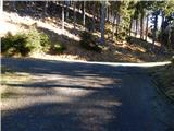 27
27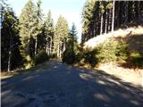 28
28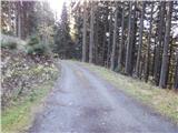 29
29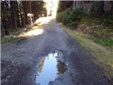 30
30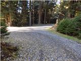 31
31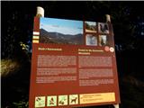 32
32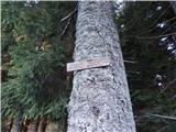 33
33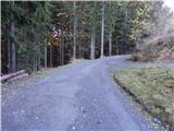 34
34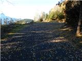 35
35 36
36 37
37 38
38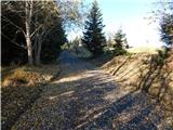 39
39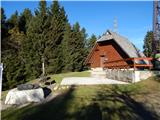 40
40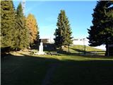 41
41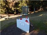 42
42 43
43
Discussion about the trip Polja - Ofen/Peč (via Kališje)
To post a comment you must log in:
If you do not yet have a username, you must first
register.