Poljana (Završnica) - Potoška planina (via Valvasorjev dom)
Starting point: Poljana (Završnica) (640 m)
| Latitude/Longitude: | 46,40720°N 14,14610°E |
| |
Route name: via Valvasorjev dom
Walking time: 1 h 50 min
Difficulty: easy marked way
Elevation gain: 630 m
Elevation difference along the route: 700 m
Map: Karavanke - osrednji del 1:50.000
Recommended equipment (summer):
Recommended equipment (winter): ice axe, crampons
Views: 9.458
 | 1 person like this post |
Access to starting point:
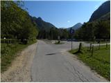
From the highway Ljubljana - Jesenice we go to the exit Lesce and follow the road ahead in the direction of Žirovnica and Jesenice. After a few km of driving, we will get to a crossroad, where the road to Žirovnica and Moste branches off to the right (from the direction of Jesenice left). Only a few meters ahead in the next crossroad, we turn left to Moste (right Žirovnica). Further, we drive past a monument to fallen soldiers, where the road starts ascending on a hill below the railway track. On top of the slope, we turn right (at the sign Vila Karin), and then drive towards Završniško jezero and Valvasorjev dom. The road then flattens and brings us to a crossroad, where the road to Valvasorjev dom branches off to the left. Here we continue straight towards Završnica and then after 100 meters we park on a well-maintained asphalt parking lot.
Route description:
From the parking lot, we return on an asphalt road to the crossroad, and from there we continue in the direction of the mountain hut Valvasorjev dom pod Stolom and mountain pasture Potoška planina. From the crossroad, for some time we walk on a scenic macadam road, and then blazes and signs for Valvasorjev dom point us to the left on a marked footpath which gently descends to the nearby stream Rečica. Through a footbridge we cross the mentioned stream and then we get to a larger meadow, through which we gently ascend slightly towards the left. On the other side of the meadow, the path goes into the forest and passes on a relatively steep cart track, on which we ascend to an indistinct saddle between the peaks Sivo rebro and Smolnik.
From here only for a short time we continue on a cart track, and then signs point us to the right on a footpath which ascends diagonally over a short rough slope. Well maintained path then turns to the left and further ascends diagonally over occasionally steeper slopes of the peak Smolnik. All the time quite wide path higher brings us to a forest road which we only cross. On the other side of the road, we go right and continue the ascent on a poorly marked path, which higher also has some unmarked shortcuts. This path, which in the upper part because of numerous footpaths is also orientationally a little harder, we follow all the way to the mountain hut Valvasorjev dom pod Stolom.
From the mountain hut Valvasorjev dom we continue on a poorer macadam road in the direction of Belščica and Potoška planina. After an initial somewhat steeper ascent the road gradually flattens and turns to the left, where then it crosses the slopes below Potoški Stol. The road, which most of the time runs through the forest, after some time slightly descends and brings us to a crossroad in the immediate vicinity of the mountain pasture Potoška planina. Here we cross a grazing fence and in a few steps we walk to a shepherd's hut on the mentioned mountain pasture.

Photos:
 1
1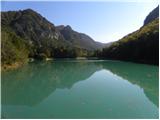 2
2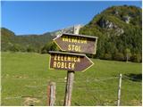 3
3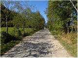 4
4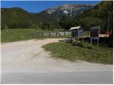 5
5 6
6 7
7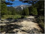 8
8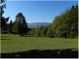 9
9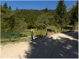 10
10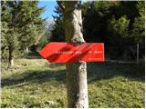 11
11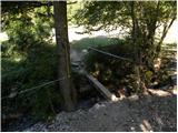 12
12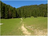 13
13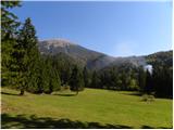 14
14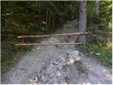 15
15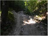 16
16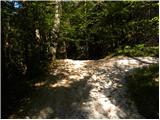 17
17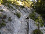 18
18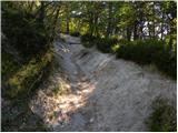 19
19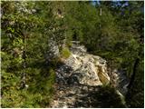 20
20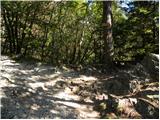 21
21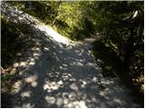 22
22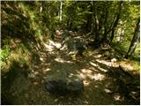 23
23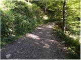 24
24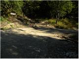 25
25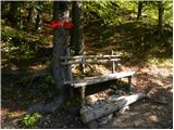 26
26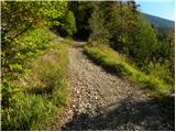 27
27 28
28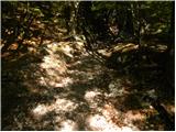 29
29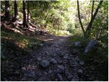 30
30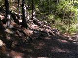 31
31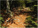 32
32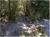 33
33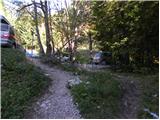 34
34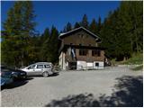 35
35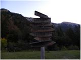 36
36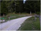 37
37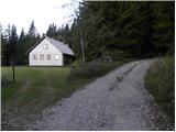 38
38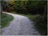 39
39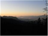 40
40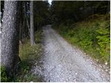 41
41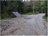 42
42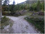 43
43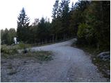 44
44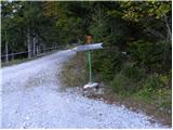 45
45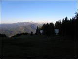 46
46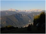 47
47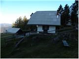 48
48
Discussion about the trip Poljana (Završnica) - Potoška planina (via Valvasorjev dom)
To post a comment you must log in:
If you do not yet have a username, you must first
register.