Poljane nad Škofjo Loko - St. Primož and Felicijan on Gabrška gora
Starting point: Poljane nad Škofjo Loko (385 m)
| Latitude/Longitude: | 46,12370°N 14,18425°E |
| |
Walking time: 1 h 20 min
Difficulty: easy marked way
Elevation gain: 445 m
Elevation difference along the route: 455 m
Map: Škofjeloško in Cerkljansko hribovje 1:50.000
Recommended equipment (summer):
Recommended equipment (winter):
Views: 5.400
 | 1 person like this post |
Access to starting point:
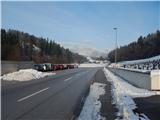
A) First, we drive to Škofja Loka, then continue driving towards Gorenja vas and Žiri. When we arrive in Poljane nad Škofjo Loko, at the traffic-light intersection we turn right towards the center of the settlement. From the intersection, we drive just over 200 meters further, then park on the parking lot by the cemetery.
B) From Polhov Gradec or Horjul, Žiri or Cerkno, we drive to Gorenja vas in Poljanska dolina, then continue driving towards Škofja Loka. When we arrive in Poljane nad Škofjo Loko, at the traffic-light intersection we turn left towards the center of the settlement. From the intersection, we drive just over 200 meters further, then park on the parking lot by the cemetery.
Route description:
From the cemetery, we return a little back along the sidewalk, or more precisely to the second turn-off of the hiking path to Gabrška gora (the first turn-off of the path leads along the road). From the second turn-off, we start to ascend a narrower asphalt road that leads us past a few houses, then before the last house we continue straight onto a cart track that ascends through a panoramic meadow to the other asphalt road, where we join the first path to Gabrška gora.
For a short time we ascend the asphalt road, then signs for Gabrška gora direct us left onto a marked footpath that starts to ascend through the forest. Through the forest the path leads us over several junctions, and we follow the blazes or signs for Gabrška gora. Higher up, the path brings us to the upper edge of a panoramic hay meadow, from where a nice view opens up on part of Poljanska dolina and Polhograjsko hribovje. Above the mentioned section, the path temporarily returns to the forest, then during the ascent over the next hay meadow a nice view opens up on the left side, where we can clearly see Blegoš and a few neighboring peaks. When the path enters the forest again, the path from the hamlet Smoldno joins from the right, and we continue straight, past a religious symbol, on the path that continues on a cart track. From the cart track we go left soon after, then a few minutes of steeper ascent follow and the path brings us to the church of St. Primož and Felicijan on Gabrška gora.
Description and pictures refer to the condition in the year 2017 (December).

Photos:
 1
1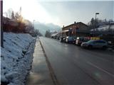 2
2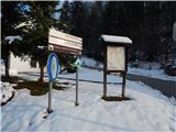 3
3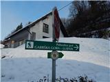 4
4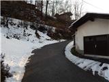 5
5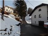 6
6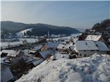 7
7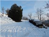 8
8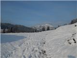 9
9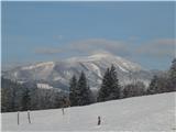 10
10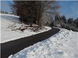 11
11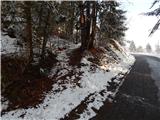 12
12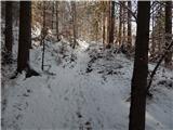 13
13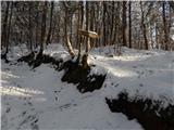 14
14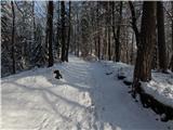 15
15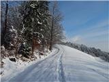 16
16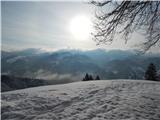 17
17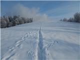 18
18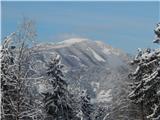 19
19 20
20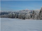 21
21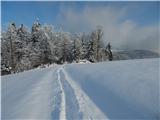 22
22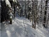 23
23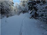 24
24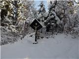 25
25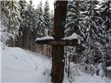 26
26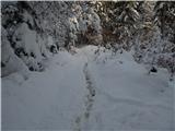 27
27 28
28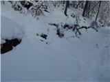 29
29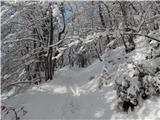 30
30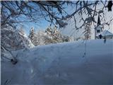 31
31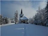 32
32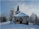 33
33
Discussion about the trip Poljane nad Škofjo Loko - St. Primož and Felicijan on Gabrška gora
To post a comment you must log in:
If you do not yet have a username, you must first
register.