Polomova rajda - Veliki Rob (via Kucelj)
Starting point: Polomova rajda (1023 m)
| Latitude/Longitude: | 45,95600°N 13,85410°E |
| |
Route name: via Kucelj
Walking time: 2 h 45 min
Difficulty: easy marked way
Elevation gain: 214 m
Elevation difference along the route: 430 m
Map: Goriška 1:50.000
Recommended equipment (summer):
Recommended equipment (winter): ice axe, crampons
Views: 229
 | 1 person like this post |
Access to starting point:
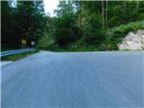
a) We drive to Col, then follow the road towards Otlice and Predmeje. This is followed by driving across the Gora plateau, where the road leads us through several villages; at Predmeje we join the road from Ajdovščina and go right towards the Lokve settlement. The road ahead leads through a small valley, where first a marked path branches off to the right towards Golakov, a little further the road turns left and passes from the valley onto the slope. When higher up the road turns right, we head left onto the side road, alongside which are signs for Čaven. We park a bit further on a suitable spot by the road.
b) We drive to Ajdovščina, then follow signs for Lokavec and Predmeje. This is followed by a fairly steep ascent along the road to Predmeje, where we continue straight towards the Lokve settlement. The road ahead leads through a small valley, where first a marked path branches off to the right towards Golakov, a little further the road turns left and passes from the valley onto the slope. When higher up the road turns right, we head left onto the side road, alongside which are signs for Čaven. We park a bit further on a suitable spot by the road.
Route description:
We start the trail along a forest road towards Čaven, ascending gently to moderately to the left along it, accompanied by occasional Knafelc trail markers. Later, at a small junction, we continue along the lower left road, marked for Čaven, then pass a NOB memorial to reach a marked junction where we join the marked trail from Predmeje. The trail continues along the forest road, which becomes asphalt for a short section; when the forest to the left ends, a nice view opens from the vantage point to the surroundings, where Nanos and part of the Vipava Valley are clearly visible.
Beyond the vantage point, we continue straight (right is one of the trails to Veliki Modrasovec) and after a few minutes of further walking arrive at the Koča Antona Bavčerja na Čavnu hut.
Behind the hut, signs for Kucelj direct us slightly left onto a footpath that begins to descend transversely. The trail crosses a short strip of forest, then turns right, continuing to descend easily. The path gradually enters the forest, and from the left the path from Kamnje village joins us (there are two turnoffs for Kamnje). We continue towards Kucelj along a path that gradually moves to the right side of the "Čaven" ridge. The trail continues across a larger clearing, from which a view opens to the surrounding hills, then returns to the forest. A bit further, we leave the gentle cart track and continue the ascent left, climbing through dense forest. The steepness soon eases, and the trail brings us from the forest onto increasingly panoramic grassy slopes. A few minutes of easy walking follow, then the trail brings us below the summit of Kucelj itself, where it steeply ascends again. We follow this trail, which offers ever better views, all the way to the top of Kucelj, reaching it after a few more minutes of walking.
From Kucelj we descend towards Vrtovina along a path that after a short descent brings us to a marked junction. We continue right towards Veliki Rob along a pleasant path that gently descends across panoramic grassy slopes. Lower down, the trail enters a strip of scrub, then joins the old road or cart track connection between Vipava Valley and Trnovski Gozd. We follow this cart track right, and after just a few minutes signs for Veliki Rob direct us left onto a footpath that gradually begins to ascend the southern slopes of Trnovski Gozd. The occasionally very panoramic trail higher up moves somewhat right from the ridge and briefly enters dense forest, where the path from Krnica joins from the right. After a short descent, the trail ascends again, bringing us from the forest into a belt of dwarf pines, where it continues along and beside the occasionally quite steep ridge. We follow this trail, which offers nice views, all the way to Veliki Rob.
Starting point - Čaven Hut 1:00, Čaven Hut - Kucelj 45 min, Kucelj - Veliki Rob 1:00.

Photos:
 1
1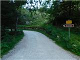 2
2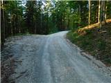 3
3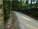 4
4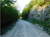 5
5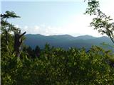 6
6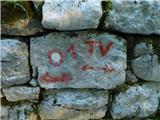 7
7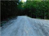 8
8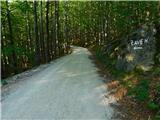 9
9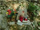 10
10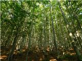 11
11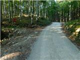 12
12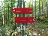 13
13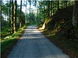 14
14 15
15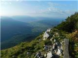 16
16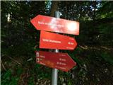 17
17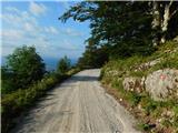 18
18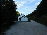 19
19 20
20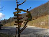 21
21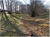 22
22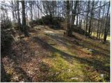 23
23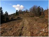 24
24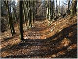 25
25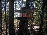 26
26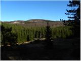 27
27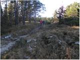 28
28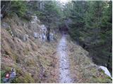 29
29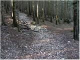 30
30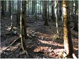 31
31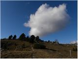 32
32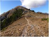 33
33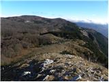 34
34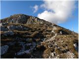 35
35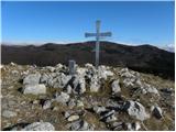 36
36 37
37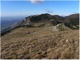 38
38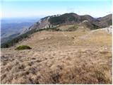 39
39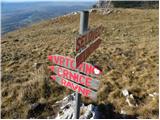 40
40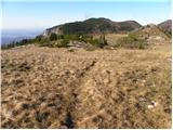 41
41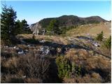 42
42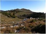 43
43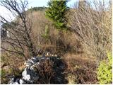 44
44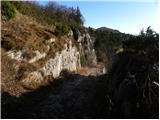 45
45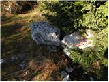 46
46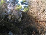 47
47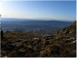 48
48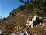 49
49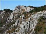 50
50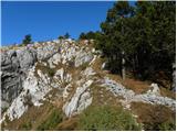 51
51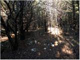 52
52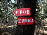 53
53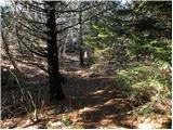 54
54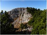 55
55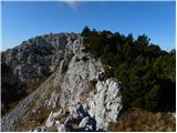 56
56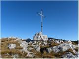 57
57 58
58
Discussion about the trip Polomova rajda - Veliki Rob (via Kucelj)
To post a comment you must log in:
If you do not yet have a username, you must first
register.