Ponikva/Hotunje - Sveta Uršula above Dramlje
Starting point: Ponikva/Hotunje (275 m)
| Latitude/Longitude: | 46,24970°N 15,43060°E |
| |
Walking time: 1 h 30 min
Difficulty: easy marked way
Elevation gain: 189 m
Elevation difference along the route: 280 m
Map: Posavsko hribovje Boč - Bohor 1:50.000
Recommended equipment (summer):
Recommended equipment (winter):
Views: 3.977
 | 2 people like this post |
Access to starting point:
A) With a train...Train station Ponikva.
B) With a car...We leave the highway at exit Dramlje and continue in the direction of Šentjur. After three kilometers at the roundabout Dole we continue in the direction of the settlement Ponikva and after approximately seven kilometers we reach the railway track. In front of the railway crossing we can park safely. The train station is on the other side of the tracks and a little to the right.
Route description:
On the asphalt road which goes along the stream we continue in the direction of the settlement Zagaja pri Ponikvi. After about a kilometer and a half, the asphalt pavement changes into macadam and we follow it through the forest. Soon we reach a smaller settlement of houses and with good markings we continue through the yard of one of the homesteads on a meadow path. The meadow path passes into a forest path, then leads us past several ponds and through the forest we follow somewhat higher to the chapel. From the chapel we continue through Razbor, left and soon below the road viaduct, where we also cross a smaller watercourse, and pass to the other side of the highway. We continue across a meadow, through the yard of a homestead and along a wooden fence with horses we reach the more substantial part of Vodule. From the flat part of Vodul follows an ascent on an asphalt road and further on narrower paths amidst vineyards/vineyard cottages. Higher we reach a junction and after about a hundred meters we go right and soon by the path there will also be the church of St. Ursula and the Dom drameljskih planincev in the former sacristan's house.
The total length of the path from Ponikva/Hotunje is 5100 meters, 280 positive altitude meters and 90 negative altitude meters.

Photos:
 1
1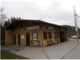 2
2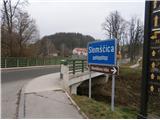 3
3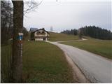 4
4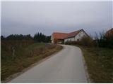 5
5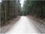 6
6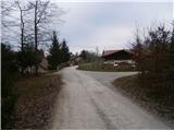 7
7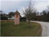 8
8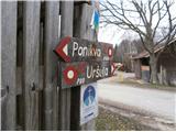 9
9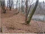 10
10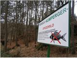 11
11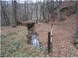 12
12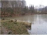 13
13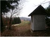 14
14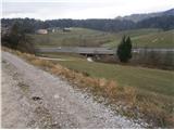 15
15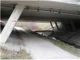 16
16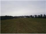 17
17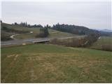 18
18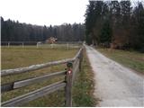 19
19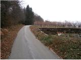 20
20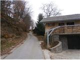 21
21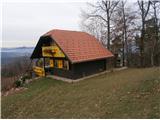 22
22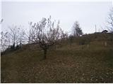 23
23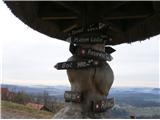 24
24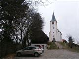 25
25
Discussion about the trip Ponikva/Hotunje - Sveta Uršula above Dramlje
|
| bruny27. 01. 2015 |
Today, 27.01.2015 in the evening hiking activity along the described path...there and back, there was some addition and maybe more!? in the conditions...It was cold though  ...Lp ...Lp
|
|
|
|
| bruny12. 02. 2016 |
Along the described path to picture no. 16 and return back to Hotunje on Thursday 11.02.2016 in the afternoon. Short hiking activity in the area between the railway line and the Maribor - Celje motorway. Unfortunately no time for St. Ursula. Razbor ponds serve multiple functions in this area, also as natural water retention basins, place for recreation, fishing and more... Source - Pešpoti and Strava Lp
|
|
|
To post a comment you must log in:
If you do not yet have a username, you must first
register.