Starting point: Povlje (710 m)
| Latitude/Longitude: | 46,32960°N 14,37680°E |
| |
Walking time: 3 h 20 min
Difficulty: partly demanding marked way
Elevation gain: 824 m
Elevation difference along the route: 930 m
Map: Karavanke - osrednji del 1:50.000
Recommended equipment (summer):
Recommended equipment (winter): ice axe, crampons
Views: 2.306
 | 1 person like this post |
Access to starting point:
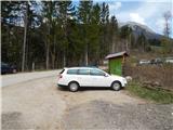
a) From the Ljubljana - Jesenice motorway, take the Brnik exit, and when reaching the Mengeš - Kranj road, continue left towards Kranj. Drive along the main road towards Kranj to the first roundabout, from which continue on the first right exit towards Šenčur. Through Šenčur continue on the main road, then, when reaching the Kranj - Zgornje Jezersko road, continue right towards Jezersko. When arriving in Preddvor, leave the main road and continue driving left towards the centre of the mentioned place, from there follow the signs to the Bašelj settlement. A little past the Bašelj settlement, the road descends to the Milka stream and crosses it over a bridge. Here, to the right first branches a road to the villages Babni Vrt, and some 100 m further also to the village Povlje. Continue on the ascending road towards Povlje, and park on a smaller parking lot above the village. At the starting point there is a small intersection, several hiking direction signs and a larger information board of the Trstenik walking-educational trail "path under Storžič".
b) From the Jesenice - Ljubljana motorway, take the Kranj west exit, then continue driving towards Golnik. When arriving in Tenetiše, leave the main road towards Golnik and continue driving right towards Trstenik. Approximately 1 km past the Trstenik settlement, arrive at a smaller intersection, where continue left towards the village Povlje. Continue on the ascending road towards Povlje, and park on a smaller parking lot above the village. At the starting point there is a small intersection, several hiking direction signs and a larger information board of the Trstenik walking-educational trail "path under Storžič".
Route description:
From the starting point, continue in the direction of the Trstenik walking-educational trail "path under Storžič", that is, continue on the asphalt road that turns right and leads us a bit higher past a few houses and weekend cottages. Above the settlement, the asphalt ends, and the road turns into the forest, where a little further it crosses a torrent stream (in the upper part known as the southwest gully of Storžič, in the lower part no longer so pronounced). After crossing the torrent gully, where bear's garlic grows in springtime, the road ascends transversely to the right for some time, then splits into two wide tracks. Continue on the lower right track, from which after a few steps go left into the forest, onto the path towards sv. Lovrenc. The path continues for some time without major changes in elevation, then joins a track, along which we quickly arrive at Srečotovih mlinčki.
A little above the mills, the path towards sv. Lovrenc turns right from the track into dense forest, but we continue straight and ascend along the track to the junction with the marked path.
Follow the mentioned path to the left (right sv. Lovrenc, Bašelj...) in the direction of Storžič and Kališče.
Continue further in the direction of Storžič along the wide path, which gently ascends. The path soon becomes narrower and then steeply ascends through the forest for quite some time. Higher up, the path leads us out of the forest and beautiful views open up to the southern slopes of Storžič. The steepness does not relent all the way to the bench at the junction.
To the left, a marked path leads towards Javornik and Poljana, but we head right towards Kališče. From the junction, the path becomes somewhat narrower and less trodden. Continuing, we cross the slopes towards the east for a long time. Along the path, forest and grassy slopes alternate, which are quite steep in some places. During the crossing, the path occasionally ascends a bit more steeply, and sometimes gently descends. In the second part of the crossing, the path brings us to the spring below Bašeljsko sedlo. Here, the path turns slightly right and continues crossing the slopes until it brings us to a marked junction, where we continue right towards Dom na Kališču (left Storžič, straight or slightly left Bašeljski vrh and Mali Grintovec).
From the junction onwards, we walk along the wide panoramic ridge, along which we arrive at Dom na Kališču in a few minutes.
Starting point - saddle at sv. Lovrenc 0:40, saddle at sv. Lovrenc - wide valley 1:45, Wide valley - Spring below Bašeljsko sedlo 0:35, Spring below Bašeljsko sedlo - junction above Kališče 0:15, junction above Kališče - Dom na Kališču 0:05.

Along the route: Pri treh Mlinčkih (835m), Sedlo pri sv. Lovrencu (867m), Široka dolina (1414m), Izvir pod Bašeljskim sedlom (1528m), Razpotje nad Kališčem (1570m)
Photos:
 1
1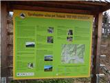 2
2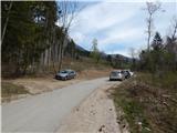 3
3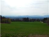 4
4 5
5 6
6 7
7 8
8 9
9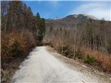 10
10 11
11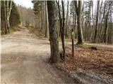 12
12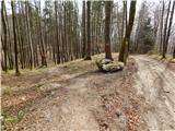 13
13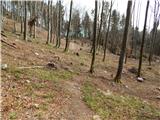 14
14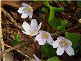 15
15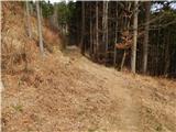 16
16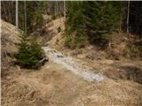 17
17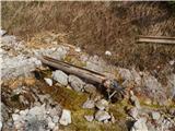 18
18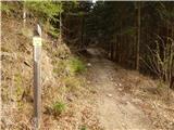 19
19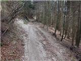 20
20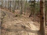 21
21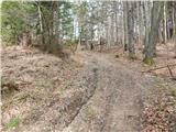 22
22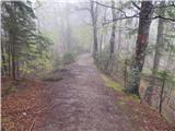 23
23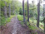 24
24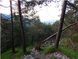 25
25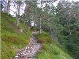 26
26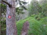 27
27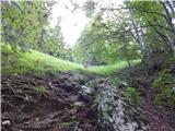 28
28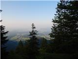 29
29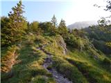 30
30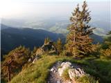 31
31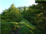 32
32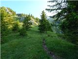 33
33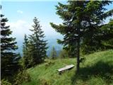 34
34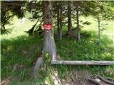 35
35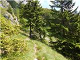 36
36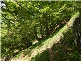 37
37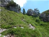 38
38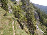 39
39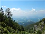 40
40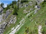 41
41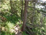 42
42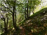 43
43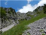 44
44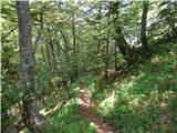 45
45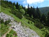 46
46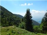 47
47 48
48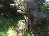 49
49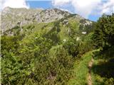 50
50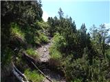 51
51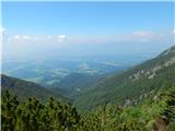 52
52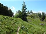 53
53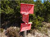 54
54 55
55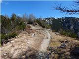 56
56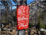 57
57 58
58 59
59
Discussion about the trip Povlje - Dom na Kališču
To post a comment you must log in:
If you do not yet have a username, you must first
register.