Starting point: Povodje (316 m)
| Latitude/Longitude: | 46,13820°N 14,47910°E |
| |
Walking time: 1 h 50 min
Difficulty: easy marked way
Elevation gain: 360 m
Elevation difference along the route: 400 m
Map: Ljubljana - okolica 1:50.000
Recommended equipment (summer):
Recommended equipment (winter): ice axe, crampons
Views: 4.712
 | 1 person like this post |
Access to starting point:
From the highway Ljubljana - Jesenice we take the exit Ljubljana - Šmartno, and follow the road to the mentioned settlement, where we turn right onto the road that leads towards Vodice. We continue driving towards Vodice, but at the first intersection after the overpass over the highway we turn right, where after 100 meters of driving we arrive at the fish farm Povodje. At the starting point there are no organized parking spots, but we can find a suitable spot nearby.
Route description:
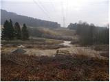
From the starting point we head onto the initially overgrown path in the direction of Šmarna gora, along which in a few dozen steps we ascend to the overpass over the highway. We walk along the sidewalk to the other side of the highway, there we carefully cross the road, then we head onto the marked footpath which continues alongside the wire fence. At first we walk along the overgrown path, then we join the cart track, which for quite some time continues parallel to the highway. After a short gentle descent the cart track turns left, but we continue alongside the highway. The relatively poorly marked path then turns left and brings us to a large meadow. Here we continue slightly right and walk almost along the edge of the meadow to the nearby forest, where we join the somewhat better marked path from Skaručna. Here we continue left, cross the stream Gračenica, then we begin to ascend gently. The path ahead leads us under the power line, a little further it returns to the forest and crosses the macadam road. Somewhat above the road we join the rough cart track, along which we gradually begin to ascend more and more steeply. Higher we leave the cart track and along a somewhat steeper path in a few minutes ascend to the path that almost encircles Šmarna gora. We follow the mentioned path to the right, which brings us over relatively steep slopes to Turkovo znamenje.
Here we continue straight ahead (left steeply uphill to Šmarna gora - steep path) and continue along the path that ascends transversely. Higher the path turns a bit more to the left and brings us out of the forest onto grassy slopes. Here first we cross the grazing fence, then with a view of Grmada we walk to the junction, where we join the poorer road that leads from Zavrh towards Šmarna gora.
When we reach the mentioned road we continue right downhill (left to the summit of Šmarna gora 5 minutes) and descend to the nearby Sedlo. Here we continue left downhill in the direction of Tacen, but when the path enters the forest we continue right in the direction of Grmada. We continue the ascent along a somewhat steeper path, which first ascends through the forest, then transitions to a partly panoramic ridge, along which in a few dozen steps of further walking we ascend to the summit of Grmada.

Along the route: Na Sedlu (580m)
The trip can be extended to the following destinations: Šmarna gora
Photos:
 1
1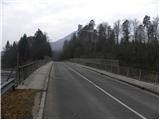 2
2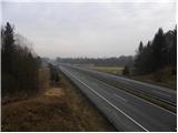 3
3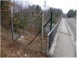 4
4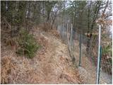 5
5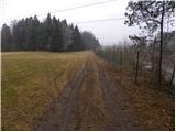 6
6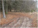 7
7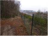 8
8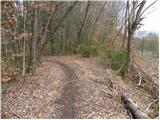 9
9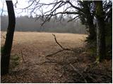 10
10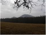 11
11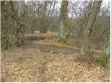 12
12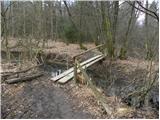 13
13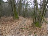 14
14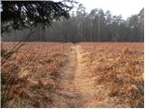 15
15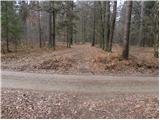 16
16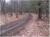 17
17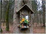 18
18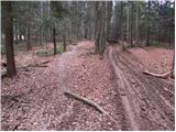 19
19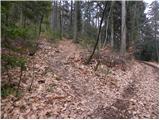 20
20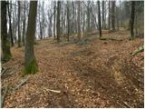 21
21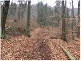 22
22 23
23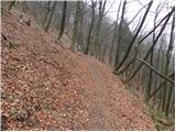 24
24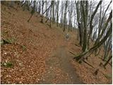 25
25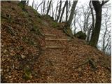 26
26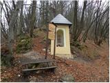 27
27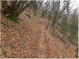 28
28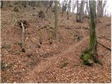 29
29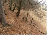 30
30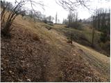 31
31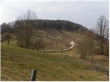 32
32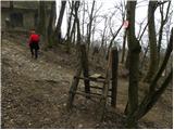 33
33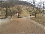 34
34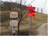 35
35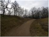 36
36 37
37 38
38 39
39 40
40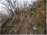 41
41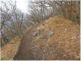 42
42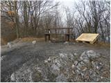 43
43 44
44 45
45
Discussion about the trip Povodje - Grmada
To post a comment you must log in:
If you do not yet have a username, you must first
register.