Praproče - Marija Snežna on Gradišca
Starting point: Praproče (416 m)
| Latitude/Longitude: | 45,53280°N 13,91690°E |
| |
Walking time: 25 min
Difficulty: easy marked way
Elevation gain: 51 m
Elevation difference along the route: 60 m
Map: Primorje in Kras 1:50.000
Recommended equipment (summer):
Recommended equipment (winter):
Views: 1.990
 | 2 people like this post |
Access to starting point:
We leave the Ljubljana - Koper highway at the Kastelec exit, then follow the signs for Podgorje. Still before Podgorje, we turn right onto the road in the direction of the settlement Praproče; at the sign which marks the beginning of the settlement Praproče, we continue on the left road and park next to it 50 meters ahead on the marked parking lot.
Route description:
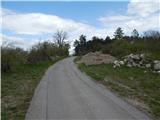
From the parking lot, via the connecting cart track, we return to the right road, along which we walk towards the center of the village. At the first houses, we leave the asphalt road and continue right on a marked path which continues on a worse macadam road. After a few minutes, we go from the road slightly left onto a grassy cart track, and from the cart track after a few steps slightly right onto a marked footpath. From the junction ahead, we still gently ascend for a short time, then the path becomes a little steeper and temporarily also panoramic. Next we cross the fence, then we join the cart track from Črnotič, on which in a minute of additional walking we ascend to the church of Marija Snežna.
Description and pictures refer to the condition in the year 2018 (April).
Photos:
 1
1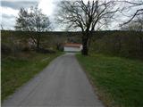 2
2 3
3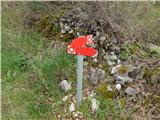 4
4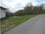 5
5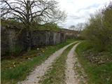 6
6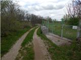 7
7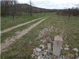 8
8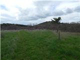 9
9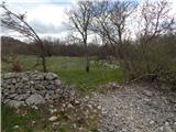 10
10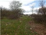 11
11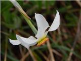 12
12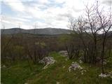 13
13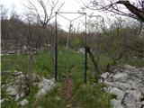 14
14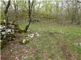 15
15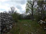 16
16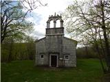 17
17
Discussion about the trip Praproče - Marija Snežna on Gradišca
To post a comment you must log in:
If you do not yet have a username, you must first
register.