Starting point: Praproče (416 m)
| Latitude/Longitude: | 45,53280°N 13,91690°E |
| |
Walking time: 25 min
Difficulty: easy marked way
Elevation gain: 33 m
Elevation difference along the route: 55 m
Map: Primorje in Kras 1:50.000
Recommended equipment (summer):
Recommended equipment (winter):
Views: 1.800
 | 1 person like this post |
Access to starting point:
We leave the Ljubljana–Koper highway at the Kastelec exit, then follow the signs for Podgorje. Still before Podgorje, we turn right onto the road towards the settlement of Praproče; at the sign marking the beginning of the settlement of Praproče, we continue on the left road and park beside it 50 metres ahead on the marked parking lot.
Route description:
From the parking lot, via the connecting cart track we return to the right road, along which we walk towards the centre of the village. At the first houses a marked path branches off to the right to Marija Snežna, but we descend along the road to the lower part of the village, where we bypass the houses on the right detour road. On the other side of the village there is a smaller cemetery, NOB monument and marked junction.
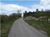
From the junction we continue in the direction of Podpeč and Hrastovlje, but we soon go right from the road onto a forest path. Higher we cross a somewhat wider cart track and ascend gently to moderately for a short time, then we reach the Rebri ridge, where the path begins to descend. The descent ends quickly and is followed by crossing a macadam road (right to Podpeč along the road and Črnotiče).
This is followed by crossing a pasture fence and a short descent. The forest first thins out, then is replaced by panoramic karst meadows. This is followed by some more panoramic walking along the Kraški rob, then we reach the indistinct summit of Zjat, from which a nice view opens up onto Podpeč and the surrounding hills.
Description and pictures refer to the situation in 2018 (April).

Photos:
 1
1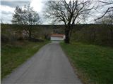 2
2 3
3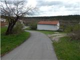 4
4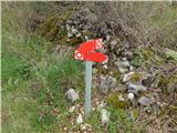 5
5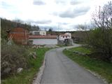 6
6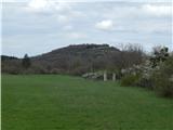 7
7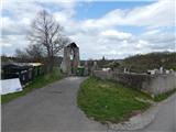 8
8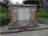 9
9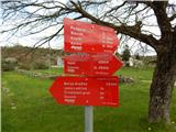 10
10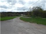 11
11 12
12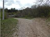 13
13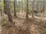 14
14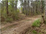 15
15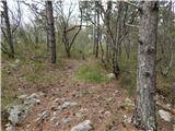 16
16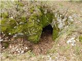 17
17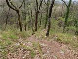 18
18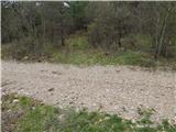 19
19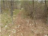 20
20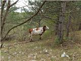 21
21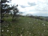 22
22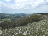 23
23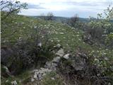 24
24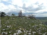 25
25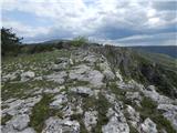 26
26 27
27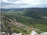 28
28
Discussion about the trip Praproče - Zjat
To post a comment you must log in:
If you do not yet have a username, you must first
register.