Praprotno - Sveti Križ (Križna Gora)
Starting point: Praprotno (390 m)
| Latitude/Longitude: | 46,19580°N 14,26550°E |
| |
Walking time: 1 h
Difficulty: easy marked way
Elevation gain: 290 m
Elevation difference along the route: 315 m
Map: Škofjeloško in Cerkljansko hribovje 1:50.000
Recommended equipment (summer):
Recommended equipment (winter):
Views: 12.349
 | 2 people like this post |
Access to starting point:
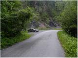
First we drive to Škofja Loka, then continue driving towards Železniki. A little before the settlement Praprotno, more precisely just before the main road crosses the Selška Sora river, we turn right onto a local road, along which after 50 m we park.
We can also reach the starting point from the direction of Železniki, namely if after the settlement Praprotno we turn left onto a local road, along which we then park.
Route description:
From the parking lot, we continue on the asphalt road, but we walk along it only about 10 m, then, when the cliffs on the right side end, we head right onto a grassy cart track. Along the mentioned cart track we ascend along the edge of the meadow, carefully looking to the right, as we will soon notice a footpath on the right side that leaves the cart track and heads steeply up the slope (the turn-off is not specially marked and we can easily miss it).
We continue the ascent through dense forest, through which we ascend steeply. Higher we cross the cart track, and the path continues steeply ascending for some time. After a few more minutes of ascent, the forest begins to thin, and the path becomes less steep. Across the meadow we ascend to the cart track, which higher up we cross several times, then ascend along it to an unmarked junction near a residential house.
Here we continue right (left leads a worse road to the nearby already mentioned residential house) and continue the path along the worse road, which crosses the slopes to the right. The cart track or road then turns left and takes us past the hayrack into the village Križna Gora, where we continue right downhill on the asphalt road (left Planica). After a short descent we arrive at the next junction, where we continue right in the direction of the church and hunting cottage (the road straight downhill descends to Škofja Loka). We continue on the macadam road, which with a few shorter ascents and descents amid nice views brings us to the church of the Holy Cross on Križna gora, which is located a little off the macadam road.
From the church we return to the road and walk along it in about 10 steps to the hunting cottage.

Along the route: Križna Gora (690m)
Photos:
 1
1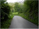 2
2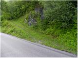 3
3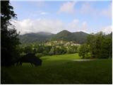 4
4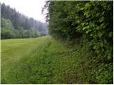 5
5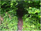 6
6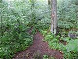 7
7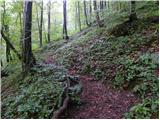 8
8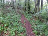 9
9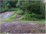 10
10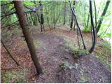 11
11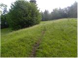 12
12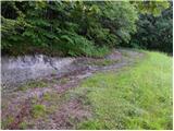 13
13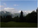 14
14 15
15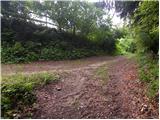 16
16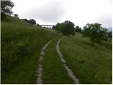 17
17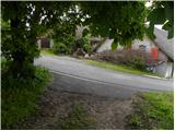 18
18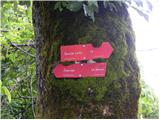 19
19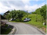 20
20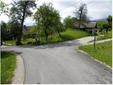 21
21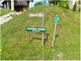 22
22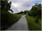 23
23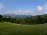 24
24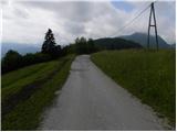 25
25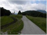 26
26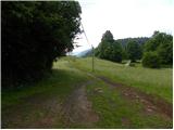 27
27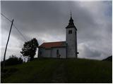 28
28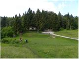 29
29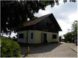 30
30
Discussion about the trip Praprotno - Sveti Križ (Križna Gora)
To post a comment you must log in:
If you do not yet have a username, you must first
register.