Starting point: Prelska (395 m)
| Latitude/Longitude: | 46,33700°N 15,19900°E |
| |
Walking time: 1 h 20 min
Difficulty: easy marked way
Elevation gain: 411 m
Elevation difference along the route: 450 m
Map:
Recommended equipment (summer):
Recommended equipment (winter): ice axe, crampons
Views: 6.290
 | 1 person like this post |
Access to starting point:
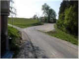
From the highway Ljubljana - Maribor we go to the exit Žalec, and then we continue driving towards Velenje. Still before Velenje, we leave the main road, because signs for Vinska Gora point us to the right on a local road, and already after a few meters it brings us to the next crossroad. Here we continue right and through Vinska Gora we drive to the neighbouring village Prelska. From Prelska the road steeply ascends, and we follow it to the chapel behind which there is a larger parking lot near the farm Lamperček, where they have a fenced enclosure for deer.
Route description:
From the parking lot at the chapel we go on the left road, by which we notice signs for farm Vovk. The path at first leads on a narrower asphalt road which at the nearby farm we leave and we continue the ascent slightly left on a cart track. The cart track soon turns right and starts lightly descending by the upper part of a meadow. After a short descent, we get into a smaller valley, where the path leads us past some abandoned mills. Only a little higher we step on an asphalt road which we follow to the right, and we follow it to the first crossroad.
From the crossroad, by which there is also an information board of municipality Dobrna, we continue left and after 100 m we get to the farm Vovk, where the asphalt, or road ends. Above the farm, the path passes on a wide cart track, which then goes into a narrower gorge, by which we notice a few more decaying mills. Higher, we leave the gorge and the path brings us on a meadow, through which we diagonally ascend towards the right. Above the meadow, we cross also a strip of forest, and then through another much larger meadow we ascend to the farm Kamenšek. Here we step on the road which we follow to the right, and we walk on it to the spot, where signs for Vinska gora point us to the left on an ascending footpath. The path ahead through a shorter strip of bushes and a larger meadow ascends to the next macadam road which we in a gentle ascent follow towards the right. The road only a little higher passes into the forest, where it joins a wider macadam road. Here we continue sharply left and we follow the gentle road for good 100 m, or to the spot where the blazes point us right on a cart track, on which we quickly ascend to a larger clearing. By the left edge of the clearing, the path steeply ascends to a viewpoint, which is situated on its upper edge.
From the viewpoint, where there is also a smaller bench, the path returns into the forest, through which it starts ascending steeper and steeper. Higher, the trail slightly flattens and in a few minutes of additional walking brings us to the top of Vinska gora.

Along the route: Vovk (455m)
Photos:
 1
1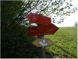 2
2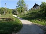 3
3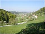 4
4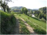 5
5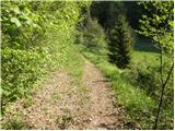 6
6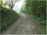 7
7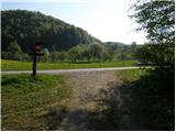 8
8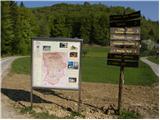 9
9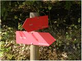 10
10 11
11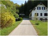 12
12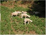 13
13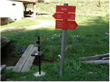 14
14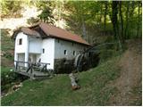 15
15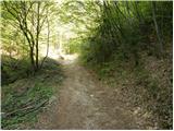 16
16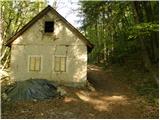 17
17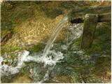 18
18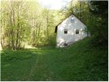 19
19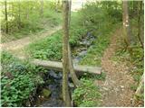 20
20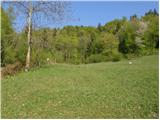 21
21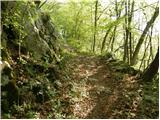 22
22 23
23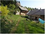 24
24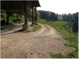 25
25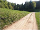 26
26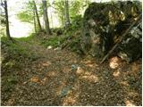 27
27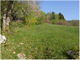 28
28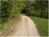 29
29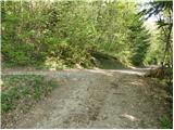 30
30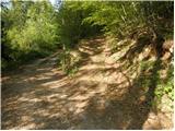 31
31 32
32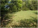 33
33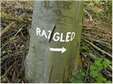 34
34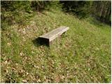 35
35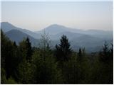 36
36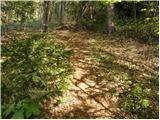 37
37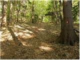 38
38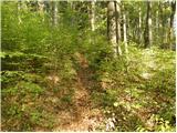 39
39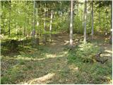 40
40 41
41 42
42
Discussion about the trip Prelska - Vinska gora
To post a comment you must log in:
If you do not yet have a username, you must first
register.