Prevalje - Koča na Naravskih ledinah (by road)
Starting point: Prevalje (409 m)
| Latitude/Longitude: | 46,54410°N 14,93190°E |
| |
Route name: by road
Walking time: 2 h 55 min
Difficulty: easy marked way
Elevation gain: 663 m
Elevation difference along the route: 670 m
Map: Koroška 1:50.000
Recommended equipment (summer):
Recommended equipment (winter):
Views: 754
 | 1 person like this post |
Access to starting point:
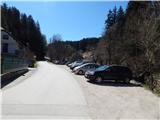
From Mežica, border crossing Holmec or Raven na Koroškem, we drive to Prevalje, where between the stores Hofer and Eurospin, at the inn Gostilna Brančurnik, we turn onto a side road which continues towards the south. At the spot where we leave the main road there are hiking signposts for Uršlja gora, and we park only a little further on a larger macadam parking lot.
Route description:
From the starting point, we continue on the asphalt road in the direction of Uršlja gora. First we walk along the Barbarski potok stream, and at the crossroads we follow the signs for Uršlja gora. Higher up a nice view opens up on Uršlja gora and Hom, and when looking back also on Peca. In the middle of the village Podkraj, at the sign, the path turns right and continues on the macadam road. From the macadam road, we soon go slightly left onto a marked footpath which continues through the forest. While walking through the forest the path leads us past Krištanov križ cross, and then we return to the road, which at the crossroads we follow in the direction of Uršlja gora.
Higher, from the left the path from Raven na Koroškem joins. We still follow the signs for Uršlja gora and Naravske ledine. After the homestead Savinc, on the part where the road crosses two successive streams, the path splits.
We continue on the road (right Naravske ledine past Godca), from which in the right turn to the left branches off the road to the tourist farm Ošven, a little further to the left also the path over Kozji hrbet to Uršlja gora. Further the road from the slopes slowly passes into a small valley, where to the left branches off another path over Kozji hrbet (the turn-off of the mentioned path is harder to notice). There follow a few more smaller crossroads, and we follow the signs for Naravske ledine. When the forest on the right ends, we continue on the lower right road, on which we descend to the Koča na Naravskih ledinah in a minute.

Photos:
 1
1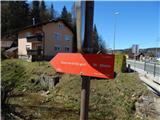 2
2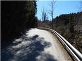 3
3 4
4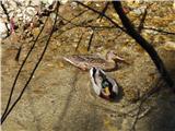 5
5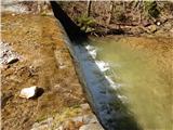 6
6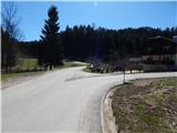 7
7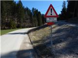 8
8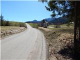 9
9 10
10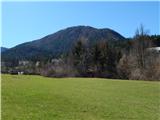 11
11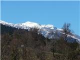 12
12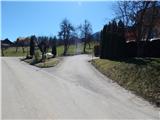 13
13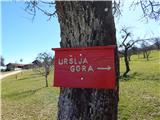 14
14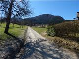 15
15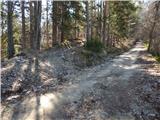 16
16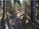 17
17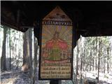 18
18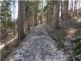 19
19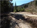 20
20 21
21 22
22 23
23 24
24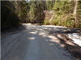 25
25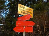 26
26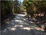 27
27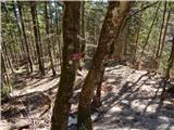 28
28 29
29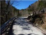 30
30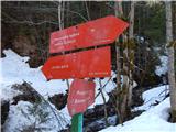 31
31 32
32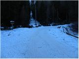 33
33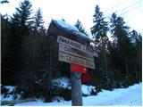 34
34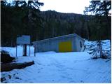 35
35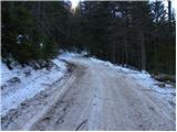 36
36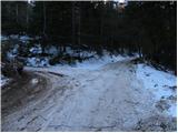 37
37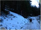 38
38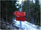 39
39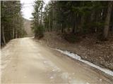 40
40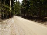 41
41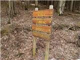 42
42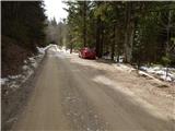 43
43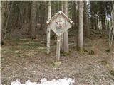 44
44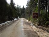 45
45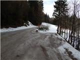 46
46 47
47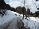 48
48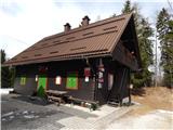 49
49
Discussion about the trip Prevalje - Koča na Naravskih ledinah (by road)
To post a comment you must log in:
If you do not yet have a username, you must first
register.