Prigorec - Ivanščica (Pionir)
Starting point: Prigorec (396 m)
Route name: Pionir
Walking time: 1 h 50 min
Difficulty: partly demanding unmarked way
Elevation gain: 665 m
Elevation difference along the route: 680 m
Map:
Recommended equipment (summer):
Recommended equipment (winter): crampons
Views: 4.510
 | 1 person like this post |
Access to starting point:
a) Enter Croatia via the Gruškovje / Macelj border crossing. Leave the motorway at the first exit and head towards Varaždin. Along the way are Trakošćan, Bednja, Lepoglava and we arrive in Ivanec. In Ivanec, at the traffic light intersection, turn right south (now the Ivanščica peak is directly ahead) and continue straight. The road begins to ascend and leads to Prigorec village. There are some parking spots along the road, often occupied; the best choice is to drive to the top of Prigorec village, where there is a large parking lot.
b) From Prekmurje via the Petišovci / Mursko Središće border crossing arrive in Croatia and continue driving through Čakovec and Varaždin, where we turn towards Ivanec. In Ivanec, at the junction with traffic lights, turn left south and follow description a.
Route description:
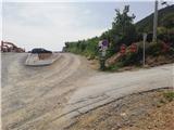
From the parking lot at the end of Prigorec village, continue east. Quickly reach a junction where the path to the ski slope and Šumi stream branches left downhill; we go right. After a few steps, reach a signpost that leads us across gentle meadows east to the start of the Pionir trail.
The trail ahead is initially quite steep, in the first part running through forest and over roots; higher up it levels out and brings us to the ridge. A short easy section follows, then we ascend more steeply again on a rockier path.
Further ahead, the path leads to a somewhat more demanding section where, optionally, we can use hands for easier progress. At the top of the demanding part, we are rewarded with a nice view towards Konj peak and north.
Some flat terrain follows, after which the path becomes demanding again, splitting briefly before rejoining. Higher up, another wonderful view opens up; the path eases but remains very steep. Walking through forest follows, soon reaching Legesičina peak where the steepness finally eases.
Here the path turns from south to west, gradually widening into a broad cart track, which we leave in the mixed forest belt. The path ahead becomes rocky again; soon we join the Prekrižje trail.
We exit the forest onto the former ski slope; after a short ascent, we are at the mountain hut, and one minute more to the summit.
The trail has not been marked for years, with some old markings still visible along the way, but it is not orientationally difficult as it is very well trodden.

Photos:
 1
1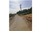 2
2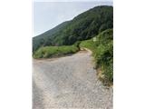 3
3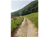 4
4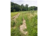 5
5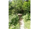 6
6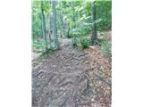 7
7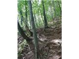 8
8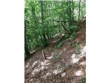 9
9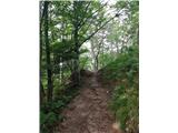 10
10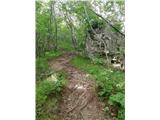 11
11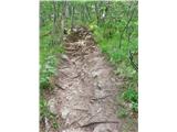 12
12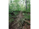 13
13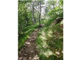 14
14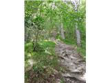 15
15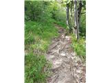 16
16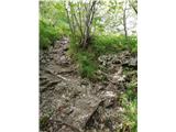 17
17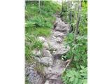 18
18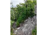 19
19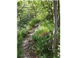 20
20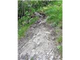 21
21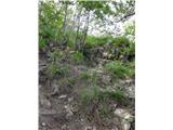 22
22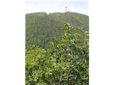 23
23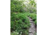 24
24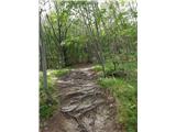 25
25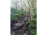 26
26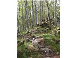 27
27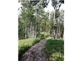 28
28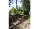 29
29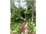 30
30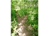 31
31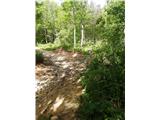 32
32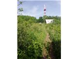 33
33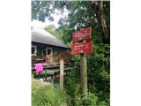 34
34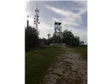 35
35
Discussion about the trip Prigorec - Ivanščica (Pionir)
To post a comment you must log in:
If you do not yet have a username, you must first
register.