Prigorec - Ivanščica (Prekrižje)
Starting point: Prigorec (396 m)
Route name: Prekrižje
Walking time: 2 h
Difficulty: easy marked way
Elevation gain: 665 m
Elevation difference along the route: 665 m
Map:
Recommended equipment (summer):
Recommended equipment (winter): crampons
Views: 4.630
 | 1 person like this post |
Access to starting point:
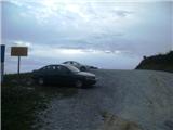
a) We arrive in Croatia at the Gruškovje / Macelj border crossing. We exit the motorway at the first exit and head towards Varaždin. Along the route are Trakoščan, Bednja, Lepoglava, and we reach Ivanec. In Ivanec, at the intersection with traffic lights, we turn right to the south (now the summit of Ivanščica is directly ahead) and drive straight on. The road begins to climb and takes us to the village of Prigorec. We drive through the village straight ahead and uphill, and beside the highest house we reach a large parking lot, often full due to high popularity, where we leave the vehicle.
b) From Prekmurje via the Petišovci / Mursko Središće border crossing we arrive in Croatia and continue driving through Čakovec and Varaždin, where we turn towards Ivanec. In Ivanec, at the junction with traffic lights, we turn left to the south and follow description a.
Route description:
From the parking lot we continue east along the gravel road, from which the unofficial path "Po struji" branches right after fifty metres. Soon we reach the next junction, where we go slightly right uphill; after the junction, the Pionir path also branches right. Further on, our path enters the forest, continuing through it on a wider track on which we ascend gently. The path leads past a small interesting cave, followed by some bends where the path imperceptibly turns southeast. The track becomes gravelly and steeper, but soon levels out. About 20 minutes of flat terrain follow, then we reach a larger junction where there are usually many logs.
At the junction we turn sharply right uphill and continue the ascent on the steep section. At the nearby bend the path eases slightly, followed by more walking to the important Prekrižje junction, after which this path is named. Several paths join from the left here, from Novi Marof, Grebengrad, Pokojec, Ham, Budinščina and Gornja Selnica; we go right.
The path moves onto the southern slopes of Ivanščica, where through the treetops we spot the villages of Budinščina and Zajezda, and Sljeme in the distance. Continuing on, the path steepens and leads to a junction at the Židovina section, where the path from Belac joins.
We go right uphill on initially gentle then increasingly steep terrain continuing on the track. When the gradient eases, the Pionir path joins from the right; then we leave the track for a narrower trail leading out of the forest onto the ski slope below Ivanščica summit (a project that never materialised). We pass the hut and reach the end of the building with the TV tower at Planinska koča Pasaričev dom. Here we turn left and in under a minute reach the summit with its viewpoint tower offering superb views.
The described route is the longest but also the easiest from Prigorec. Many hikers use it for descent.
Prigorec - junction with logs 45 min
junction with logs - Prekrižje junction 15 min
Prekrižje junction - Židovina junction 10 min
Židovina - summit 50 min.

Photos:
 1
1 2
2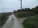 3
3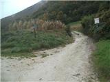 4
4 5
5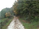 6
6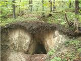 7
7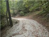 8
8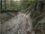 9
9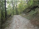 10
10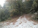 11
11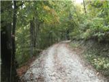 12
12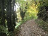 13
13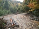 14
14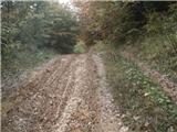 15
15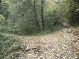 16
16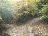 17
17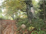 18
18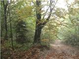 19
19 20
20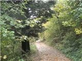 21
21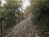 22
22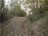 23
23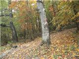 24
24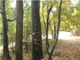 25
25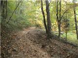 26
26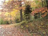 27
27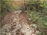 28
28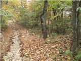 29
29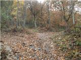 30
30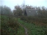 31
31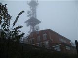 32
32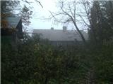 33
33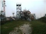 34
34
Discussion about the trip Prigorec - Ivanščica (Prekrižje)
To post a comment you must log in:
If you do not yet have a username, you must first
register.