Radenski kal - Mala Radenska stena
Starting point: Radenski kal (350 m)
| Latitude/Longitude: | 45,47046°N 15,10307°E |
| |
Walking time: 35 min
Difficulty: easy marked way
Elevation gain: 78 m
Elevation difference along the route: 90 m
Map: Bela krajina - izletniška karta 1:50.000
Recommended equipment (summer):
Recommended equipment (winter):
Views: 465
 | 1 person like this post |
Access to starting point:
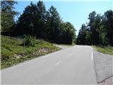
The described path starts beside the road Stari trg ob Kolpi - Vinica, near the marked crossroad to Radenski kal. At the crossroad, there is also a chapel; we park at an appropriate place at the crossroad.
Route description:
From the starting point, we continue along the edge of the main road towards Vinica, along which we walk to the road sign 16.5 km, where we go right onto the path in the direction of Radenske stene. There follows a gentle walk on a cart track which mostly leads through the forest, and after a few minutes we arrive at a marked junction, where we go right towards Radenci and Mala Radenska stena (left Velika Radenska stena).
After the junction, we begin to descend gently, and we quickly arrive at Mala Radenska stena, from which a beautiful view opens up towards the river Kolpa.
Description and pictures refer to the condition in August 2020.
Photos:
 1
1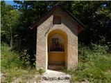 2
2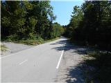 3
3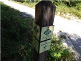 4
4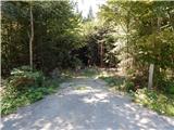 5
5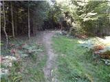 6
6 7
7 8
8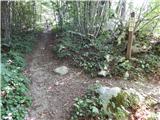 9
9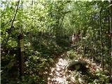 10
10 11
11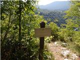 12
12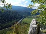 13
13
Discussion about the trip Radenski kal - Mala Radenska stena
To post a comment you must log in:
If you do not yet have a username, you must first
register.