Radlje ob Dravi - Sveti Anton na MP Radelj / St. Anton am Radlpaß (via old castle)
Starting point: Radlje ob Dravi (370 m)
| Latitude/Longitude: | 46,61640°N 15,21080°E |
| |
Route name: via old castle
Walking time: 2 h 15 min
Difficulty: easy marked way
Elevation gain: 350 m
Elevation difference along the route: 400 m
Map: Pohorje - izletniška karta 1:50.000
Recommended equipment (summer):
Recommended equipment (winter): crampons
Views: 329
 | 1 person like this post |
Access to starting point:
From the road Dravograd - Maribor, in Radlje ob Dravi, from the crossroad at the store Lidl, we drive in the direction of the center of the settlement and mountain pass Radeljski prelaz. After the crossroad, we also drive past the store Hofer and past the turn-off of the road to the left towards Sveti Trije Kralji, and at the next crossroad left towards Austria. Immediately after the crossroad, we go once again left and we park on a larger asphalt parking lot near the mansion Dvorec Radlje.
Route description:
From the parking lot, we continue towards the east, where we first carefully cross the main road Radlje ob Dravi - mountain pass Radeljski prelaz, and on the other side of the road the path splits into two parts.
We can continue left on a forest and historical trail Stari grad, or straight on the trim trail. Both paths are well marked and higher in the forest they join and then also a few times cross each other, and higher they run on the same route. Higher, the path turns left and transitions to a somewhat steeper slope, where it is fenced with a wooden fence, and when the fence on the left ends it splits.
We continue straight (sharply right continues a trim trail, learning path and the path which leads to the old castle) and a little further we join a wide cart track which we follow to the left. When we have returned to the cart track, we again join the learning path and trim trail, and a little further from the right also the marked European footpath E6 joins.
In the following we finally leave the trim trail and learning path and at the crossings we follow the yellow-red blazes. A little further, we reach the macadam road which we follow to the left, along which we descend lightly. The path on the road leads us past the pasture and homestead Majerhof, and then blazes point us from the road slightly right on a cart track, from which a little further we go slightly left, on at first parallel marked path, which later gradually distances itself from the cart track. Later we temporarily join another cart track, and the path which leads us across numerous streams and which for most of the time ascends gently to moderately brings us to a crossing, by which there is a signpost.
Signs point us slightly left on the path which descends to the inn Žohar, where there is a stamp, and we continue slightly right, on a beaten, but for a short time unmarked footpath which above the inn returns to a marked path, and we reach it on a cart track which we follow to the right. Next follows a short ascent on a cart track, and then it splits, and we continue on the left, which brings us out of the forest on panoramic meadows. On the cart track, we ascend to the road which we reach at the marked crossing by the birch tree.
From the crossing, we go left towards the mountain pass Radelj (right Kapunar), and the road soon enters the forest. In the forest, we go at first straight (sharply right farm Ternik), and then follows some more light descent. At the next crossroad, we go once again slightly left and then we reach the main asphalt road which we follow to the right, and there we continue all the way to mountain pass Radelj.
On the mountain pass, we cross the national border, and after the buildings on the mountain pass, we continue left in the direction of sv. Anton / St. Anton (right mountain hut Kapunerhütte). The path ahead leads us on a macadam road, from which after the gate we go slightly left on a marked footpath. On the footpath for a few minutes we continue by the national border, and then the path turns a little to the right and returns to a macadam road which continues above the quarry. With nice views we continue to a marked crossing, from which we go right towards sv. Anton (left sv. Lovrenc / St. Lorenzen). Next follow two hairpin turns and some descent, and then we leave the area of a large quarry and in a few minutes through the forest we ascend to the church of sv. Anton.
Radlje ob Dravi - mountain pass Radelj 1:45, mountain pass Radelj - sv. Anton 0:30.
Description and pictures refer to the condition in the year 2019 (May).

Along the route: Prelaz Radelj (674m)
Photos:
 1
1 2
2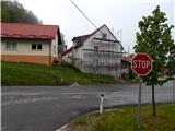 3
3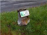 4
4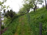 5
5 6
6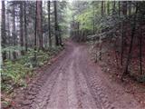 7
7 8
8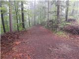 9
9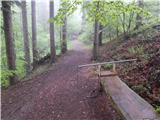 10
10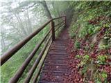 11
11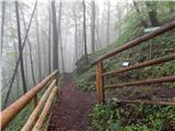 12
12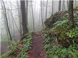 13
13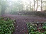 14
14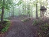 15
15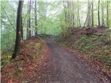 16
16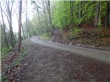 17
17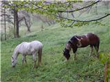 18
18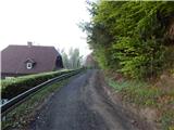 19
19 20
20 21
21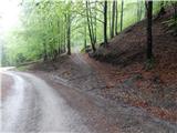 22
22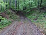 23
23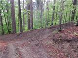 24
24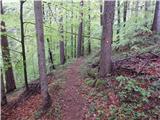 25
25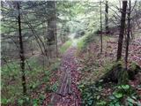 26
26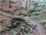 27
27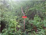 28
28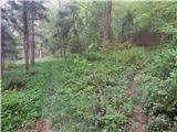 29
29 30
30 31
31 32
32 33
33 34
34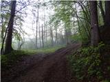 35
35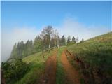 36
36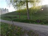 37
37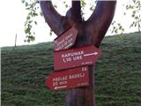 38
38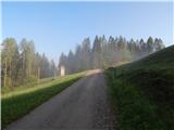 39
39 40
40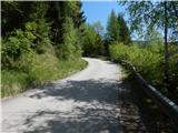 41
41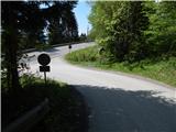 42
42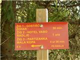 43
43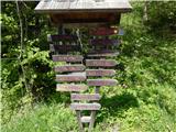 44
44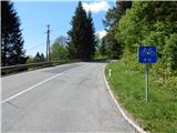 45
45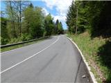 46
46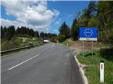 47
47 48
48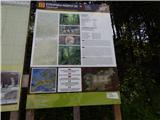 49
49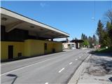 50
50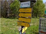 51
51 52
52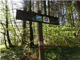 53
53 54
54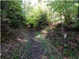 55
55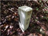 56
56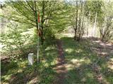 57
57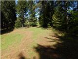 58
58 59
59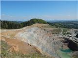 60
60 61
61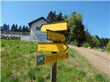 62
62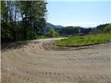 63
63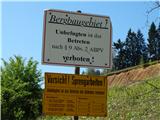 64
64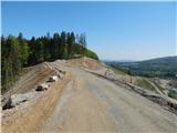 65
65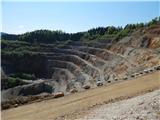 66
66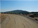 67
67 68
68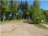 69
69 70
70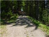 71
71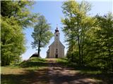 72
72 73
73 74
74
Discussion about the trip Radlje ob Dravi - Sveti Anton na MP Radelj / St. Anton am Radlpaß (via old castle)
To post a comment you must log in:
If you do not yet have a username, you must first
register.