Rateče - Bivak brez meja / Bivacco Senza Confini (west path)
Starting point: Rateče (865 m)
| Latitude/Longitude: | 46,49800°N 13,71640°E |
| |
Route name: west path
Walking time: 1 h 45 min
Difficulty: easy unmarked way
Elevation gain: 454 m
Elevation difference along the route: 505 m
Map: Kranjska Gora 1:30.000
Recommended equipment (summer):
Recommended equipment (winter): ice axe, crampons
Views: 858
 | 1 person like this post |
Access to starting point:
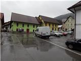
First, we drive to Kranjska Gora, then we continue driving towards Rateče. At the crossroads, where the road to Planica branches off to the left, and straight ahead it continues towards Italy, we turn right and drive to the center of Rateče, where we park at an appropriate place.
Route description:
From the center of Rateče we follow the signs for the footpath to Tromeja. At first, we walk along the road that leads through the settlement, at the crossroads we follow the signs for Tromeja. When at the information board of Rateče the marked path leaves the road and continues right into the forest, we continue straight ahead along the road, which is no longer marked further on. A few steps ahead, at the smaller crossroads, we continue straight, then the road past the "last" house turns into a cart track, from which a nice view opens up on Rateče and Ciprnik. After crossing a strip of forest we arrive at a pasture fence, behind it we continue right and on the grassy cart track we begin to ascend across the pasture. With nice views on the Julian Alps, in a few minutes we reach the road that leads from Rateče towards Tromeja, which we follow to the left, but we walk on it only a few steps. After a few steps, on the right we notice a gate and passage across another pasture fence, which we cross, then slightly to the right, in the direction towards the forest we notice first a poorly visible, then increasingly clear cart track. On the cart track we ascend diagonally with nice views, then we cross another pasture fence and enter the forest. In the forest we almost imperceptibly cross the state border, then we join the marked path from Italy (in descriptions starting point Pri Jalnu / Fusine Laghi).
Further on we ascend diagonally through the forest, crossing a few torrents over which the passages are not difficult. When higher up we step onto the road, we follow it to the right, along which we ascend moderately for a few more minutes. Immediately after the road levels out or crosses to the other side, a road leading to Kavalar / Monte Cavallar branches off to the left, and we continue straight ahead along the road that begins to descend moderately. The road quickly takes us out of the forest, along the edge of a larger meadow, from where a view opens up on the nearby Kopa / Monte Coppa.
After a short descent first a road to Marija Snežna / Madonna della Neve (on the sign Maria im Schnee) branches off to the left, a few meters further on to the right a road to Kopa / Monte Coppa (1497 m). In both cases we continue straight, we descend a little lower along the road to the next crossroads, by which there is a water trough and mountaineering signposts.
Here we continue slightly to the right and past the bunker from the time of the Rapallo border, we ascend a little higher to the place where the signs for Peč (on the sign German inscription Dreiländereck) direct us right onto a moderately steep cart track, along which in a few minutes we ascend to the bivouac without borders (inscription on the bivouac - Senza Confini Hütte).
Description and pictures refer to the condition in 2015 (October).

The trip can be extended to the following destinations: Ofen/Peč
Photos:
 1
1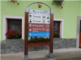 2
2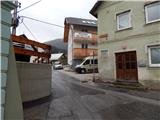 3
3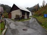 4
4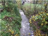 5
5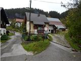 6
6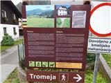 7
7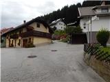 8
8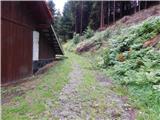 9
9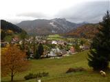 10
10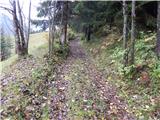 11
11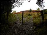 12
12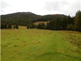 13
13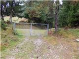 14
14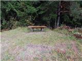 15
15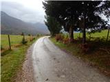 16
16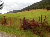 17
17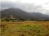 18
18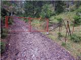 19
19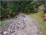 20
20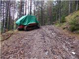 21
21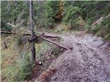 22
22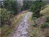 23
23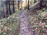 24
24 25
25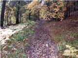 26
26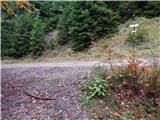 27
27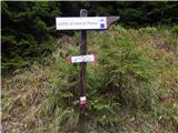 28
28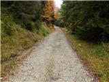 29
29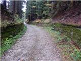 30
30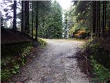 31
31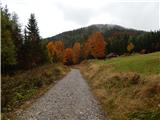 32
32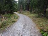 33
33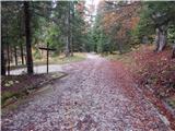 34
34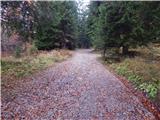 35
35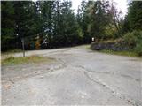 36
36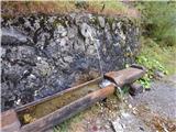 37
37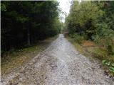 38
38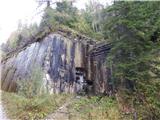 39
39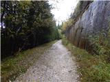 40
40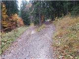 41
41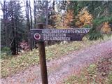 42
42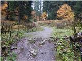 43
43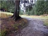 44
44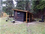 45
45
Discussion about the trip Rateče - Bivak brez meja / Bivacco Senza Confini (west path)
To post a comment you must log in:
If you do not yet have a username, you must first
register.