Rateče - Dreiländereck Hütte (by road)
Starting point: Rateče (865 m)
| Latitude/Longitude: | 46,49790°N 13,71180°E |
| |
Route name: by road
Walking time: 1 h 45 min
Difficulty: easy marked way
Elevation gain: 558 m
Elevation difference along the route: 565 m
Map: Kranjska Gora 1:30.000
Recommended equipment (summer):
Recommended equipment (winter):
Views: 7.139
 | 1 person like this post |
Access to starting point:
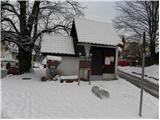
First, we drive to Kranjska Gora, then continue driving towards Rateče. At the crossroad where the road to Planica branches off to the left, and to the right to Rateče, we continue straight. We drive into Rateče at the next crossroad, which is located a few tens of meters in front of the gas station. At the restaurant Mojmir, we continue straight and then after 10 meters sharply to the left onto the road in the direction of Tromeja. The road then ascends above the village, and we park at an appropriate place by the road.
Route description:
From the starting point, we continue on the road along which we parked, which soon turns considerably right and then ascends transversely towards the east. With a view of the peaks of the Julian Alps, the road gradually levels out and brings us into the forest, where a marked footpath joins from the right.
We continue on the road, which becomes steeper, and ascend along it for some time through the forest. Higher up, we cross a panoramic meadow, and the path returns to the forest behind it and brings us to a marked junction. Here we continue straight (right to Dom na Tromeji 3 minutes) and continue along the road, which soon makes a right bend. In the middle of the right bend, a steep footpath leading to Peč - Tromeja branches off to the left, while we continue right and further along the macadam road. The road then ascends transversely to the right for some time, then splits into two parts. We choose the upper left path (the right road leads towards Korensko sedlo) and ascend transversely to the right for some time. Higher up, the road turns sharply left and slowly begins to approach the border ridge between Slovenia and Austria. When we are almost at the border ridge, another forest road branches off sharply to the right. Here we continue straight and follow the road to a sort of saddle, where the path to the Austrian side branches off to the right.
Here we continue right (straight to Peč 15 minutes) and after 3 minutes of further walking arrive at the Dreiländereck Hütte hut.

The trip can be extended to the following destinations: Ofen/Peč
Photos:
 1
1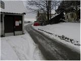 2
2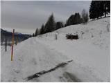 3
3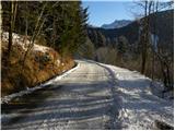 4
4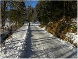 5
5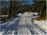 6
6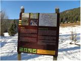 7
7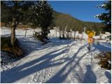 8
8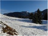 9
9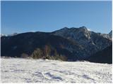 10
10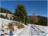 11
11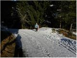 12
12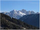 13
13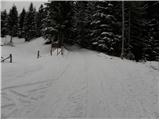 14
14 15
15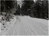 16
16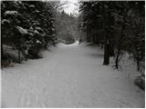 17
17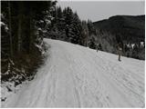 18
18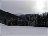 19
19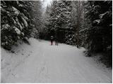 20
20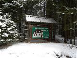 21
21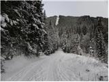 22
22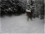 23
23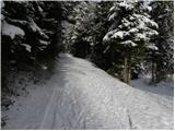 24
24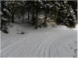 25
25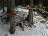 26
26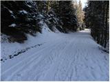 27
27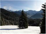 28
28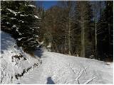 29
29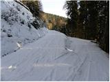 30
30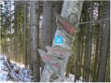 31
31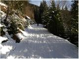 32
32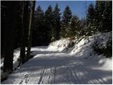 33
33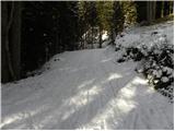 34
34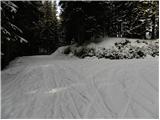 35
35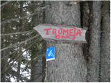 36
36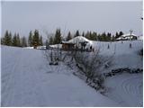 37
37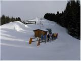 38
38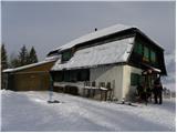 39
39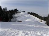 40
40
Discussion about the trip Rateče - Dreiländereck Hütte (by road)
To post a comment you must log in:
If you do not yet have a username, you must first
register.