Rateče - Ofen/Peč (by road)
Starting point: Rateče (865 m)
| Latitude/Longitude: | 46,49790°N 13,71180°E |
| |
Route name: by road
Walking time: 2 h
Difficulty: easy marked way
Elevation gain: 643 m
Elevation difference along the route: 660 m
Map: Kranjska Gora 1:30.000
Recommended equipment (summer):
Recommended equipment (winter):
Views: 45.790
 | 2 people like this post |
Access to starting point:
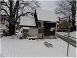
At first, we drive to Kranjska Gora, and then we continue driving towards Rateče. At the crossroad, where the road to Planica branches off to the left, and right to Rateče, we continue straight. We drive into Rateče at the next crossroad, which is located some 10 meters before the gas station. At the restaurant Mojmir we continue straight and then after 10 meters sharply left on the road in the direction of Tromeja. The road then ascends above the village, and we park at an appropriate place by the road.
Route description:
From the starting point, we continue on the road by which we've parked, and it soon turns considerably right and then it ascends diagonally towards the east. When looking at the peaks of the Julian Alps, the road gradually flattens and brings us into the forest, where from the right side marked footpath joins as well.
We continue on the road which becomes steeper, and for some time we are ascending through the forest. Higher, we cross panoramic meadow, and the path after it returns into the forest and it brings us to the marked crossroad. Here we continue straight (right mountain hut Dom na Tromeji 3 minutes) and we continue on the road which soon makes a right turn. In the middle of the right turn steep footpath branches off to the left, which leads on Peč - Tromeja, and we go right and we still continue on a macadam road. The road is then for some time ascending diagonally towards the right, and then splits into two parts. We choose the upper left path (right road leads towards the saddle Korensko sedlo) and we are then for some time ascending diagonally towards the right. Higher, the road turns sharply to the left and slowly starts to get closer to the border ridge between Slovenia and Austria. When we almost reach the border ridge another forest road branches off sharply to the right. Here we continue straight and we follow the road to some sort of saddle, where the path on the Austrian side branches off to the right.
Here we continue straight (right mountain hut Dreiländereck Hütte 3 minutes) and moderately steep road, from which increasingly beautiful views are opening up, we follow to the top of Peč, which we reach after a little less than 15 minutes of additional walking.

Photos:
 1
1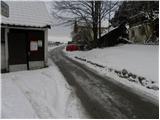 2
2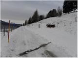 3
3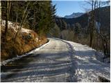 4
4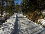 5
5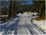 6
6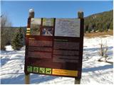 7
7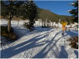 8
8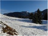 9
9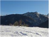 10
10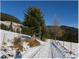 11
11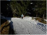 12
12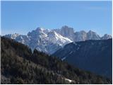 13
13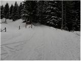 14
14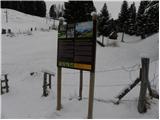 15
15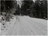 16
16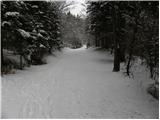 17
17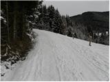 18
18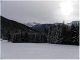 19
19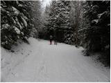 20
20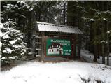 21
21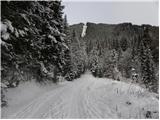 22
22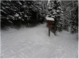 23
23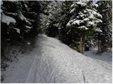 24
24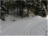 25
25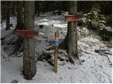 26
26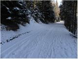 27
27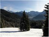 28
28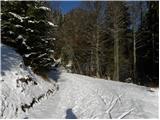 29
29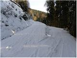 30
30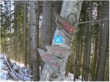 31
31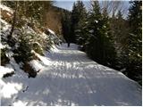 32
32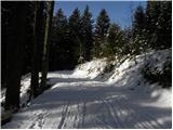 33
33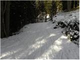 34
34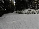 35
35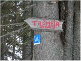 36
36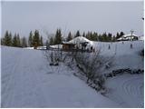 37
37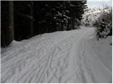 38
38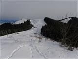 39
39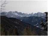 40
40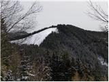 41
41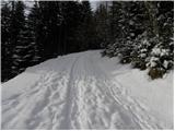 42
42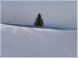 43
43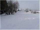 44
44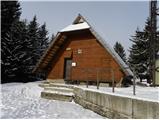 45
45 46
46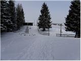 47
47 48
48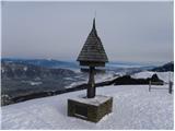 49
49 50
50
Discussion about the trip Rateče - Ofen/Peč (by road)
|
| Gost16. 01. 2007 |
We went on this trip with school in autumn. I really liked it. It's worth going to the top because the view is very nice.
|
|
|
|
| Gost18. 01. 2007 |
Has anyone hiked from Tromeja to Stol? Approximately how long?
|
|
|
|
| Gost18. 12. 2007 |
And does anyone know if you can already sledge from Tromeja?
|
|
|
|
| Gost18. 12. 2007 |
The snowfall in this part of Slovenia was too small for sledding. Maybe on snow mixed with rocks, if you enjoy that too then you can go, if not wait a little longer.
|
|
|
|
| starakapa3. 02. 2008 |
Yes, I walked this trail from Stol to the tripoint. First day I slept on Golica, second day in the bivouac under Kepa, third day at the tripoint.
I had nice weather, daily I walked as needed 8 to 10 hours. Fourth day I descended to Kranjska Gora and to the bus.
Try it, the trail is unique and extremely scenic. I also saw marmots. No water shortage, just need a lot of patience as the trail goes up and down a lot. Let me say, I didn't always follow the markers, as they are missing in many places, especially near Podkoren and then across the road to the tripoint. If you want more info or photos from the trail, write your address and I'll gladly send them. LP Starakapa
|
|
|
|
| starakapa3. 02. 2008 |
There I was wrong, it's not Podkoren but Rateče, hope this won't affect understanding the trail description
|
|
|
|
| babica 53. 03. 2023 08:17:09 |
Very nice weather is forecast for tomorrow, so I'm curious about the hiking conditions? Should I go along the road or the footpath? But I don't want to make new tracks.
|
|
|
To post a comment you must log in:
If you do not yet have a username, you must first
register.