Ravenska Kočna - Vellacher Turm / Storžek (Slovenska pot)
Starting point: Ravenska Kočna (1000 m)
| Latitude/Longitude: | 46,38500°N 14,53640°E |
| |
Route name: Slovenska pot
Walking time: 4 h
Difficulty: very difficult marked way
Elevation gain: 1110 m
Elevation difference along the route: 1225 m
Map: Kamniške in Savinjske Alpe 1:50.000
Recommended equipment (summer): helmet, self belay set
Recommended equipment (winter): helmet, self belay set, ice axe, crampons
Views: 6.950
 | 1 person like this post |
Access to starting point:
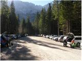
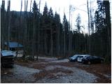
From the Ljubljana - Jesenice motorway, take the exit Kranj - vzhod and continue on the road towards Jezersko. At Zgornje Jezersko, shortly after the petrol station, you will notice a road branching off to the right from the main road (direction Planšarsko jezero). The road then leads past the mentioned lake and after it climbs steeply for a short time. Higher up, the road levels out and at the beginning of a large meadow loses its asphalt surface. Continue on the gravel road to the marked larger parking area, where parking is chargeable (10 EUR per day, data from 2026).
Route description:
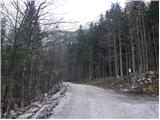
From the parking lot we continue along the gravel road following the signs "Češka koča, Ledine" and after about 15 minutes of walking we reach a junction at the lower stations of the cargo cable car for Češka koča and Kranjska koča.
We continue slightly left towards Kranjska koča on Ledine (right Češka koča on Spodnje Ravne), where after a few steps we reach the lower station of the cargo cable car leading to Kranjska koča (the building completely burned down in 2015, later a new one was built).
Here the path splits again, and we choose the direction that continues slightly right and is marked for the path through Žrelo and Slovenska pot (left leads an easier hunting path to Ledine).
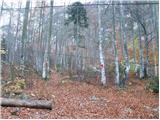
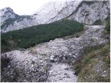
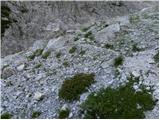
We continue walking through the forest for a short time, then the path leads us to grassy terrain partially overgrown with dwarf pines. Here the path turns slightly left, initially still leading through a narrow strip of dwarf pines, then transitions to a scree slope, where first to the right branches the via ferrata opened in October 2014 towards Češka koča, but we continue following the signs for Ledine.
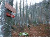
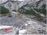
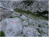
We continue ascending transversely to the left. As we approach the mighty gully Žrelo, another path to Češka koča branches off to the right, the one known as Umik Žrela (the junction is marked with the inscription "Češka koča" on a rock). A few dozen meters further, as we enter the mighty gully, the path splits once more.
Up the scree or gully branches the path through Žrelo, which has been closed for several years and will very likely remain permanently closed due to the high risk of falling rocks and consequently damaged protections. We turn slightly left in the direction of Slovenska pot, where we quickly enter the wall, in which we will continue the ascent on a very demanding mountain path.
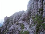
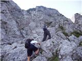
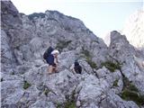
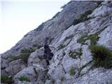
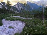
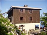
The path ahead leads us over well-protected terrain, which due to its shady location is often slippery and wet, requiring even greater caution. Higher up the path is also quite exposed in several sections, and due to the steepness exposed to falling rocks, so a helmet is mandatory. When we ascend above the wall with beautiful views of the surroundings, the path transitions among dwarf pines, where it continues to ascend steeply. Higher up, the previously mentioned path through Žrelo joins from the right, but we keep to the left direction and after about 20 minutes of further walking reach Kranjska koča on Ledine.
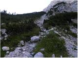
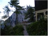
On the other side of the hut the path splits, and we continue straight towards Okrešelj, Ledinski vrh and Baba (left down the hunting path into the valley of Ravenske Kočne), where we first ascend gently, then moderately. This is followed by a short protected but undemanding ascent, then from our path slightly to the left branches Rudijeva vertikala towards Velika Koroška Baba.
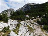
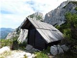
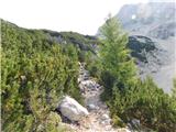
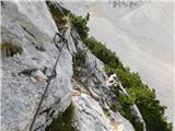
We continue slightly right, at the next junction we go slightly left (slightly right path leads towards the foot of the scree slopes of Ledenik pod Skuto). This is followed by an ascent to the GRS hut or the markers' hut, then through dwarf pines we ascend to a short demanding section, where with the help of a cable we cross a short rock slab. On the other side of the protected section we ascend steeply for a few minutes, when the path and slope level out the path soon splits.
We continue on the slightly left path leading towards Jezersko sedlo (slightly right Križ) and ascend steeply for a few more minutes, higher up it levels out and with beautiful views of the surrounding mountains leads us to the junction at Jezersko sedlo.
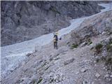
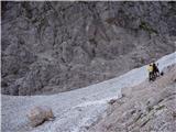
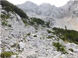
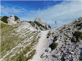
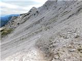
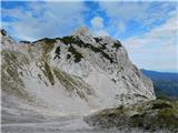
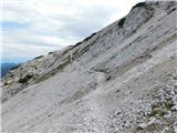
At the saddle we turn right down towards Savinjsko sedlo (straight leads the path to Ledinski vrh and Velika Koroška Baba), where we first descend steeply over crumbly terrain, then cross scree slopes to the left (this section of the path runs entirely on Austrian state territory). In the final part of the crossing follows a short ascent to the ridge, along which we continue to the nearby Savinjsko sedlo, where we return to the state border.
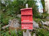
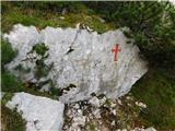
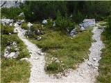
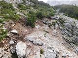
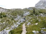
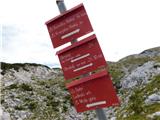
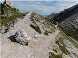
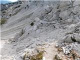
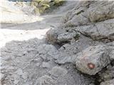
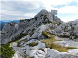
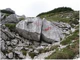
From Savinjsko sedlo we continue sharply left (slightly right Okrešelj) on a path that entirely returns to the territory of neighboring Austria and begins to descend towards the valley of Belske Kočne / Bad Vellach. After a few minutes of descent we notice a large inscription on the rock "Klettersteig" on the left side. Here we leave the path leading towards the valley and turn left uphill on a somewhat less trodden trail. The path, which is subsequently marked with red dots, soon leads us to the entry into the climbing section.
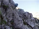
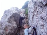
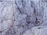
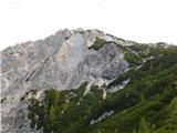
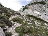
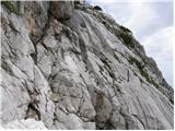
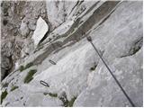
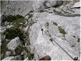
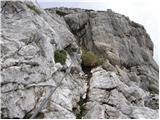
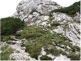
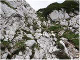
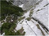
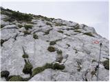
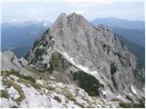
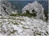
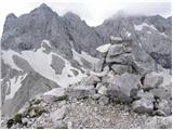
It should be noted that the protections on this path are in very poor condition, so extreme caution is required. The climbing path initially with the help of a cable and pegs crosses the steep eastern slope of the mountain towards the north. The path then turns left and ascends steeply along the cable upwards. Later it leads us to a steep, partially grassy slope, where additional caution is required as the trail is often slippery. In the final part we turn left, then follows only a short ascent on an unprotected slope towards the summit.
Starting point - cargo cable car 0:15, cargo cable car - via ferrata junction 0:20, via ferrata junction - junction below Žrelo 0:25, junction below Žrelo - junction above Žrelo 0:45, junction above Žrelo - Kranjska koča 0:20, Kranjska koča - junction of Rudijeva vertikala 0:05, junction of Rudijeva vertikala - junction below Jezersko sedlo 0:35, junction below Jezersko sedlo - Jezersko sedlo 0:20, Jezersko sedlo - Savinjsko sedlo 0:15, Savinjsko sedlo - junction of path to Storžek 0:05, junction of path to Storžek - Storžek 0:35.
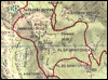
Along the route: Kranjska koča na Ledinah (1075m), Odcep ferate (1186m), Pod Žrelom (1353m), Nad Žrelom (1589m),
Kranjska koča na Ledinah (1700m), Odcep Rudijeve vertikale (1706m), Koča GRS (1768m), Razpotje pod Jezerskim sedlom (1911m), Jezersko sedlo (2036m), Savinjsko sedlo (1999m), Odcep poti na Storžek (1951m)
Photos:
 1
 2
 3
 4
 5
 6
 7
 8
 9
 10
 11
 12
 13
 14
 15
 16
 17
 18
 19
 20
 21
 22
 23
 24
 25
 26
 27
 28
 29
 30
 31
 32
 33
 34
 35
 36
 37
 38
 39
 40
 41
 42
 43
 44
 45
 46
 47
 48
 49
 50
 51
 52
 53
 54
 55
 56
 57
 58
 59
 60
 61
 62
 63
 64
 65
 66
 67
 68
 69
 70
 71
 72
 73
 74
 75
 76
 77
 78
 79
 80
 81
 82
 83
Discussion about the trip Ravenska Kočna - Vellacher Turm / Storžek (Slovenska pot)
|
| garmont30. 07. 2019 |
Unfortunately, the condition of the cables and pegs has been like this for several years. I fear the neighbors have forgotten about this beautiful path. 
|
|
|
|
| dprapr31. 07. 2019 |
They probably don't worry too much about those worn-out cables and pegs, because there is a nice, natural approach on the upper side.
|
|
|
To post a comment you must log in:
If you do not yet have a username, you must first
register.