Rebrca / Rechberg - Eisenkappler Hutte (via Rokov vrh and Počula)
Starting point: Rebrca / Rechberg (602 m)
| Latitude/Longitude: | 46,52700°N 14,57720°E |
| |
Route name: via Rokov vrh and Počula
Walking time: 4 h 20 min
Difficulty: easy marked way
Elevation gain: 951 m
Elevation difference along the route: 1185 m
Map: Karavanke - osrednji del 1:50.000
Recommended equipment (summer):
Recommended equipment (winter): ice axe, crampons
Views: 246
 | 1 person like this post |
Access to starting point:
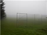
A) Via the Ljubelj border crossing we drive to Austria, then in the settlement Podljubelj / Unterloibl we turn right in the direction of the Hofer store. When we arrive in Borovlje / Ferlach, at the crossroads a little after the railway track we turn left (to the right of the crossroads is the Eurospar store), at the next crossroads after a few hundred meters we turn right in the direction of Železna Kapla / Bad Eisenkappel. Towards Železna Kapla we drive to the settlement Jeriše / Jerischach, after the settlement at the crossroads we turn right in the direction of the settlement Podkraj / Unterort (left Goriče Goritschach). At the smaller crossroads in the middle of Podkraj we continue left, then we start to ascend to a smaller saddle, beside which there is a crossroads and a chapel. Here we continue straight, and just a little further we arrive at the settlement Rebrca / Rechberg, where we park on the parking lot by the grassy football pitch.
B) Via the Jezerski vrh border crossing we drive to Austria, then after Železna Kapla we continue slightly left onto the road in the direction of the village Rebrca / Rechberg. Along the road we then quickly ascend to the mentioned village, at the crossroads in the middle of the village we continue left. We park on the parking lot by the football pitch.
C) We drive to Podjuna, then we follow the signs for Železna Kapla / Bad Eisenkappel. After the settlement Miklavčevo / Miklauzhof, we leave the road towards Železna Kapla and continue right in the direction towards Celovec / Klagenfurt and Borovlje / Ferlach. Further on we drive along the main road towards Borovlje, but we do not drive along it for long, as the signs for Podkraj / Unterort direct us left onto a somewhat narrower road. At the smaller crossroads in the middle of Podkraj we continue left, then we start to ascend to a smaller saddle, beside which there is a crossroads and a chapel. Here we continue straight, and just a little further we arrive at the settlement Rebrca / Rechberg, where we park on the parking lot by the grassy football pitch.
Route description:
At the starting point, signs for Rokov vrh / Rochusberg direct us onto a side road, along which we quickly ascend to the church and cemetery in Rebrca. We bypass both on the left side, then behind the shed we continue on a footpath, which mostly continues through the forest. After a few minutes of mostly moderate ascent, the path splits, and we choose the upper right path (straight Setzhube). There follows a few minutes of steep ascent, and the path flattens when we reach the cart track, along which without major changes in altitude we continue to a junction.
From the junction we go right, first slightly downhill, then we walk along the cart track, which crosses the slopes to the right. When the cart track ends, we continue on the again steeper mountain path, to which just below the summit the path past the Bukovnik homestead also joins.
Here we go right and in a few steps we reach the scenic Rokov vrh.
From the summit we return to the last junction, then we continue straight to the nearby forest road. From the road we soon go right, then for a short time we continue parallel to the road. A little further we return to the road, then from the crossroads we continue straight onto a worse road, from it we then go slightly right onto the footpath, which continues along the ridge. At first we walk parallel to the road, then we start to descend steeply. Lower we reach a smaller saddle, where the path passes to the left side of the nearby steep slope. There follows a traverse of the steep slope, then we reach a worse road, which we follow to the marked junction by the old chapel, where the path past Bukovnik joins us.
We continue slightly right (left Setzhube, right Bukovnik) in the direction of the old signs for Ojstrc and Stara gora. Until now the still relatively easy-to-follow path in the continuation becomes quite overgrown and in places hard to follow. The path is at first still gentle and leads us past the abandoned mine, then it starts to ascend and crosses the forest road several times. During the ascent, mostly old, partly already faded blazes partially help us, otherwise orientation due to the overgrowth is quite difficult in several sections. Higher by the road we notice a yellow mountain signpost, which points back towards the village Rebrca. Just on this section the course of the marked path is somewhat changed compared to most Slovenian maps (on Bergfex.si the newer version of the path is drawn).
We continue straight, as the marked path once ran (slightly right newer path, which bypasses Stockhube) and also from the nearby crossroads we go straight, where with nice views of Ojstrc and the surrounding mountains we arrive at Stockhube. Behind the older cottage the path leads us also past a cross, then we continue along the overgrown cart track, where traces of blazes are visible (blazes are today erased). A little further we reach a wider macadam road, where the old marked path continued slightly right, we continue slightly left and along the road we start to descend. During the descent along the road the path leads us past another entrance to the former lead mine on Obir, then behind the left bend we join the marked path through Kunetov graben / Kunetgraben.
We continue slightly right and again start to ascend. Along the road we ascend to a smaller saddle, then we continue right into the forest on the marked footpath in the direction of Obir. Further we ascend along the overgrown cart track, higher through a longer stretch of raspberry bushes. When the raspberry bushes end, the path first takes us into the forest, a few meters higher also onto a macadam road, which we follow right for a really short time, then we ascend parallel to the road. Further the no longer overgrown path then brings us to the edge of the mountain pasture Zgornja Šefnarca, where we walk along the grazing fence, then we reach the next road. We only cross the road and continue along the cart track in the direction of Kapelška koča / Eisenkappler Hütte. The cart track ascends transversely to the Počula saddle / Potschulasattel, where there is a marked junction and a few steps to the right also a larger chapel.
We continue along the marked path in the direction of Obir, where we first cross the forest road, higher when we step out of the forest also the grazing fence. Across the pasture the trail somewhat disappears, but the direction of ascent remains approximately the same, and along the path there are also some blazes, so there are no major problems with orientation on this section. Here the path also flattens, and when the path enters the forest, a cart track appears, along which we descend to the forest road near Kapelška koča. We cross the road and in a few dozen further steps descend to the mountain hut.
Description and pictures refer to the condition in 2017 (August and September).

Photos:
 1
1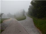 2
2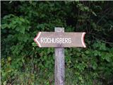 3
3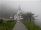 4
4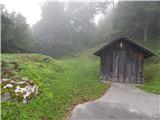 5
5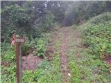 6
6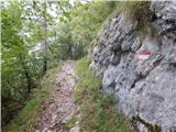 7
7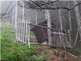 8
8 9
9 10
10 11
11 12
12 13
13 14
14 15
15 16
16 17
17 18
18 19
19 20
20 21
21 22
22 23
23 24
24 25
25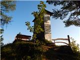 26
26 27
27 28
28 29
29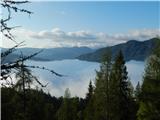 30
30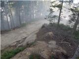 31
31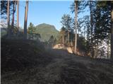 32
32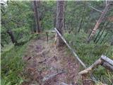 33
33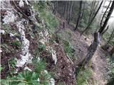 34
34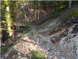 35
35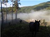 36
36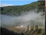 37
37 38
38 39
39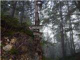 40
40 41
41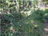 42
42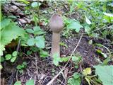 43
43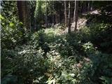 44
44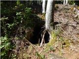 45
45 46
46 47
47 48
48 49
49 50
50 51
51 52
52 53
53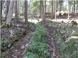 54
54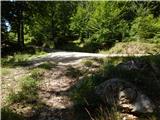 55
55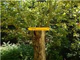 56
56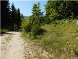 57
57 58
58 59
59 60
60 61
61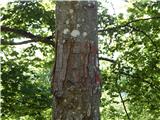 62
62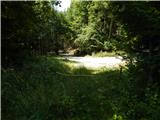 63
63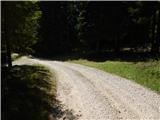 64
64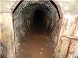 65
65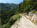 66
66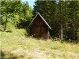 67
67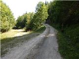 68
68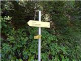 69
69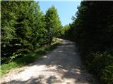 70
70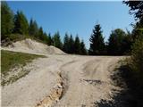 71
71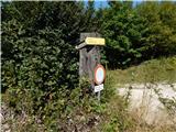 72
72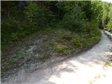 73
73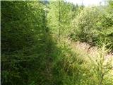 74
74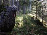 75
75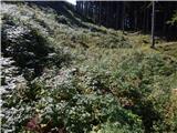 76
76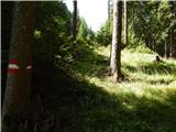 77
77 78
78 79
79 80
80 81
81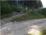 82
82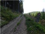 83
83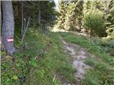 84
84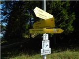 85
85 86
86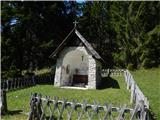 87
87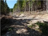 88
88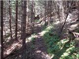 89
89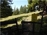 90
90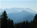 91
91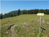 92
92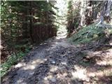 93
93 94
94 95
95 96
96 97
97
Discussion about the trip Rebrca / Rechberg - Eisenkappler Hutte (via Rokov vrh and Počula)
To post a comment you must log in:
If you do not yet have a username, you must first
register.